Petrovac Map: The Promenade, Fortress and Bus Station
A Petrovac map guide to the promenade, fortress, bus station and parking, with the coastal paths to Lučice and Reževići and how the town fits together.
On this page
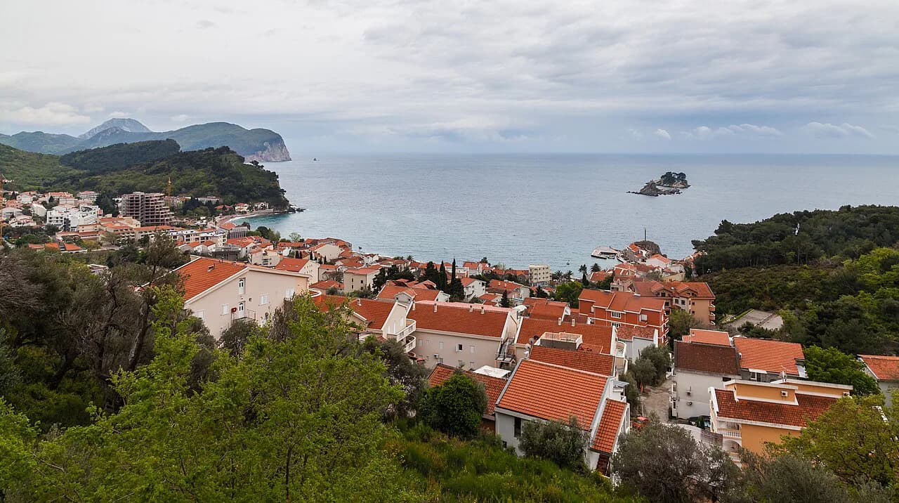
A Petrovac map is less about navigating street by street and more about placing four things correctly: the seafront, the fortress above the centre, the bus station, and the two coastal paths that leave town in opposite directions. Once those are visible on a screen, the rest follows, because the centre is small enough to cross on foot. This guide explains what each part of the map represents.
Petrovac sits on Montenegro's Budva–Bar coast, with Budva and Bar as the nearest larger towns on either side. Online maps handle the street level, while a topographic map is better for the hills behind the shoreline. The two do different jobs, and knowing which to open saves time.
What a Petrovac map shows
Treat the map as an orientation tool rather than a turn-by-turn aid. Find the shoreline first, then the fortress hill behind it, then the point where the main road passes the centre; everything else slots in around those three. Plan by sequence rather than by minutes, because no reliable source gives walking times within the town.
Petrovac on a map of Montenegro
Zoom out and Petrovac appears on the coastal strip between Budva and Bar, both of which have larger transport links and more services. That position explains why the town feels like a stop on a coastal route rather than a hub. For the practical detail on where to stay, eat and swim, see the full Petrovac na Moru guide.
Use a topographic map for the wider picture: it shows elevation and terrain rather than street furniture, so it suits the hills behind the coast and the land between settlements. It carries no Petrovac street detail, so do not expect to find the promenade or a car park on it.
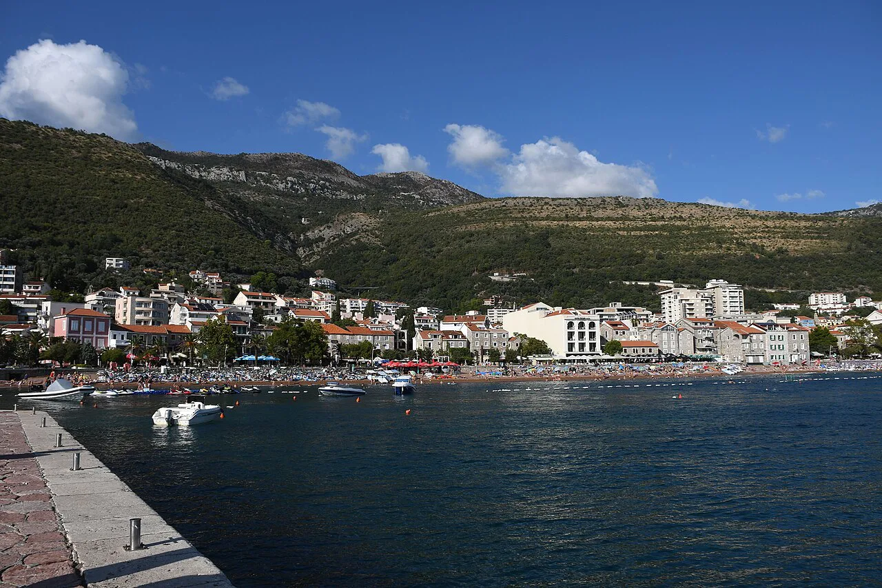
The seafront and promenade
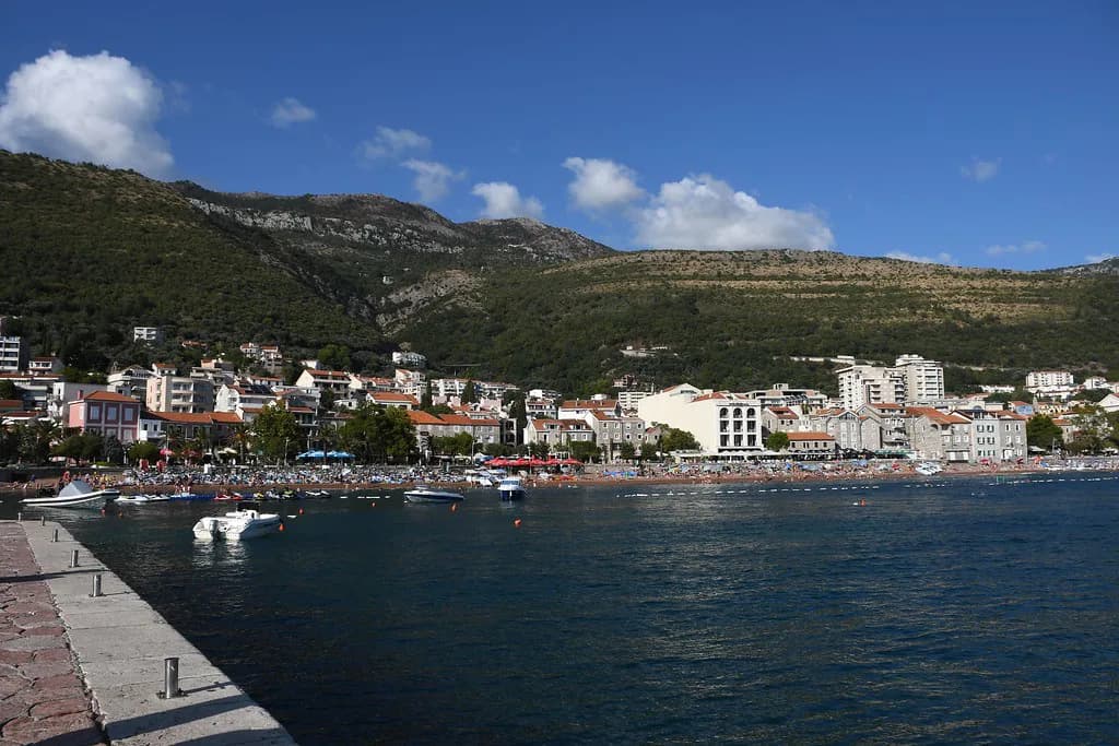
The shoreline runs through the centre of town, which is why the promenade is the easiest orienting line on any map. Trace it end to end and note where it meets the streets leading inland, and you have the town's spine.
Where the promenade edges the old settlement, the raised block to look for on a map is the Petrovac old town, with its Kastio fortress sitting above the waterfront rather than on the beach. That vertical relationship matters: you approach the fortress from the town, not from the water.
Petrovac beach on the map
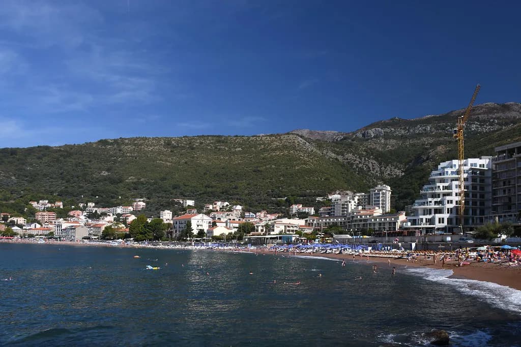
Petrovac beach appears on maps as a distinct shoreline feature with a sand and pebble shore, scenic views and town amenities close by. That description is the useful part for planning: the beach is not an outlying excursion but an edge-of-centre feature you reach from the promenade. Place it on your map and you have also placed the amenities that cluster around it.
The map shows how the eating places cluster along the seafront rather than telling you which is good, so our pick of the best restaurants in Petrovac is a separate decision from the geography. If you want a restaurant close to the water, mark it before you walk, because the seafront is where demand concentrates.
The fortress above the town
On the map, the fortress reads as a raised point immediately behind the centre rather than a destination on the edge of town. You can combine it with the promenade in one walk instead of treating it as a separate trip. Note its position relative to the old town lanes and you have the approach.
Maps show the fortress's position, not its access arrangements or whether anything is charged to enter, so check the town's own information before you go. Use the map for placement and leave the rest to a current local check.
Lučice and Reževići: reading the coastal paths
The two coastal paths out of Petrovac run in opposite directions, and a map makes that easier to grasp than a description does: follow the shoreline one way for Lučice bay and the other for the Reževići stretch. Mark both before setting out so you do not walk the wrong way along the coast. No source gives walking times, so plan by direction and terrain rather than by minutes.
Inland from the Reževići direction sits the Reževići Monastery, a separate stop rather than a point on the coastal path itself. Check the two on the map first to see how they relate, and read about the monastery before you go so you know what you are visiting and how to behave there.
Arriving by bus
The bus station is the one arrival point where a map earns its keep, because you need to connect it to the seafront. Find the station, then trace the line to the promenade; once you have walked that link on screen, the town makes sense. Drop a pin there and work outwards: seafront, beach, fortress, then the paths. Timetables change with the season, so confirm departures with the operator or at the station on the day.
Parking and driving in
Before driving into Petrovac, mark the parking areas on the map rather than arriving and looking; the seafront and beach edges are where you compete for space. Parking arrangements and charges change, so check locally on arrival. Two or three options in different parts of town give you a fallback if the first is full.
The main road passes close to the centre, which is why the town is easy to reach but also why through traffic and the seafront share the same small area. On the map, note where the road runs relative to the beach so you know which side you are approaching from.
Using online maps and area maps
Google Maps works well for Petrovac at street level: it identifies the town and Petrovac beach as a sand and pebble shore with scenic views and adjacent town amenities, and lets you pin the individual places you will want. Saved pins for the promenade, the fortress and the bus station give you a working map before you leave home.
Area maps that plot hotels and attractions across the wider Petrovac coastline show how the resort spreads along the shore, but they are built around accommodation rather than wayfinding. Use them for the coastline's shape, not to navigate the centre.
Boat trips and viewpoints on the map
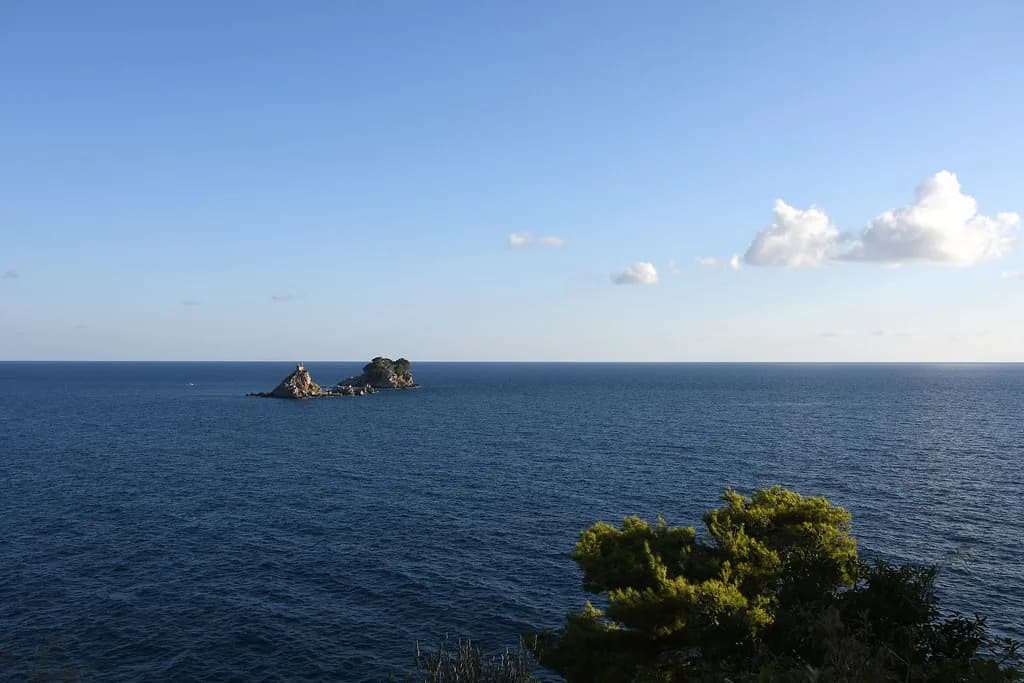
Boat trips leave from the Petrovac waterfront, and a map shows where the seafront gives onto open water rather than the sheltered beach. If a Petrovac boat tour is on your list, pin the departure area and confirm the operator's meeting point when you book, since schedules and prices are seasonal.
Viewpoints sit above the town on the hillside, so on the map they appear inland and higher than the seafront rather than along it. Mark the ones you want before you set out and note the ascent involved; the map shows where the high ground is, not how long the climb takes.
The Petrovac market is a fixed point in the centre that makes a good reference while you are learning the streets; drop a pin on it and you can navigate back from anywhere in town. Check the days when you arrive rather than building a plan around an assumed schedule.
Which map to open first
Open a street-level map first and pin the seafront, the fortress hill, the bus station and the beach; that covers almost everything a visitor needs in Petrovac. Add the two coastal path directions once you are clear on the centre, and keep a topographic map for the wider terrain rather than for wayfinding.
Check bus times, parking arrangements and boat schedules locally before you travel, since these change with the season. Everything else here is about where things are, and in a town this compact the map's main job is to show you how little you need it.
Explore more Petrovac guides
Frequently Asked Questions
Is Petrovac easy to get around on foot?
Yes. The centre is compact and the seafront runs through it, so the promenade, the beach and the old town lanes sit close together. The fortress is on the raised ground just behind the centre rather than out of town. A map will not give you walking times, so plan by sequence rather than by minutes.
Where is Petrovac beach located?
Petrovac beach sits on the shoreline at the centre of town, a sand and pebble shore with scenic views and town amenities close by. On a map it appears as a distinct feature along the seafront rather than as an outlying beach, so you reach it from the promenade.
Do I need a topographic map for Petrovac?
Only if you want the terrain behind the coast. A topographic map shows elevation and land shape and carries no street detail for Petrovac, so it will not help you find the promenade or a car park. Pair it with a street-level map rather than using it alone.
Sources
Notes for your Montenegro trip
Optional updates to our Montenegro town guides.
You might also like
Continue reading
More guides you'll find useful