Perast Map: Waterfront, Churches and Boat Landings
Use this Perast map guide to find the waterfront street, the church tower, the palace museum and the boat landings for Our Lady of the Rocks and St George Island.
On this page
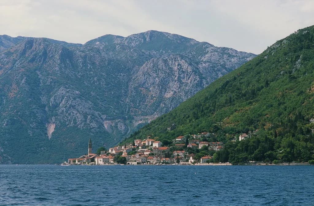
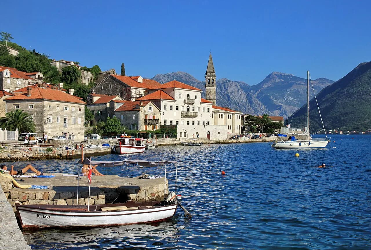
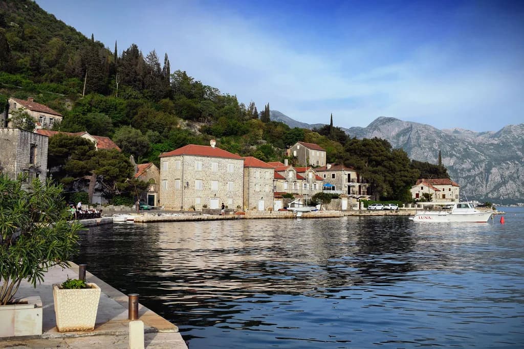
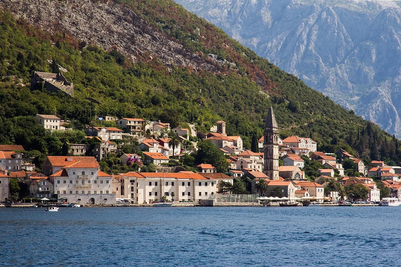
Perast is a one-street town: a short waterfront, Obala kapetana Marka Martinovića, with the bay on one side and the main road running behind the built-up strip. Almost everything a visitor comes for — the churches, the palaces, the museum and the boat landings for the two islands — sits within a few minutes of that shoreline. This guide maps the town as a walking route rather than a list of sights.
Read it alongside a proper street map and you will see why orientation takes minutes rather than hours: the town is linear, so you rarely need to double back. The only real planning decision is whether to spend your time on the shorefront or out on the water, and how much of each the day allows.
What a Perast map covers
A map of Perast shows one continuous shore road, a thin band of stone buildings facing the water, and the hillside road behind them: the townsfolk describe the place as a coastal village whose features line the shore. Treat the single waterfront line as the whole town centre.
Because the town is so compact, a general map is enough once you know what you are looking for. Use it to fix three things: where you leave the car or bus, where the churches and palace museum sit along the shore, and where the boats to the islands pick up passengers.
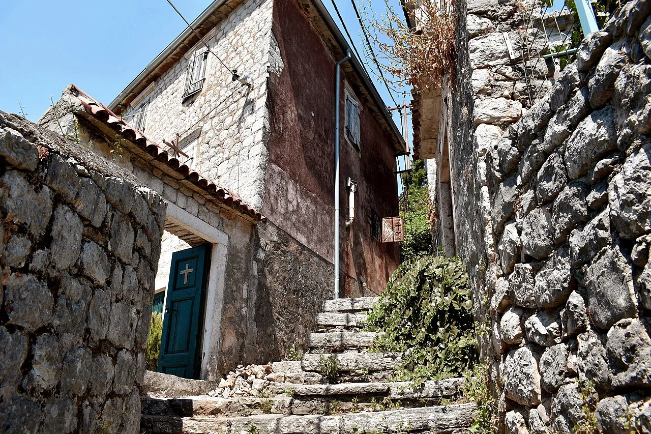
The main axis: Obala kapetana Marka Martinovića
Obala kapetana Marka Martinovića is the spine of the town, running along the water past the restaurants, the museum and the boat landings. The Museum of Perast (Muzej grada Perasta) is listed at Obala Marka Martinovića, and the waterfront restaurants share the same address street, so a single line on the map carries most of your stops.
Walk it once from end to end before stopping anywhere. The street is short enough to cover in one pass, and doing so shows you where the crowds thin out, which landings are busiest and which stretch of quay you want to return to.
Churches marked in the town
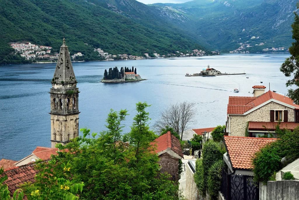
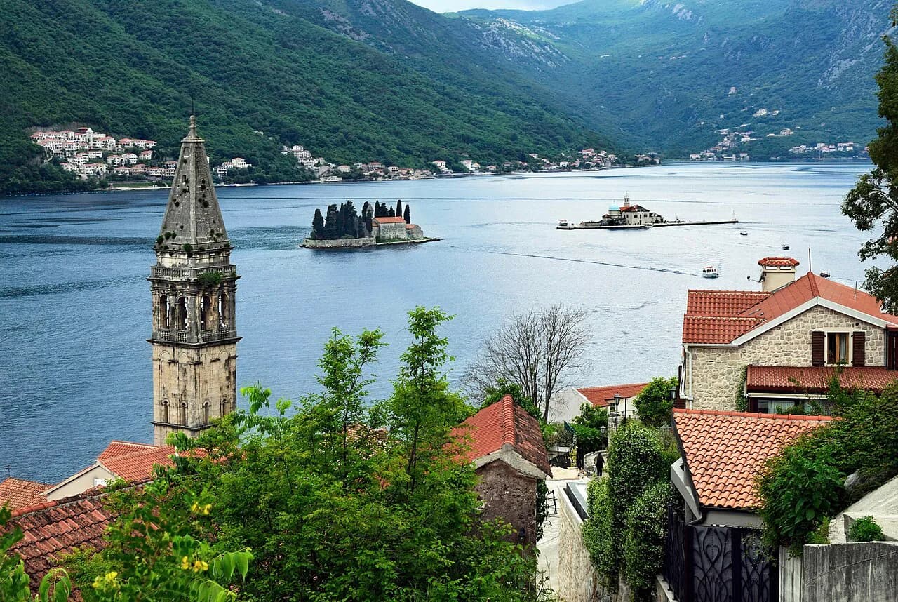
Three religious buildings appear on town maps and listings: St Nicholas' Church, the Church of Our Lady of the Rosaries and the Orthodox Church of the Nativity of the Virgin. St Nicholas' Church overlooks a plaza of statues and date palms, and you can pay a fee to climb its belfry for a view over the rooftops and the bay.
The Church of Our Lady of the Rosaries and the Orthodox Church of the Nativity of the Virgin are both marked in the town listings, so both are useful fixed anchors for your walk. Plan the route around them rather than hunting for each one individually.
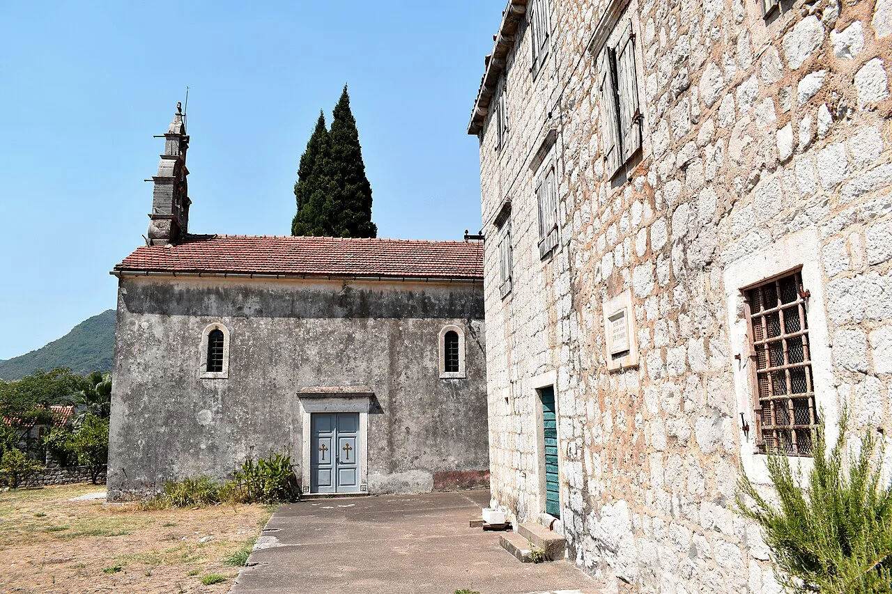
Palaces and civic points
Bujović Palace and the Museum of Perast are the two civic addresses worth marking before you arrive, and the Frano Alfirević monument is listed separately on the town map. Together they give the shorefront its shape: palace, museum, memorial, then open quay.
The palaces along the shore reflect the maritime wealth that shaped the town, and the full Perast History sets out how that came about. For the map, the practical point is that the palace and museum cluster close together, so you can see both in one stop without crossing town.
Boat landings for the two islands
Boats leave from the Perast waterfront for Our Lady of the Rocks (Gospa od Škrpjela), the islet with a church and a small museum and gift shop. The islet itself takes only a few minutes to walk around, so the boat, not the island, sets the pace of the trip.
St George Island (Sveti Đorđe) lies close by on the map, with its Benedictine monastery and the graveyard of Perast's former noble families beside it. It is not set up as a visitor stop in the way Our Lady of the Rocks is, so treat it as a landmark you see from the water and the quay rather than a landing point, and plan your boat time around the one island you can visit.
Sveti Križ and Perast West Beach at the edges
Two features sit at the edge of the built-up area and are easy to miss on a centre-only map: an entry listed as Sveti Križ under the town's castle category and Perast West Beach, both listed with map coordinates on the western side of town. If your map stops at the last restaurant, you will walk past both without noticing.
Add them to the map before you set out if you want to see the whole town rather than just the shorefront strip. They are worth knowing about even if you only glance at them on the way in or out by car.
Where cafés and restaurants cluster
Eating and drinking is concentrated along the shore road: Pirate Bar at Obala Marka Martinovića, Boca Libre for coffee, and Conte, Armonia and Konoba Školji among the restaurants listed in the town. Konoba Školji sits at Obala Marka Martinovića, and Conte and the Hotel Konoba Admiral share the same waterfront address.
In practice this means you never need to leave the waterfront to eat, which is useful when you are fitting a meal around a boat departure. Look at the menus as you walk past rather than committing to the first table you see; the strip is short enough to compare.
Arriving by road from Tivat or Kotor
By road, Perast sits about 20 kilometres (12 miles) north of Tivat Airport, and Podgorica and Dubrovnik airports are the other options named for reaching the town. The coast road from Kotor or Tivat runs along the bay and drops you at the edge of the built-up strip.
Parking is at the edge of town rather than on the waterfront, so plan your arrival around a short walk in — see the Perast parking guide for the options. Once you are on the shore road, use the sea as your reference: keep it on one side and you cannot get lost.
How long the town takes on foot
The waterfront takes well under an hour to walk at an unhurried pace, which leaves the islands as the main variable in your day. A town-only visit and a visit that includes Our Lady of the Rocks are different trips, and deciding between them before you arrive saves a scramble at the landing.
If you only have a short stop, choose the waterfront or the island rather than attempting both at a rush: the shorefront rewards time spent looking up at the facades and the belfry view, while the island trip uses up time in boats and queues. A planned route along the shore gets you round the churches, palace and museum without doubling back.
For the wider picture of what the town contains beyond the map, start with the full Perast Old Town guide. It sets the waterfront, the churches and the boat landings in context and helps you decide how much of the day Perast deserves.
Waterfront first, or straight to the island?
Walk the waterfront end to end first, noting the museum, the churches and the boat landing as you go, then decide whether the island crossing fits your remaining time. That order costs you nothing and stops you committing to a boat before you have seen how the town sits together.
Check boat departure points and any belfry or museum charges on the ground before you pay. The Perast Old Town guide covers the streets and buildings once you are off the quay.
Frequently Asked Questions
Is there much to do in Perast?
Perast is compact: one waterfront street with several churches, a palace housing the town museum, a belfry you can climb for a fee, and boat landings for Our Lady of the Rocks. A town-only walk takes under an hour; adding the island makes it a half-day. Most visitors pair the waterfront with the short boat crossing.
Can you visit St George Island?
St George Island is marked on town maps with its Benedictine monastery and the graveyard of Perast's former noble families, but it is not set up as a visitor stop in the way Our Lady of the Rocks is. Plan your boat trip around Our Lady of the Rocks and treat St George as a landmark you see from the water and the quay.
Sources
Notes for your Montenegro trip
Optional updates to our Montenegro town guides.
You might also like
Continue reading
More guides you'll find useful