Herceg Novi Map: Old Town Sights and How They Fit Together
See how Herceg Novi's old town, fortresses and Savina Monastery fit together on foot, with map options for printing and offline use.
On this page
The historic core of Herceg Novi is small enough to cross on foot in under ten minutes, so a map is less about distance than about order: which fortress you climb first, and when to break off for Savina Monastery. This guide groups the sights into clusters and shows how the waterfront, the slopes and the town's position at the western entrance to the Bay of Kotor affect the route.
Nothing here covers hotels, beaches or where to eat beyond a passing pointer; the focus is the layout a visitor needs in hand. Read it alongside the wider list of things to do in Herceg Novi if you want each sight in more depth.
What a Herceg Novi map shows you
Three layers matter. The old town, or Stari grad, holds the churches and squares; the waterfront runs along the base of it with the Pet Danica Walkway stretching towards Igalo; and the slopes above carry the fortresses that look down on both. Once you can name those three bands, the map stops being a tangle of symbols.
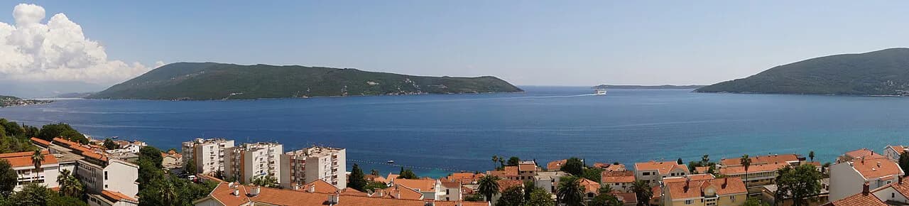
The town sits at the western entrance to the Bay of Kotor, at the foot of Mount Orjen, which is why the coastline on a phone screen bends so sharply and why the hillside streets climb away from the sea. Herceg Novi is the administrative centre of its municipality, with Igalo and other outlying communities lying beyond the old town rather than inside it.
How big the old town is on the map
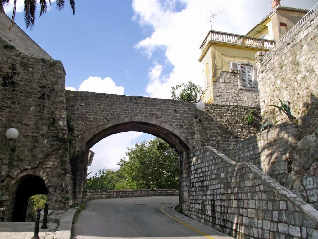
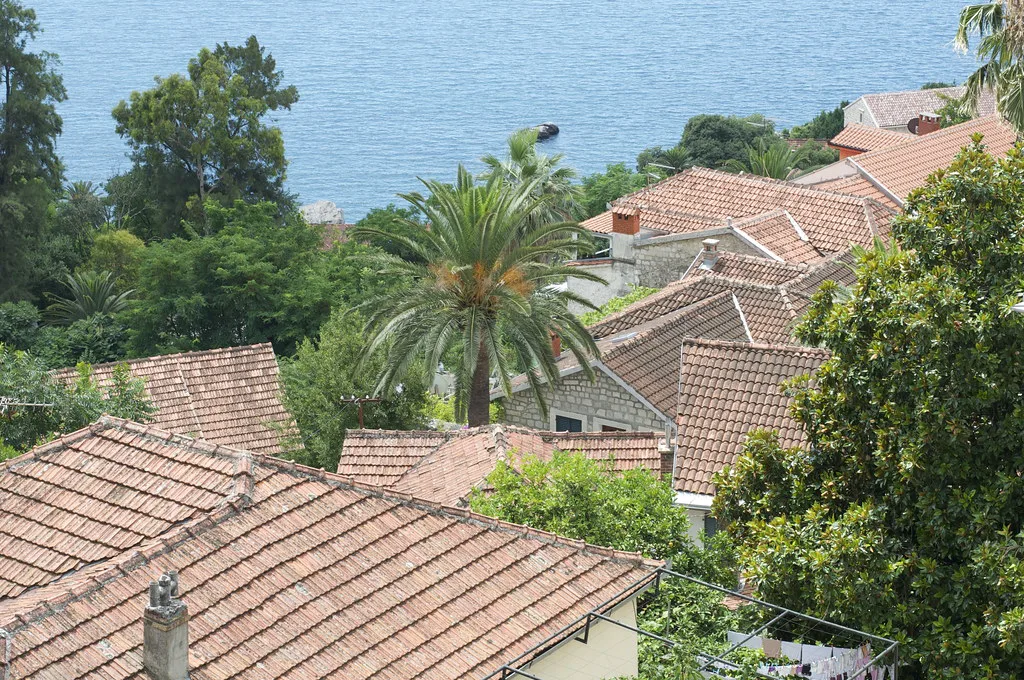
Wikivoyage puts the historic town at under ten minutes to walk across, and most of the attractions sit inside it. That figure is a crossing time, not a visiting time: add stops for the churches and squares, and remember the fortresses sit above the lanes rather than level with them.
Treat the old town as a single block on your map and plan the day around what lies at its edges, because that is where the climbing and the extra walking begin. A printed map at street level is useful here; a zoomed-out regional map is not.
The sights closest together
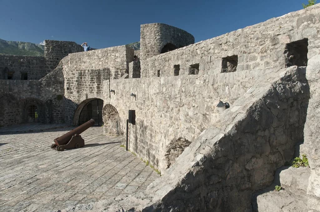
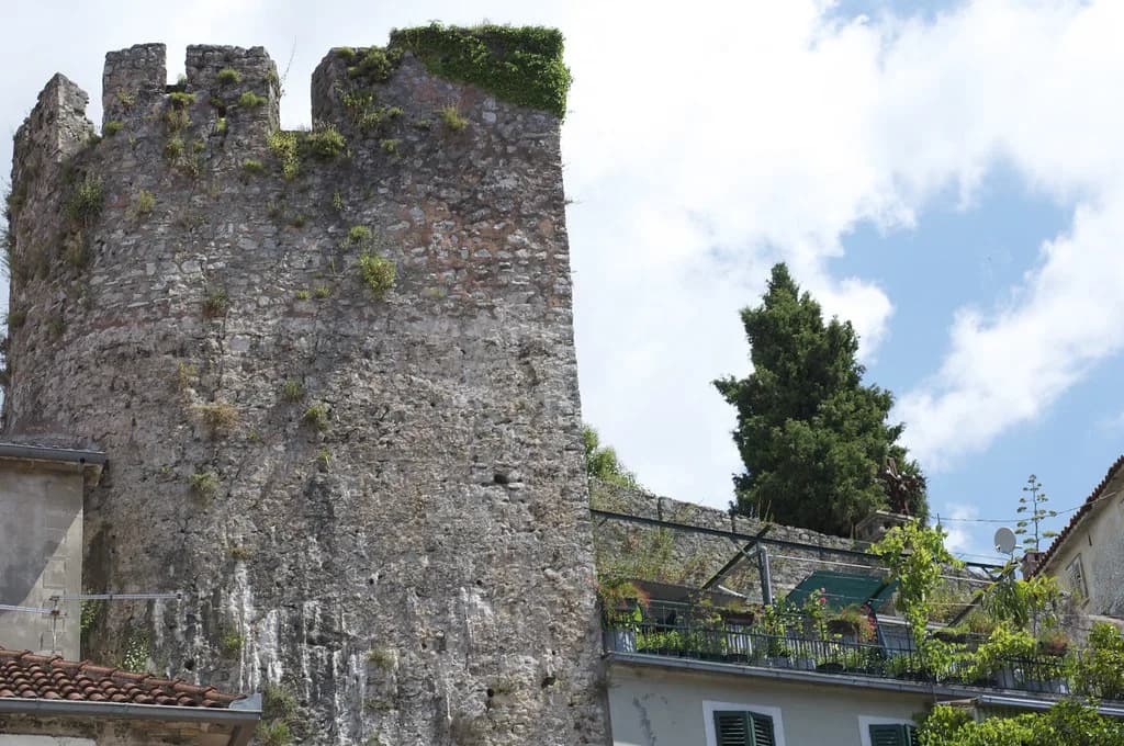
Kanli Kula, Forte Mare, Španjola fortress and the Citadela, also called Macel, form the defensive set, and they do not sit in a neat line. Forte Mare is the waterfront fortress, with views of the bay and town from the top and parts dating back to the medieval period, so it is the natural first stop from the harbour.
Kanli Kula, translated as the Bloody Tower, stands above the town and serves as a summer stage. Španjola dates to the sixteenth century and the Citadela runs along the coastline, so the group splits into an upper pair and a coastal pair.
Order them by effort rather than by fame: take the waterfront and Citadela on the flat, then climb once to Kanli Kula and Španjola rather than descending and re-ascending between them. Herceg Novi viewpoints rewards that kind of sequencing, since the best outlooks come from height and you want to reach them with legs still fresh.
Bellavista Square and the Church of Saint Michael Archangel
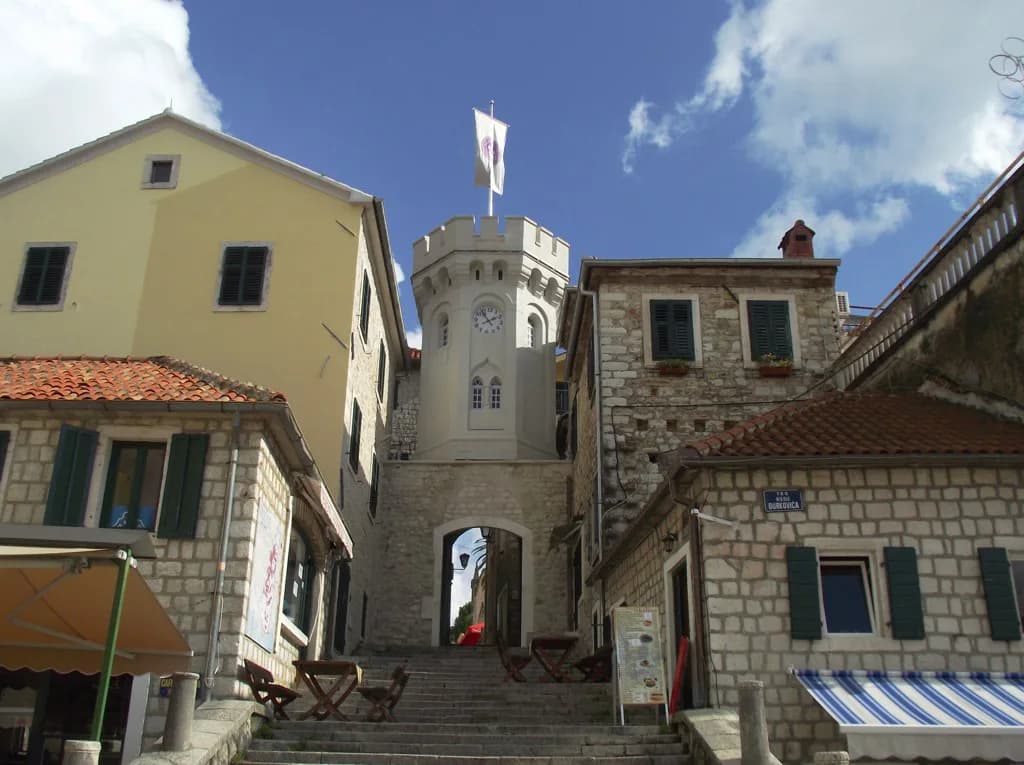
In the centre of the old town, Bellavista Square holds the Church of Saint Michael Archangel, a small Orthodox church that gives the square its focus. On a map this is your anchor point for the lanes: churches, squares and the clock tower sit within a couple of minutes of it, so use it to reset your bearings when the alleys confuse you.
The official municipal site publishes a city map, which is the version to trust for street names and the position of municipal buildings. Use it to confirm spelling before you search, since diacritics change results.
Savina Monastery on the eastern slopes
Savina Monastery sits just outside town on the eastern slopes, a complex of three hillside churches with coastal views, including the eighteenth-century Church of the Dormition built from pinkish stone. It is the one sight on this map that involves a genuine detour, so decide early whether you are walking out or taking transport and walking back.
Because it lies beyond the old town rather than inside it, the monastery does not fit neatly into a loop of the fortresses. Give it its own slot, either at the start of the day or after the waterfront, and allow for the climb on the return.
Orienting with the town's position
On a phone, Herceg Novi reads correctly once you fix two references: the bay to the south-west and Mount Orjen behind the town. The western entrance to the Bay of Kotor means the water lies on one side of the old town and the hillside rises on the other, so any route that keeps the sea on your left is heading towards Igalo.
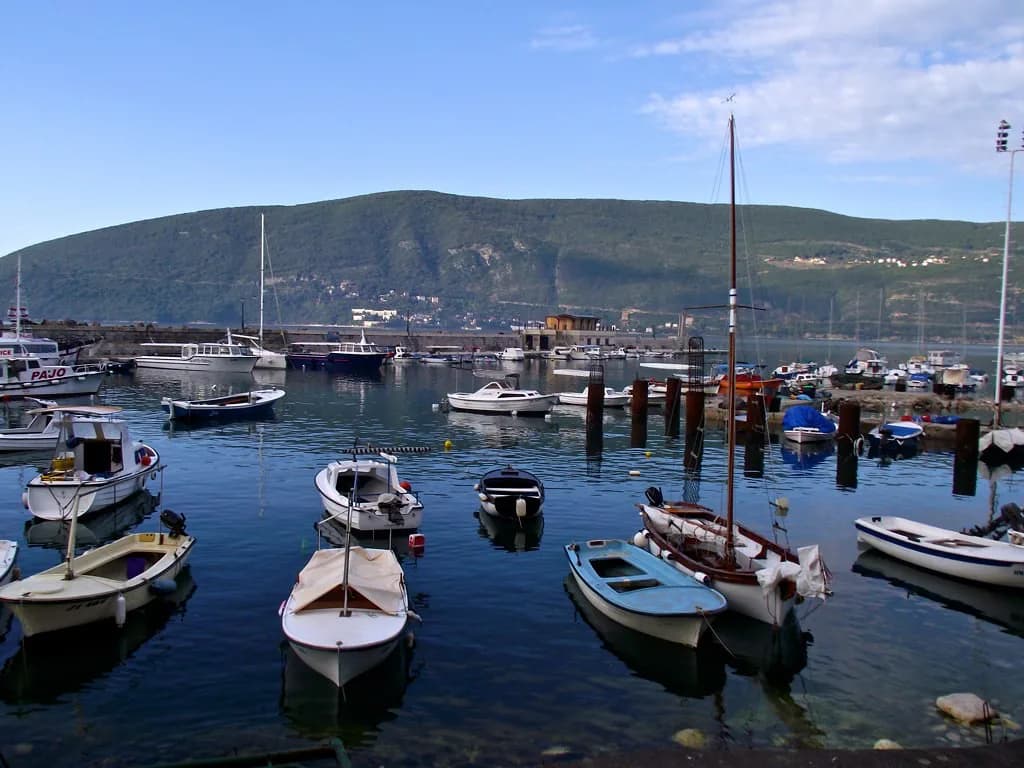
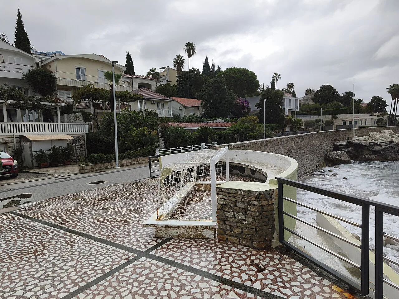
The Pet Danica Walkway follows the coast and connects the town with Igalo, which makes it the simplest line on the map to follow when you want a flat walk without navigation. A boat trip from the harbour gives you the same coastline from the water, and a different read on where the fortresses sit.
Apple Maps carries a listing for Herceg Novi with address and driving directions, which is handy for arrival by car but thin on the old town's lanes. Use it for the approach and switch to a walking map once you are through the gates.
If you are driving in, sort out Herceg Novi parking before you look at the sights, because the old town's streets are not built for circulating in a car.
Printable and offline maps to download
A printable vector PDF of the Herceg Novi area lets you set boundaries and page size and preview the layout before downloading, which suits a paper backup for a day on the slopes where signal drops. It shows the municipality as a whole rather than individual lanes, so pair it with a street-level map for the old town itself.
The Wikivoyage page carries a map of the town alongside its notes on the historic core, and it loads as a straightforward page rather than an app, which helps if you are working from a laptop before you travel. Save the pages you need to your phone's reader or notes app so they open without data.
Interactive map apps are better for live positioning but tend to bury the sights under restaurant pins. Filter to attractions before you start walking, and you will keep Kanli Kula and Savina visible instead of a list of cafés; save the best restaurants in Herceg Novi for after the walk rather than pinning them mid-route.
Questions to settle before you set out
Decide first whether Savina is in or out, because it changes the shape of the day more than any other choice. Then fix the order of the fortresses: Forte Mare and the Citadela suit a flat waterfront stretch, while Kanli Kula and Španjola ask for one climb.
Second, choose your map format. One printable regional sheet, one offline page of the old town and one live app covers most needs; carrying all three in your head is the mistake.
Which map to carry for Herceg Novi
Carry a street-level map of the old town on your phone and a printable regional sheet in your bag. The town is compact enough that the map's real job is ordering your climb, and knowing that Savina sits outside the old town on the eastern slopes is the single fact that stops a day going wrong.
If you want to build the day out further, browse shopping in Herceg Novi for the streets around the squares, and confirm any current opening times with the site or gate before you set off.
Explore more Herceg Novi guides
Sources
Notes for your Montenegro trip
Optional updates to our Montenegro town guides.
You might also like
Continue reading
More guides you'll find useful