Tivat Map: What's Where in Tivat for Visitors
What a Tivat map shows you: the town centre and promenade, Porto Montenegro, the Solila, Miholjska Prevlaka and how the parts of Tivat fit together.
On this page
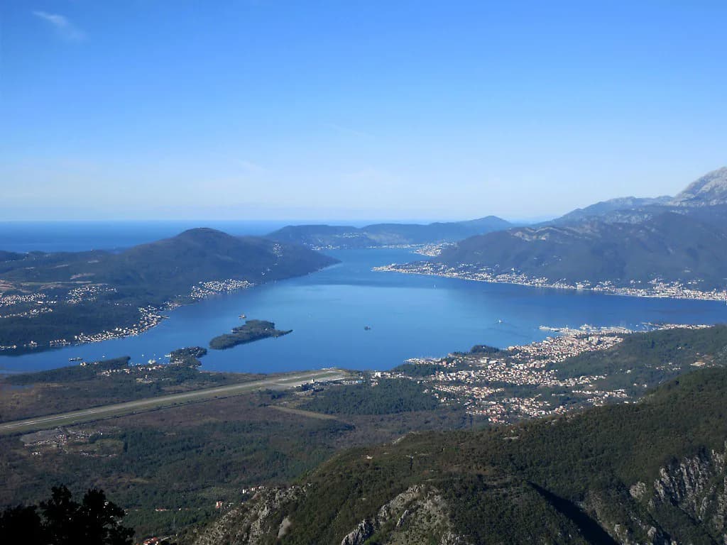
Tivat is a small Bay of Kotor town on flat ground below Mount Vrmac, and its map splits neatly into three parts: the town centre with its promenade, the marina zone around Porto Montenegro and Kalimanj, and a scatter of coast and hill villages that need a car or a boat. Almost everything in the centre is walkable, while the Solila, Gornja Lastva and the Lustica coast sit outside the town and change how you plan a day. This guide lays out what the official Tivat map covers, how the pieces relate to each other, and how to get the map onto your phone before you arrive.
Reading the Tivat map: centre, promenade and marinas
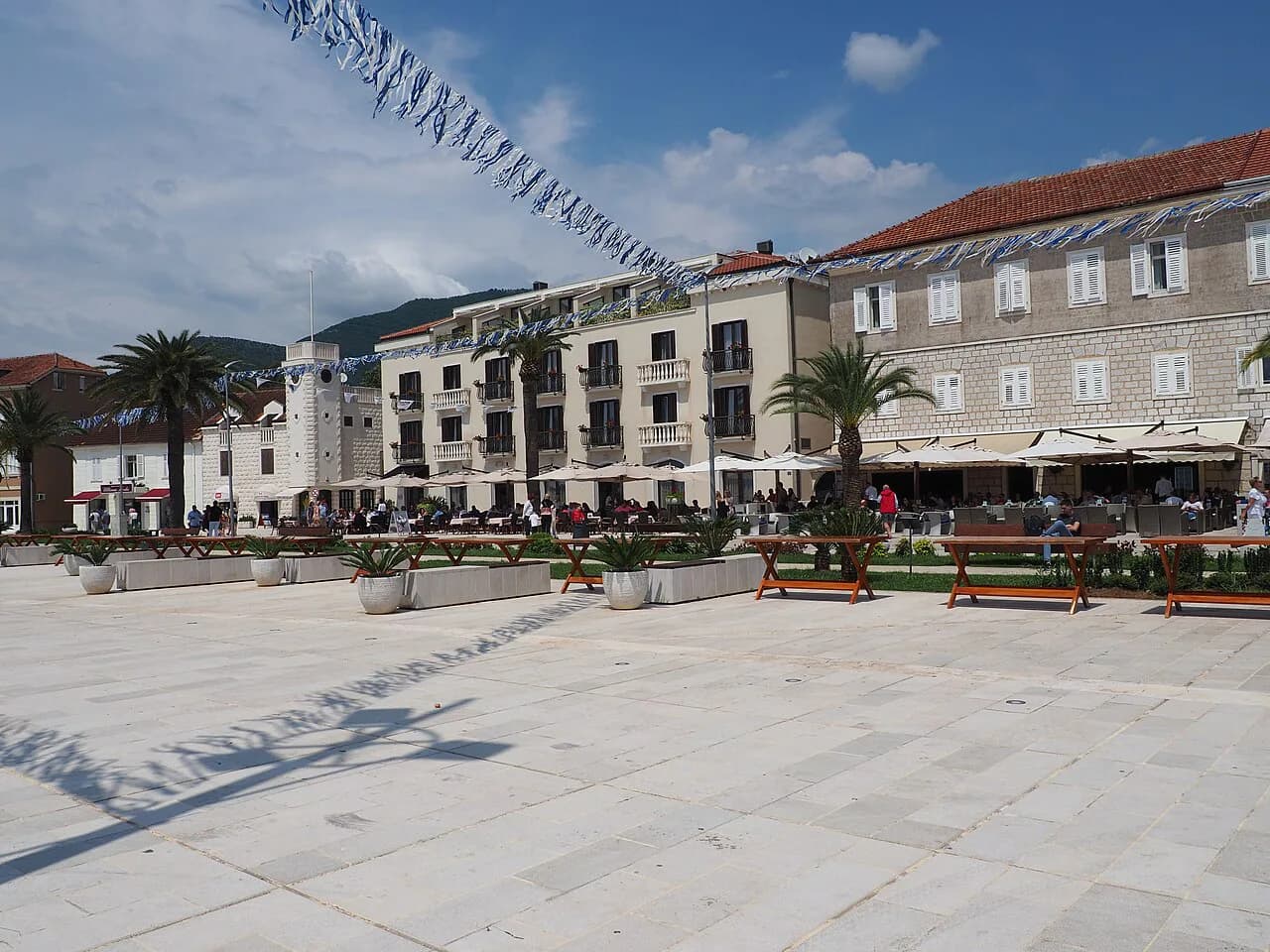
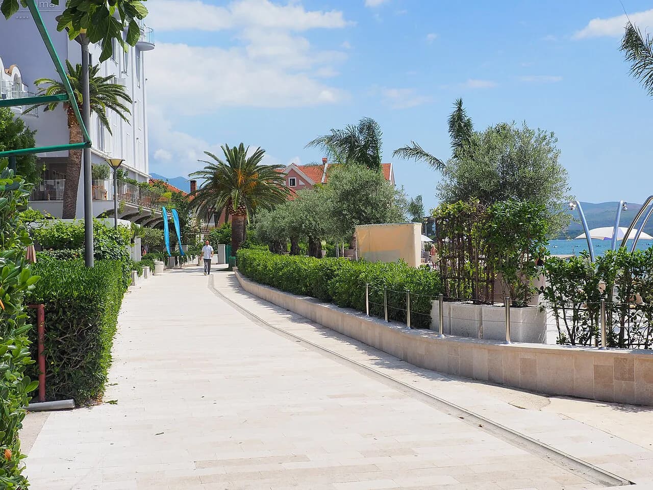
Start with the water. The town centre and the town promenade sit together on the bay, with the Tivat City Park and the marinas close by, so a single loop on foot takes in the core. The Tivat tourism organisation publishes a downloadable city map that marks landmarks, parks and the seafront in one place, which is the version worth saving rather than a generic road map.
The centre is compact and flat, so the practical question is not distance but which side of the marina you are on. Porto Montenegro and the Kalimanj marina both sit on the water within the town's spread, and the School ship Jadran is listed among the local attractions, so the waterfront is where most of your walking happens. If you want the sights arranged into a route, a Tivat walking tour is the simplest way to use the map.
For a quick sense of how the town's sights rank against each other before you plot them, our guide to things to do in Tivat groups them by area. The map and that list work together: the map tells you what is near what, and the list tells you what deserves the time.
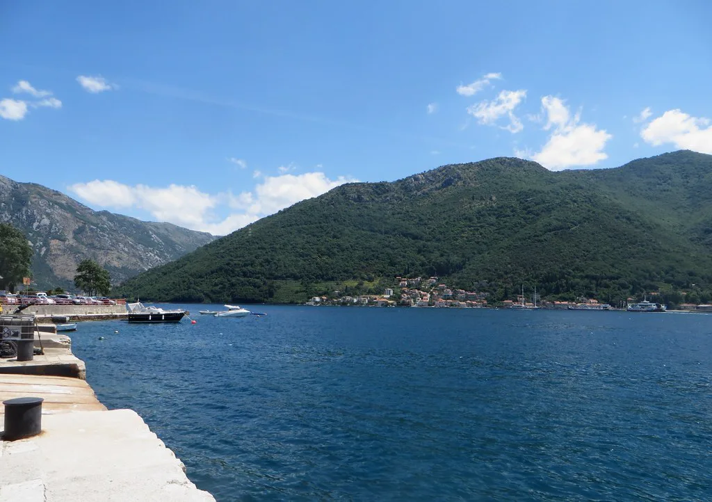
Porto Montenegro and Kalimanj: where the marina sits in relation to the centre
Porto Montenegro is a marina quarter on the Tivat waterfront, listed by the tourism organisation alongside Lustica Bay and Kalimanj as one of the town's marine bases. On a map it reads as part of the town rather than a separate trip, which is why it usually gets folded into a waterfront walk rather than a half-day outing.
Kalimanj sits on the same stretch of coast, so plotting both on the same map view saves you from treating them as two destinations. The distinction that matters for planning is between the marina zone and the older town streets; our Tivat old town page covers the latter, and the two are close enough to combine in one wander.
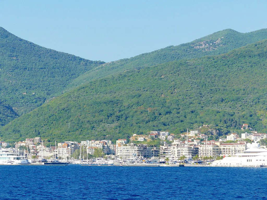
The Lotoš tourist map: what the tourism organisation publishes
The Tourist Organization of Tivat offers a Tivat tourist map that you can save to a phone or computer with a single download, and it marks landmarks, beaches, restaurants, parks and hotels together. That makes it the most useful single file for orientation, because it covers both the town and the places beyond it on one sheet. The same site also lists its local attractions by name, which is a good check on whether a pin you see elsewhere is current.
The municipality runs a separate mapping page with city maps and a 360 virtual tour, useful for seeing the town's layout before you arrive. Neither page promises a paper map at a specific desk, so download the digital version rather than counting on picking one up.
Keep the Lotoš Tourist application apart from the map: the tourism organisation describes it as a digital guest registration app for accommodation providers, so it is not the file to open when you want to find your way around town.
North-west of town: the Solila and Bjelila
The Solila and Bjelila appear on the tourism organisation's list of local attractions, both lying away from the town centre on the north-western side. They are the kind of place a town map marks with a single pin, which tells you where to head but not what you will find when you get there.
Because they sit outside the compact centre, treat them as a separate leg of the day rather than an add-on to a promenade stroll. The map is enough to place them relative to the town; detail on access is worth confirming locally before you set out.
South-west along the coast: Lustica Bay and the Panoramic road of Lustica
Lustica Bay is a second marina development on the coast south-west of Tivat, and the Panoramic road of Lustica is the drive that links the peninsula's scattered settlements. Both are named on the tourism organisation's attractions list, which is the reliable way to confirm you are looking at the right place on a map.
On a map these look close to town, but the peninsula's roads follow the coast rather than cutting across, so the drive takes longer than the distance suggests. Plan the Lustica coast as a half-day with a car, and keep the town centre for the hours either side.
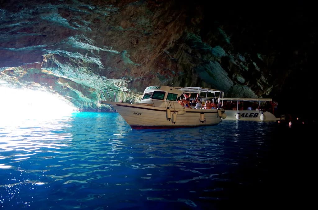
If you would rather not drive, the tourism organisation's tours listings and local operators are the place to check what runs along this coast. Boat services around the bay are seasonal, so confirm what is operating for your dates rather than assuming a daily departure.
Gornja Lastva, Buća Luković and Our Lady of Mercy
Gornja Lastva is a hill village above the coast, listed by the tourism organisation alongside the summer residence Buća Luković and the church of Gospa od Milosti, Our Lady of Mercy. On the map they sit inland and uphill from the waterfront, in contrast to the flat town centre.
For a village built on a slope, the climb is the point: the map pin marks the settlement, not a car park at the door. Our Gornja Lastva page sets out the village's church and lanes, and pairs naturally with Donja Lastva on the shore below if you are working along the coast.
Our Lady of Mercy and the Buća Luković residence are both town-adjacent sights rather than peninsula excursions, so they fit into a walking day. Plot them first, then see what is left of the afternoon before committing to the hills.
Offshore and out of town: Miholjska Prevlaka and Sveti Marko
Miholjska Prevlaka, the Flower island, is listed among Tivat's local attractions, immediately next to the entry for Sveti Marko island on the tourism organisation's list. A town map can show you where the pins fall against the coast, but it cannot tell you how or when you reach them.
Treat the island pins as orientation only and check access arrangements with the tourism organisation or a local operator before building a day around them. The same caution applies to any boat trip in the bay: services vary with the season, so confirm your dates.
Tivat airport and the town on the map
The municipality publishes its own coordinates for Tivat, 42.43°N 18.70°E, along with the municipal address at Trg magnolija 1, which helps if you are checking that a listing or app is pointing at the right spot. A tourist map is built for walking, so use those published details to sanity-check any pin before you trust it for a walk.
The town's coordinates and basic facts are also published by the municipality, which helps if you are checking that a listing or app is pointing at the right spot. Use those coordinates to sanity-check any pin before you trust it for a walk.
Getting the Tivat map onto your phone before you arrive
Download the tourism organisation's city map before you travel and keep it offline, since it covers the town and the surrounding attractions in one file. Save the municipality's 360 virtual tour too if you like to recognise a street before you walk it.
Once in town, use the map to group your day by side of the bay rather than by attraction: centre and marinas on foot, the Solila and Bjelila to the north-west, Lustica and the hill villages by car. That single decision keeps you from criss-crossing the town. If you want a ready-made shape for the day, a Tivat itinerary does the sequencing for you.
Which parts of Tivat need a car?
Walk the centre, the promenade and the marina zone, and take a car for the Solila, Bjelila, Gornja Lastva and the Lustica coast, where the roads follow the shore rather than the map's straight lines. Download the tourism organisation's city map first and use it to decide which side of the bay each stop falls on.
Explore more Tivat guides
Frequently Asked Questions
Does Tivat have an old town?
Tivat's centre is a compact waterfront town rather than a walled old town in the Kotor mould. The town promenade, the city park and the marina quarter around Porto Montenegro make up the walkable core, and the tourism organisation's city map marks them together so you can see how they connect.
How do I get a Tivat tourist map?
The Tourist Organization of Tivat publishes a city map that you can save to a phone or computer with one download, and it marks landmarks, beaches, restaurants, parks and hotels in one place. The municipality also hosts city maps and a 360 virtual tour for seeing the layout before you arrive.
Sources
Notes for your Montenegro trip
Optional updates to our Montenegro town guides.
You might also like
Continue reading
More guides you'll find useful