Ulcinj Map: Old Town, Sights and Landmarks for Visitors
An Ulcinj map for visitors: where the old town, Kalaja fortress, Sahat Kulla, mosques and museum sit, and how to read the layout before you walk.
On this page
An Ulcinj map is most useful for the one thing it makes obvious: the sights sit in two clusters. Kalaja e Ulqinit, Sahat Kulla, Muzeu i Ulqinit and the old mosques are packed into the walled headland, while the bus station stands away to the east on Boška Strugara. Pin both before you arrive and the town stops feeling scattered.
This guide reads the map the way a short-stay visitor needs it: which landmarks to plot, how the old town relates to the harbour and the newer streets, and what to carry offline. It sticks to what a map shows and leaves the rest to the town itself.
What an Ulcinj map shows you at a glance
Zoom out and the shape is clear. The old town occupies a headland on the sea side, the modern town spreads inland behind it, and the bus station sits further east again. That three-part picture is the single most useful thing to hold in your head.
Digital maps of the town let you measure distances between points, which is handy for judging whether a stop is on your way or a detour. Use that tool to test your plan rather than to chase exact timings.
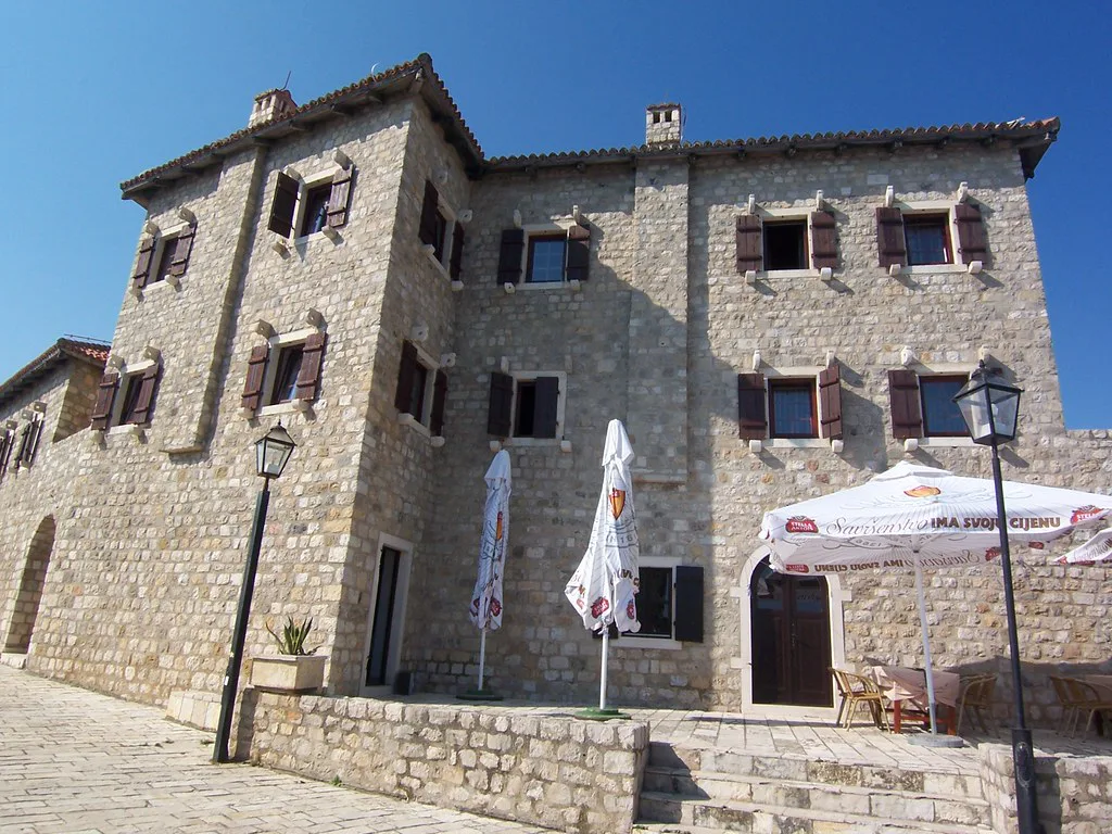
Orientation: old town, Kalaja e Ulqinit and the harbour
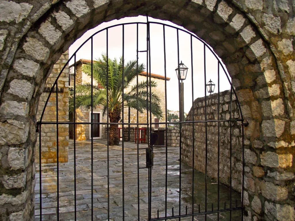
The fortress known as Kalaja e Ulqinit sits within the old town on the headland, recorded on the map at roughly 41.9224, 19.2015. Around it the lanes of Stari Grad carry the old-town addresses, including hotels and restaurants listed on Stari grad itself.
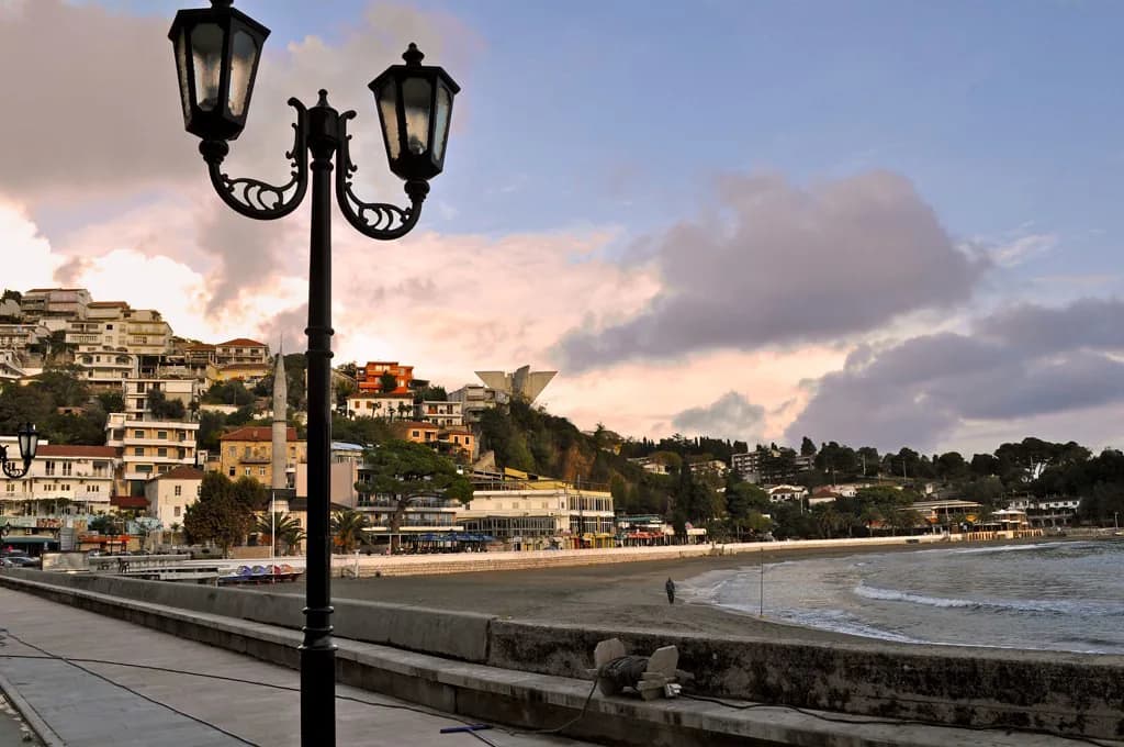
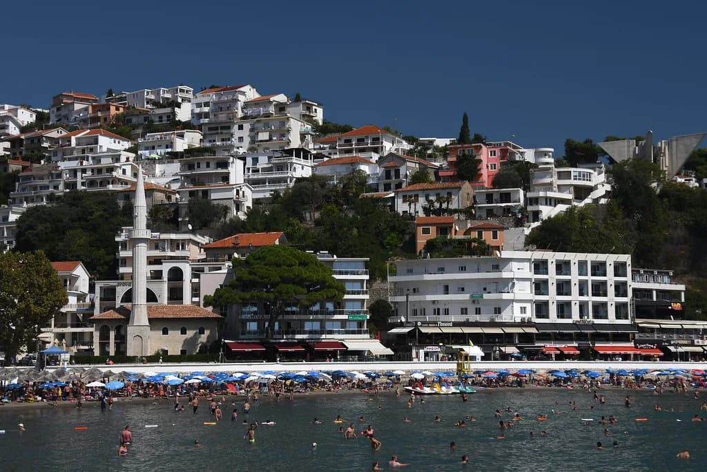
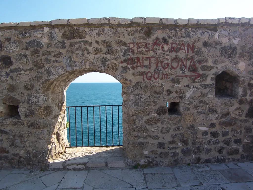
Toward the water, Mala plaža lies just east of the headland and the waterfront road, Rruga Detarë e Ulqinit, runs along the shore behind it. Treat the old town, the small beach and that waterfront as one walkable block when you sketch your route.
Landmarks to plot before you walk
Five pins cover most of a short visit. Kalaja e Ulqinit anchors the headland; Sahat Kulla, the clock tower, sits close by; Muzeu i Ulqinit is listed in the same old-town cluster. Add Xhamia e Kryepazarit and Xhamia e Namazgjahut, the two mosques the map places within a short distance of each other and of the centre.
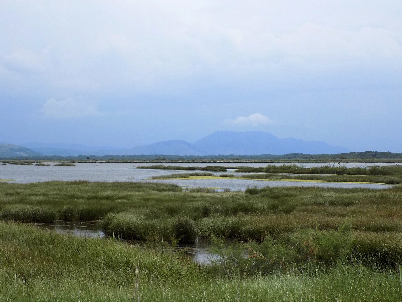
Other pins worth adding if your interests run that way include the town park, Parku i Qyetit, the cultural centre and the bus station. The Ulcinj Salt Pans appear on the map as a viewpoint further out, so check the distance before committing to it on a short stay.
Once those points are marked, the rest of the trip fills in around them; our guide to things to do in Ulcinj takes the same landmarks and turns them into a day.
Getting your bearings on arrival
Buses arrive at Autobuska stanica Ulcinj on Boška Strugara, listed at roughly 41.9314, 19.2220. That puts the station east of the old town and north-east of Mala plaža, so the first leg of your walk runs back toward the sea rather than along it.
From the station the town opens out along Bulevar Teuta, where supermarkets and other everyday stops are mapped. Use that boulevard as your spine when you orient yourself, then turn toward the old town once you have your bearings.
Old town lanes and the sea side
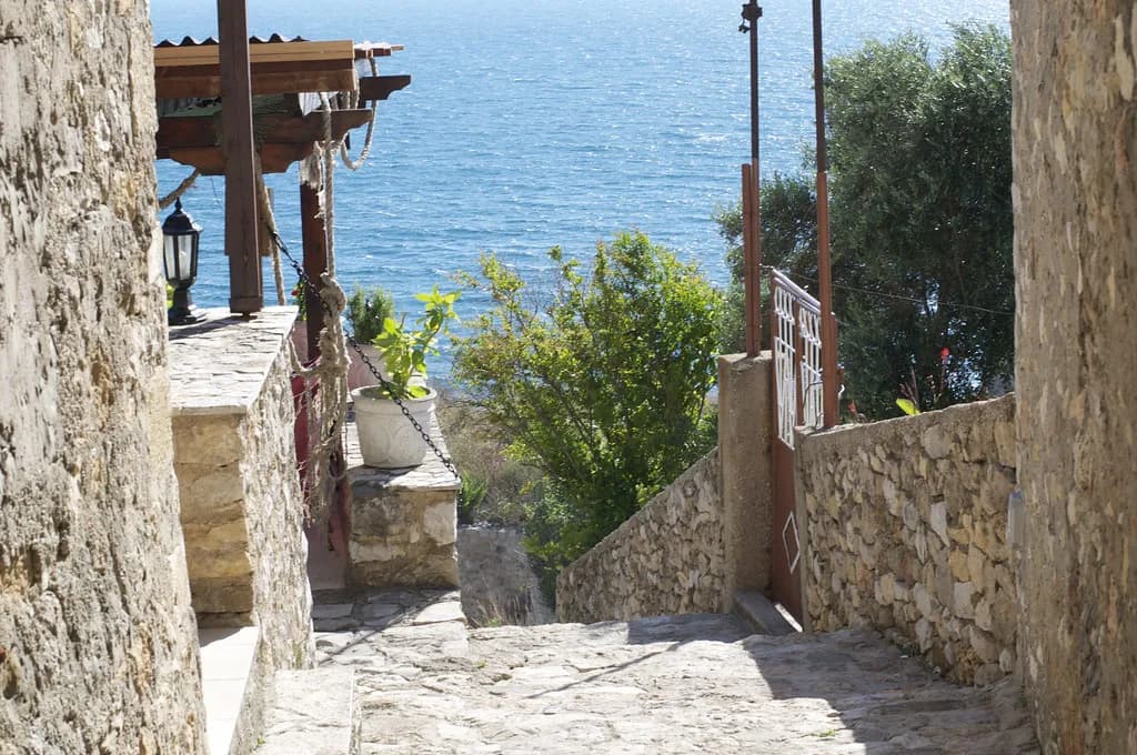
Inside Stari Grad the map shows a tight knot of addresses rather than through-roads, which tells you to plan loops rather than a straight line. Several restaurants and small hotels carry the Stari grad address, so pick your entry point and work outward from the fortress.
On the sea side, Rruga Detarë e Ulcinj runs behind Mala plaža and is where you pick up the waterfront. Businesses along it are mapped with their street address, which makes it a reliable reference line when the lanes behind confuse you.
If browsing the town's shops is part of your plan, our guide to shopping in Ulcinj covers where the mapped stops sit relative to this waterfront walk.
How long a map-led walk takes, and which stops cluster
The fortress, clock tower, museum and two mosques sit close enough together that one sweep covers them, with Mala plaža and the waterfront at the end of the same walk. The salt pans and the bus station are separate errands, so slot them into different parts of the day rather than trying to fold them in.
Short stays are the norm here. An illustrated map of the town was drawn for Hostel Breshka on the premise that most travellers passing between Albania and Montenegro stay only a day or two, which is a fair guide to how much to schedule.
Which map to carry
An offline phone map earns its place: it holds the street names, the bus station and the old-town addresses, and it keeps working when signal drops in the lanes. Download the town before you travel and mark your five pins in advance.
A printed or illustrated map is the better souvenir and the quicker thing to unfold over coffee, but the illustrated version made for Hostel Breshka dates from 2016 and was a commission rather than a shop product. Treat paper as a backup and your phone as the working copy.
What a map will not tell you
A map shows where Kalaja e Ulqinit and Muzeu i Ulqinit stand, but not when they open or what they charge. Settle those questions with the town's own published information before you set out, since a closed door on a one-day stop costs you the whole visit.
Addresses and business names on any digital map drift over time, especially small places on Stari grad and the waterfront. Cross-check anything you have booked against the confirmation you were sent rather than the pin alone.
Mark five pins, then walk
Plot Kalaja e Ulqinit, Sahat Kulla, Muzeu i Ulqinit and the two mosques, add the bus station on Boška Strugara, and you have an Ulcinj map that works for a day or two. Keep Mala plaža and the waterfront road, Rruga Detarë e Ulcinj, as the seaward edge of your loop and leave the salt pans for a trip with more slack.
Download the offline map before you travel, check opening details with the town's own information, and use the map to plan the lanes of Stari Grad rather than discovering the layout on foot.
Explore more Ulcinj guides
Frequently Asked Questions
What country is Ulcinj in?
Ulcinj is in Montenegro, on the coast near the border with Albania. On the map it sits on the sea side of the country, with the old town on a headland and the modern town and bus station behind it.
Can you show me a map of Montenegro?
Map services list Ulcinj within their Montenegro coverage, so searching for the town pulls up the country view first and the town streets second. Zoom in past the national outline to reach the old town, the harbour road and the bus station.
Should I rely on a printed map or my phone in Ulcinj?
Use your phone as the working map with the town downloaded offline, since digital maps list the street names and old-town addresses used in this guide. Carry paper as a backup for the moments when you want to spread something out, but check any printed version is recent before trusting its business listings.
Sources
Notes for your Montenegro trip
Optional updates to our Montenegro town guides.
You might also like
Continue reading
More guides you'll find useful