Bar Montenegro Map: Old Town, New Town and the Port
A Bar Montenegro map shows two towns: the coastal new town with its port and promenade, and Stari Bar about 4km inland. Here is how to read it.
On this page
A Bar Montenegro map divides into two distinct parts, and planning around that split is the single most useful thing you can do with it. New Bar runs along the coast, while the old town of Stari Bar sits approximately 4km inland behind its fortress wall. This guide to Bar, Montenegro shows what belongs on each half of the map, how to group the landmarks you want to see, and how to carry the map offline.
What a Bar map shows: two Bar towns, not one
Bar splits into the Old Town and the New Town, and the two sit in quite different places. The old town lies roughly 4km inland and reads like an open-air museum, with a maze of streets inside a fortress wall that is around 2,500 years old. The new town hugs the coastline below it, so a single pin on the harbour tells you nothing about the old streets up the hill.
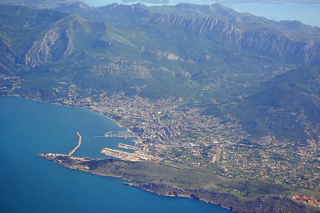
The geography is easy to hold in your head once you have the outline. Bar lies in the south of Montenegro between the Adriatic Sea and Lake Skadar, 55 km from Podgorica, and it is the country's largest port. That position explains the layout: working port and waterfront below, historic settlement above. Keep both names on your map and you will not head for the wrong half of town.
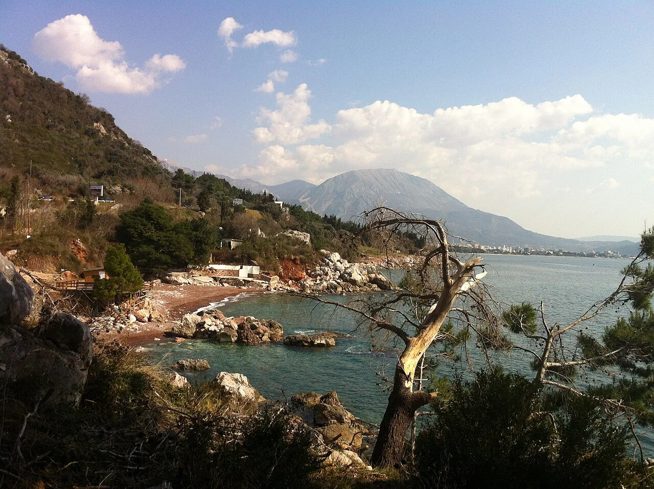
New Bar on the coast: the promenade, the ferry port and the railway station
On the coastal side, the 13 July Embankment, known as Šetalište 13. jul, is the spine of the new town and the easiest feature to find on any map. The city's most popular hotels cluster along the coastline and the shoreline behind it, mostly within 20 to 100 metres of the beach, which is useful when you are working out how far your base sits from the water. Pin the embankment first, then arrange everything else around it.
Bar is also a transport town, and the map should show you why. It handles a ferry across to Bari in Italy and is the final stop on the train from Belgrade, a route known for its scenery. Before you build a day around either, confirm the current sailing and departure times with the operator, since these change by season.
If you plan to move around by sea or along the coast, a base near the ferry port area keeps transfers short. That convenience comes at the cost of distance from the old town, which is a separate trip inland. Decide which half matters more before you pin your accommodation.
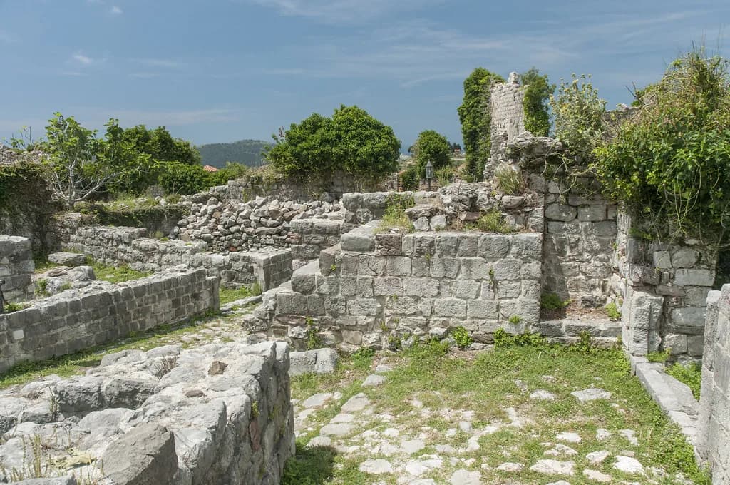
Stari Bar, roughly 4km inland: the fortress walls, gates and the streets inside
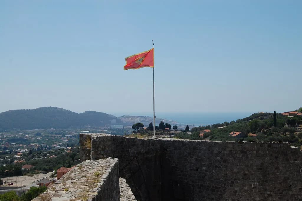
Stari Bar is the part of the map worth zooming in on. The walled town is a tangle of lanes enclosed by its fortifications, with ancient city gates marking the way in. Give it its own block of time rather than treating it as a stop on a coastal walk.
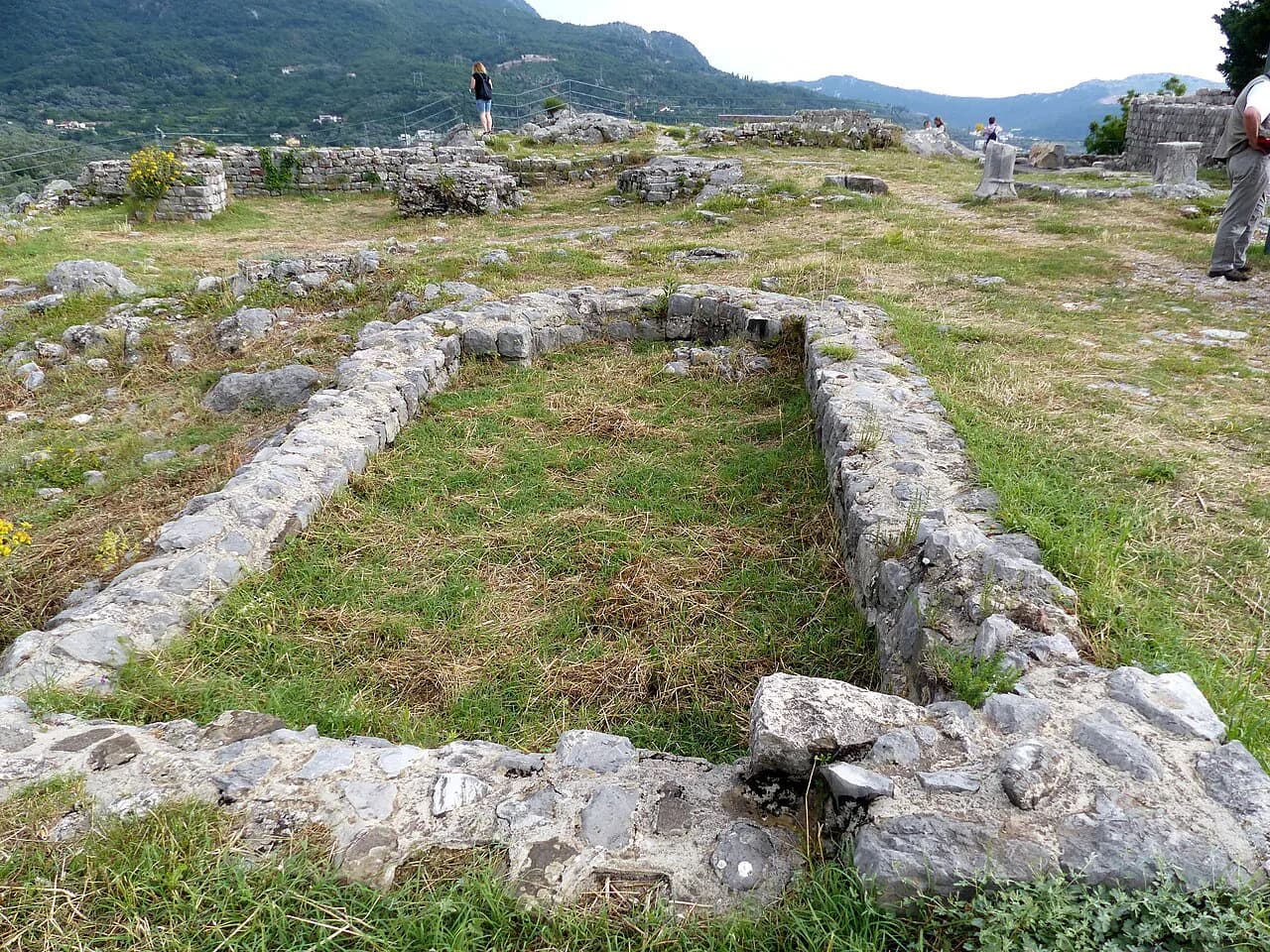
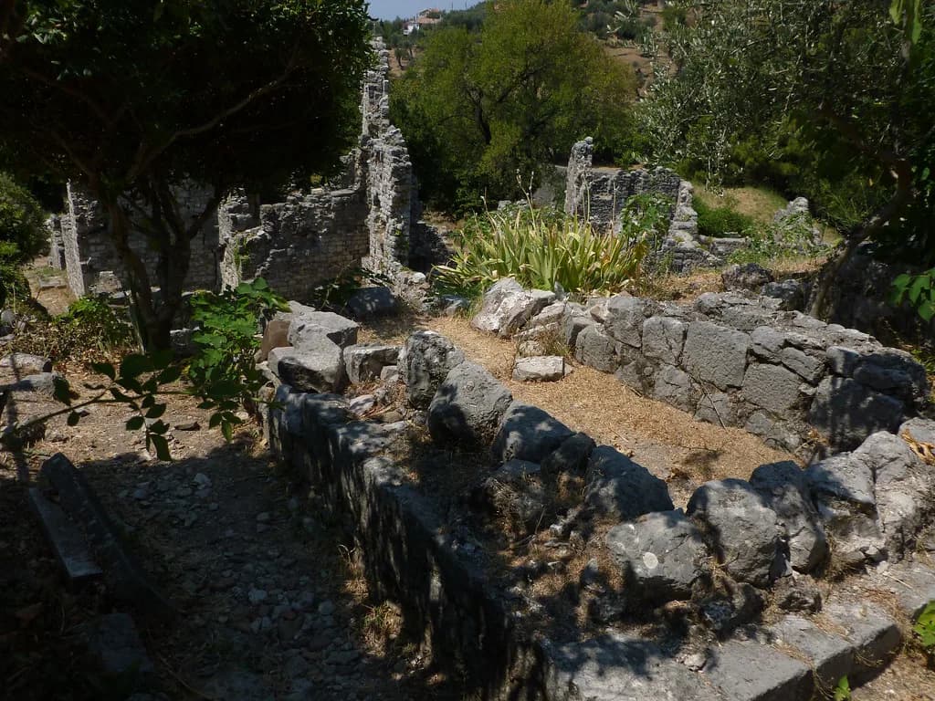
The architecture inside mixes Romanesque and Gothic work with typical Muslim elements, which is what makes walking the lanes worthwhile. Many of the historic landmarks marked on maps of the old town have come down to us in a state of disrepair, so expect ruins as part of the route rather than a fully restored streetscape. If the background interests you, the Stari Bar history is worth reading before you go.
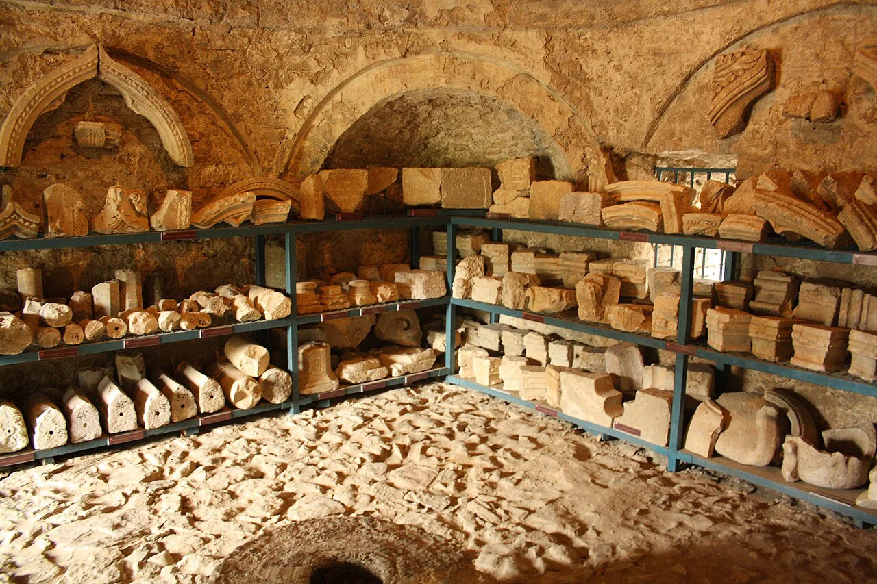
Where Stari Bar's landmarks sit: St George's Cathedral, the Ottoman baths and the aqueduct
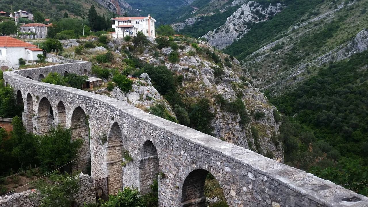
Inside and around the old town, the map marks St George's Cathedral, Ottoman baths and an aqueduct alongside the gates. These sit close enough together that you can group them into one walking circuit instead of crossing the hill twice. Sketch that loop on your map before you arrive and you will spend less time backtracking.
Guided walks of the old town cover the same ground with context you would otherwise miss, and they suit anyone who wants the site explained rather than simply seen. Compare what each operator includes before you commit, since routes and durations differ.
King Nikola's Palace and the olive tree: the sights that sit apart from both centres
Two of Bar's best-known stops fall outside both centres, which is exactly why they belong on the map as separate pins. King Nikola's Palace is one, and Stara Maslina, the old olive tree, is the other, described as possibly the oldest olive tree in the world. Treat each as its own short visit rather than assuming you will pass it on the way between the harbour and the old town.
Pairing them with a coastal stroll works better than chaining them to a Stari Bar day, because they pull the route in opposite directions. If you want the olive tree as a standalone stop, read up on the Old Olive Tree at Mirovica first so you know what you are looking at when you arrive.
Reading the map by purpose: port arrivals, a Stari Bar visit, or a coastal base
Start from how you arrive, because it changes which half of the map matters. Cruise passengers and ferry arrivals begin on the waterfront, where the distances to Stari Bar make a taxi or bus the sensible choice rather than a walk. Drivers should check where they can leave the car before heading up, and Bar Montenegro parking arrangements vary by area, so sort that out in advance.
If the old town is your priority, build the day around Stari Bar and let the coast fill the edges. If you want the water, the embankment and the port side, keep the old town as a half-day excursion uphill. Either way, add a note for food: the best restaurants in Bar Montenegro cluster in different spots depending on which half you are in.
A boat trip is the one outing that ignores the two-centre split entirely, since you start from the water. Check what a Bar Montenegro boat trip covers before you book, and keep the day flexible in case sea conditions affect the plan.
Downloading an offline Bar map before you travel
Montenegro sits outside the EU roaming area, so data you rely on at home may not follow you across the border. You can save a free interactive map in the Google Maps app: search for Bar Montenegro, type OK maps into the search Bar, then confirm the download. The whole process takes seconds and the map then works without a connection.
Repeat the download for each place you plan to visit and delete each one once you have finished with it, which keeps phone storage free. This matters most if you are driving yourself or finding accommodation on arrival. An offline map also covers the case where the signal drops between the coast and the inland hills.
Map mistakes to avoid: treating Stari Bar as walkable from the waterfront
The common error is assuming the old town is a short stroll from the seafront. At roughly 4km inland, Stari Bar is a separate journey from the new town, and the climb makes the difference obvious. Plot the route before you set out and decide on transport rather than discovering the distance on foot.
The second mistake is treating Bar as a single dot between the sea and Lake Skadar. Pinning the port, the embankment, the old town, the palace and the olive tree as five distinct points gives you a map you can actually plan with. Add a market stop if you want something local between sights, and check its days before you go.
Which half of Bar should you pin first?
Pin Stari Bar first if the walled town and its gates, cathedral, baths and aqueduct are why you came; pin the 13 July Embankment first if you want the coast, the port and the ferry within reach. Then add King Nikola's Palace and Stara Maslina as separate stops, and download the map before you cross the border. That order turns a general map of Bar into a plan for the day.
Explore more Bar guides
Sources
Notes for your Montenegro trip
Optional updates to our Montenegro town guides.
You might also like

Continue reading
More guides you'll find useful