Kolašin, Montenegro: A Practical Guide to the Mountain Town
Plan time in Kolašin, Montenegro: the town square and stone streets, the Belgrade–Bar railway, Biogradska Gora national park and how long the mountain town needs.
On this page
Kolašin needs half a day for the town itself: a small grid of stone-built streets around a central square, easy to walk in an hour or two, with the mountains as separate outings. The town sits at 954 metres on the banks of the Tara, between the Bjelasica and Sinjajevina ranges, and that setting is the reason most travellers stop here at all. This guide covers what is walkable in the centre, what to look for in the buildings, how the railway and motorway change the journey, and how the town fits a route between Podgorica and the northern mountains.
Where Kolašin is and what it is
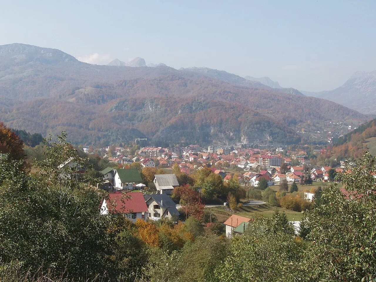
Kolašin lies on the Tara River at 954 metres above sea level, enclosed by the high ranges of Bjelasica and Sinjajevina. It began as a fortified Ottoman outpost founded around 1651–1652 to control caravan paths through the mountains, and it became part of Montenegro in 1878 after the Congress of Berlin. Those two dates explain the town's shape: an older military origin underneath a later, planned settlement laid out as a Montenegrin town.
Do not expect a walled old town. The centre is small and pedestrian-friendly, and the reason to walk it is the layout and the buildings rather than a checklist of monuments. Arriving by train or on the motorway from Podgorica, you reach the middle of town quickly, which makes Kolašin a practical stopping point rather than a place that consumes a whole day.
The town centre on foot
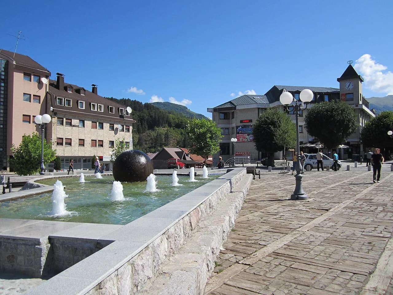
After 1878 the chaotic Ottoman-period development gave way to a clear plan: a central square with stone buildings rising around it and an orderly street grid. Walk the pedestrian zone around that square first, because it is the part of Kolašin that holds together as a coherent piece of townscape. From there, the side streets take very little time and give you the clearest sense of how small the historic core is.
Allow roughly an hour to ninety minutes for the square, the surrounding streets and a slow look at the facades, then add time for a coffee rather than expecting the town to fill an afternoon. If you are working out how the centre connects to the mountain sights beyond it, treat the walk as orientation before you commit to a car, taxi or tour.
What the architecture tells you
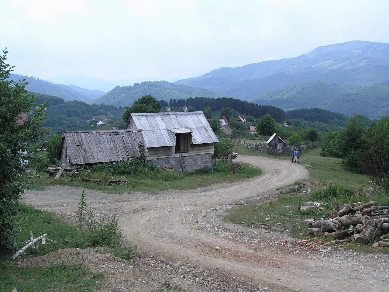
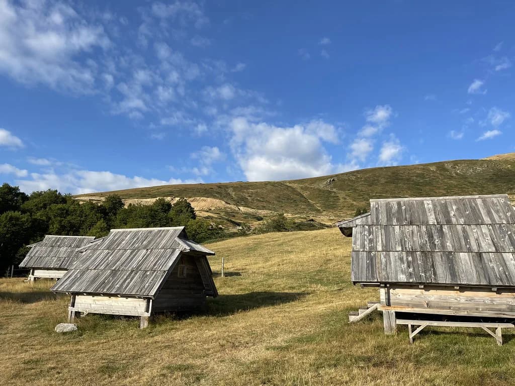
Look at the houses as you walk: the traditional mountain style here uses local stone for ground floors and timber for the upper levels, with steep pitched roofs covered in wooden shingles that stop snow accumulating. The stone administrative and public buildings put up in the late 19th century lean towards restrained European classicism, marking the town's new status after 1878. Later 1970s urbanisation added concrete, geometric public buildings that sit oddly but visibly against the mountain setting.
This is architecture to read on a short walk rather than a formal sight, so give yourself time to notice the change from shingled timber to stone to concrete as you move between streets. It also tells you what kind of place Kolašin is: a mountain town built for hard winters, not a coastal resort transplanted uphill.
How Kolašin connects to the rest of Montenegro
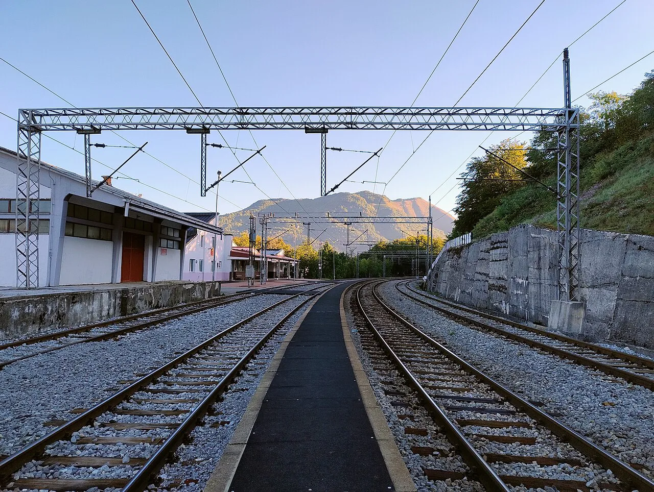
The Belgrade–Bar railway reached Kolašin in 1976, connecting the town with the coast and the capital and bringing the first steady flow of visitors. The Princess Xenia motorway then changed the road journey: its priority section opened in 2022 and cut the drive from Podgorica to under an hour. For a traveller, that means Kolašin is now realistic as a day stop from the capital as well as an overnight base between the coast and the northern mountains.
Which you choose is a real trade-off. The train gives you the mountain line and drops you in the town without a car, but it fixes your arrival and departure times; driving gives you flexibility for Biogradska Gora, Mojkovac and the slopes, at the cost of needing a vehicle. Check current timetables and motorway tolls with the operator before you build a day around either.
Biogradska Gora and Bjelasica above town
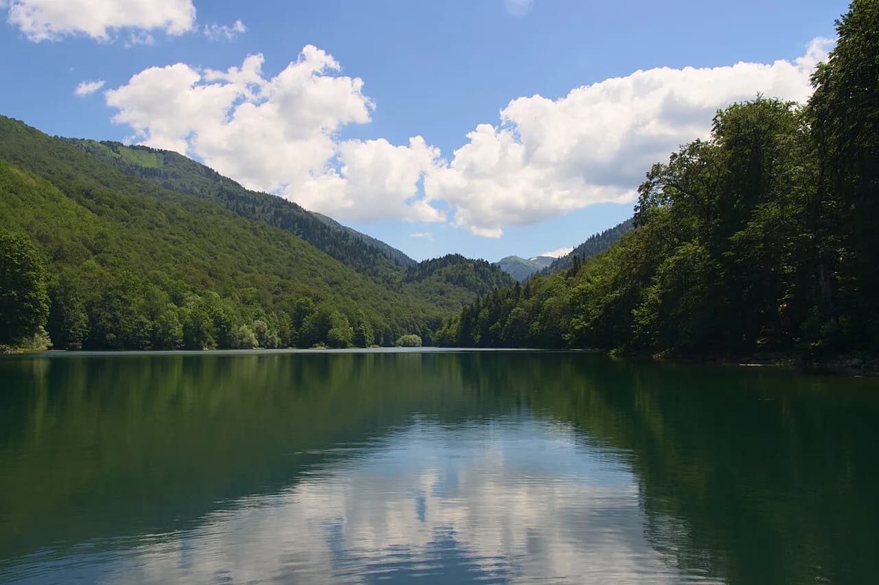
Biogradska Gora national park sits in the mountains near Kolašin, with the glacial Biogradsko lake at its centre, and it is the strongest reason to have a car or join an organised trip rather than staying in the streets. The lake and its surrounding woodland are a half-day outing in their own right, so plan it separately from the town walk instead of trying to fold both into one morning.
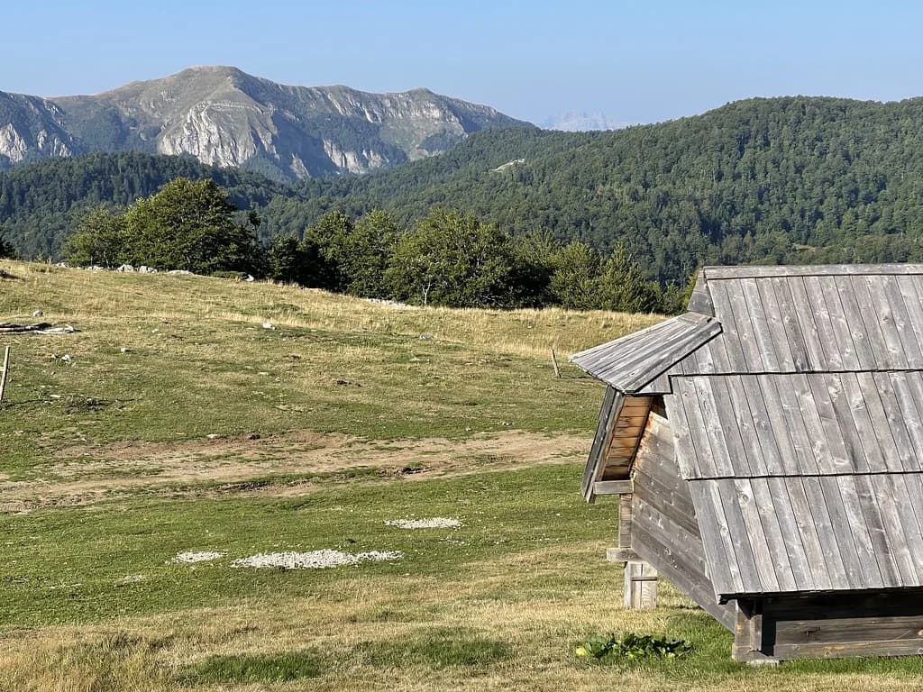
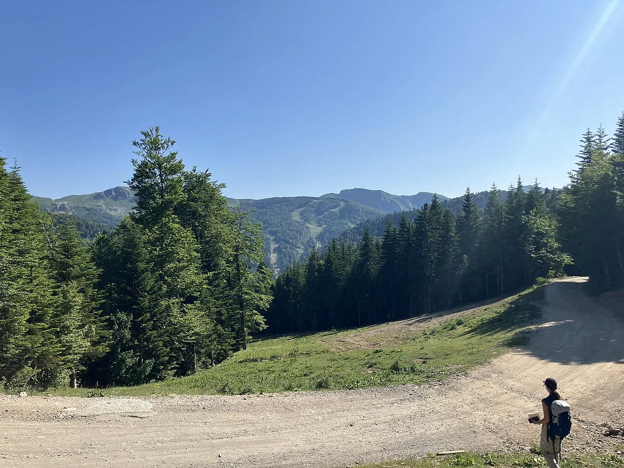
The Bjelasica slopes rise above the town and carry the ski centre and summer walking terrain, so this is where Kolašin becomes an outdoor base rather than a place to stroll. Transport up to trailheads and the gondola base should be arranged locally, so ask about shuttles, taxis or seasonal services rather than walking up on spec.
Kolašin 1600 outside winter
The state ski centre Kolašin 1600 opened in 2019 with modern cable cars on the Bjelasica slopes, and it is a fixed fact about the town rather than a reason to plan a ski trip from this page. Outside winter the same lifts and slopes give access to high ground and views, which is useful if you are in town in summer and want altitude without a long drive.
Whether the lifts run, and on what days, changes with the season, so confirm operating arrangements with the centre before you count on riding up. If they are closed, the town walk and a drive to the lake remain the reliable parts of a Kolašin day.
Getting to Kolašin
Two practical approaches work. The train on the Belgrade–Bar line puts you in the town itself, which suits a car-free stop between the coast and the mountains, while the motorway from Podgorica makes the drive short enough for a day trip or an easy transfer onward. Both are documented as transport changes that reshaped the town, not as timetables you can rely on from a guide.
Confirm departure times, fares and whether your stop is served on the day you travel with the railway operator, and check current tolls and route options for the motorway before setting out. If you are continuing north or east, Bijelo Polje and Pljevlja sit on the same inland corridor and are worth plotting on the same map.
How long to give Kolašin
Budget half a day for Kolašin itself: the square, the surrounding grid and the building styles fill a morning or an afternoon comfortably. Add a separate half day or full day for Biogradska Gora and its lake, and another for the Bjelasica slopes if the lifts are running or you have arranged transport.
The honest positioning is that Kolašin works best as a stop of one or two nights on a route between Podgorica and the northern mountains, not as a destination that justifies a long detour on its own. If your time is tight, the town centre plus one mountain outing is a sensible shape; if you have longer, the surrounding villages and parkland reward the extra day.
Should Kolašin be a stop or a base?
Treat Kolašin as a stop with one mountain outing attached unless you have a car and two nights to spare. The town centre rewards an hour or two on foot, the railway and motorway make it easy to reach from Podgorica, and Biogradska Gora is the outing that justifies the journey beyond the square.
Book transport first, then decide how much mountain time you can fit around it. Confirm train times, motorway tolls and whether the Kolašin 1600 lifts are running before you commit a full day to the slopes.
Explore more Kolašin guides
Sources
Notes for your Montenegro trip
Optional updates to our Montenegro town guides.
You might also like
Continue reading
More guides you'll find useful