Bjelasica, Montenegro: The Mountain Above Kolašin and Biogradska Gora
Bjelasica is the mountain range near Kolašin inside Biogradska Gora national park, with Crna Glava as its highest point. Here is what sits on it.
On this page
Bjelasica is a mountain range near Kolašin in northern Montenegro, sitting inside Biogradska Gora national park, and its highest point is Crna Glava. This guide sets out what the range is, which parts of it visitors actually reach, and how Kolašin works as the base for seeing it.
The name causes most of the confusion: Bjelasica is the mountain, Biogradska Gora is the protected area wrapped around part of it, and Biogradsko Jezero is the lake inside that park. Keep the three separate and the map, the bus you take and the walk you plan all fall into place.
What Bjelasica is and where it sits
Bjelasica is a mountain range in northern Montenegro, inside Biogradska Gora national park near Kolašin. It is the landform; the park is the protection status laid over part of it.
That distinction matters when you plan: a walk in the national park is not automatically a walk on the whole range, and reaching Bjelasica's remoter ground is a different undertaking from visiting the lake that most people mean.
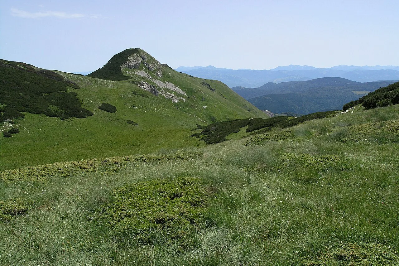
Crna Glava, the highest point
The highest point of the range is Crna Glava, which translates as Black Head. It is the one summit figure the sources state plainly, so treat any other peak numbers you see quoted elsewhere with caution.
For orientation, Crna Glava is a reference point, not a target you should assume is a straightforward outing. The range's scale is what makes it useful to know where the top is before you read a map.
Lakes and forests: the character of the range
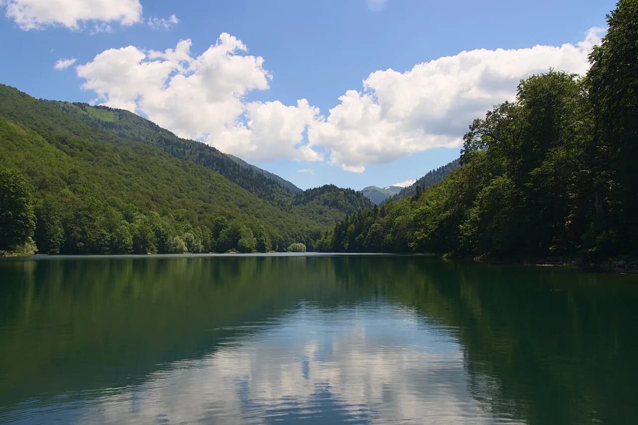
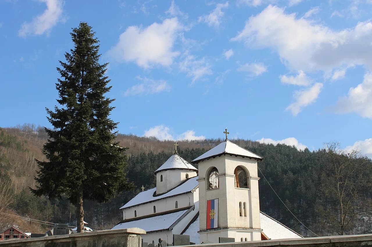
The range is defined by glacial lakes and forest, with the wooded ground around Biogradska Gora national park and the water at Biograd Lake giving the mountain its gentlest face.
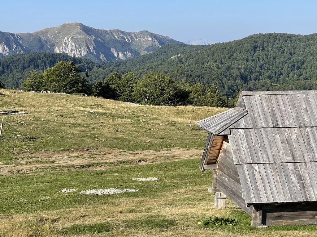
The Bjelasica Trail describes its courses as running through UNESCO-protected landscapes, past glacial lakes, forest and mountain meadows, which gives a fair picture of what the terrain holds. Bear in mind that this is the organiser's marketing copy rather than a walker's route description.
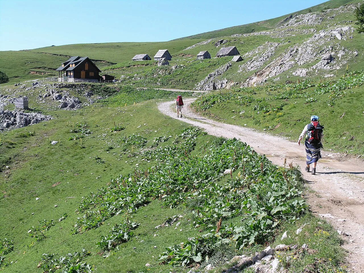
Biogradsko Jezero and Biogradska Gora: what visitors reach first
Most visitors meet Bjelasica through Biogradska Gora national park and its lake, Biogradsko Lake in Biogradska Gora National Park, rather than by climbing the range. The lake is the first and simplest contact point.
Biogradsko Jezero sits inside the park boundary, and the surrounding forest is part of what defines the range's character. Plan on the park being the accessible face of Bjelasica and the higher ground being somewhere you go deliberately.
Kolašin as the base on the range's edge
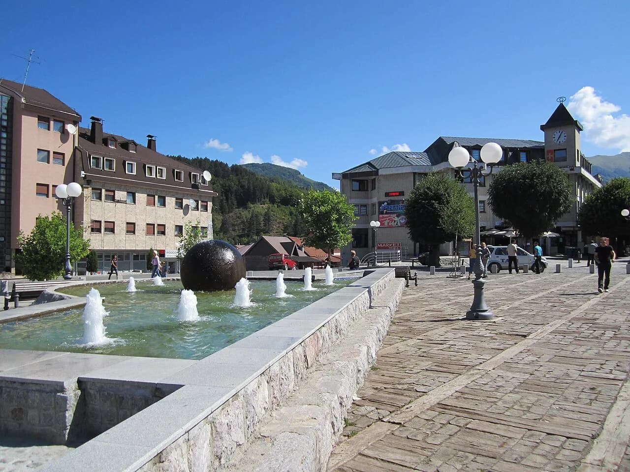
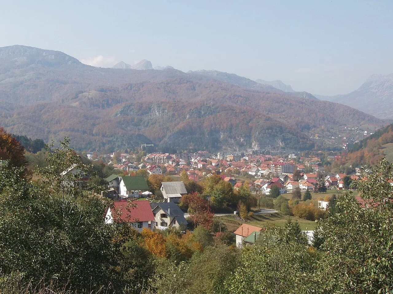
Kolašin is the practical base on the edge of the range, and it is where the Bjelasica Trail started and finished its races, at Trg Boraca. The town gives you the road connections that make the mountain reachable without a car of your own.
If you want to understand how the town is laid out and how to reach the mountain from it, the town guide is the place to start before you plan the mountain itself. Then read the range as the thing above the town rather than as a destination in its own right.
Summer and winter on the same slopes
Summer use means walking, lakes and the wooded park, reached from Kolašin. Winter use is ski-focused: the Bjelasica 1450 development describes a four-star hotel on the slopes of the Kolašin 1450 ski resort at 1,450 metres above sea level, in the developer's own promotional terms.
Treat that material as what it is: a sales page for property units on the mountain, not a visitor guide. The 60km of ski trail it mentions is the developer's own figure, and lift hours, pass prices and winter opening dates are things to confirm with the operator before you travel.
The decision is straightforward. In summer you are choosing between a lake-and-forest day from Kolašin and something more committed on the range. In winter the same slopes belong to skiers, and lower ground is the sensible default.
The 2026 race as a way to read the mountain
The Bjelasica Trail was held on 8 and 9 August 2026 in Kolašin, with four courses: a 60K Red Trail starting at 5am on 8 August with a 70.00 EUR entry fee, a 40K Green Trail at 7am on 8 August for 55.00 EUR, a 23K Blue Trail at 7am on 8 August for 35.00 EUR, and a 12K Orange Trail at 9am on 9 August for 25.00 EUR. All started at Trg Boraca in Kolašin.
Those figures belong to the 2026 edition. They are useful as a picture of distance, ascent and start times on the mountain, not as a statement about walking access, lift operation or park entry at any time of year, and any later edition will publish its own fees and dates on the race site.
Getting your bearings with a map before you go
Before you travel, find the range, the park boundary and Crna Glava on a topographic map, and mark Kolašin as your start point. That single exercise shows how the lake, the forest and the higher summit sit relative to one another and to the town.
The names are the easy part on a map; the harder part is realising that the park is one part of a much larger mountain range. Do not treat the boundary line as the edge of the mountain.
Where Bjelasica fits into a wider itinerary
Bjelasica sits in the mountains between the coast and the Durmitor area, and Kolašin is the town that makes it practical. On a Bay of Kotor trip it is a mountain day taken inland from the coast.
Coming from Durmitor, treat it as a separate mountain stop rather than a variation on the same day. The road south from Mojkovac is the natural approach, and Mojkovac sits close to Biogradska Gora National Park on that line.
Is Bjelasica worth a stop between the coast and Durmitor?
Yes, if you want a mountain stop built around lakes, forest and a town where you can actually sleep and eat. No, if you expect a single viewpoint or a ticket gate; the range is landform, not an attraction.
Base yourself in Kolašin, plan the park and the lake as your first day, and give the higher ground its own separate slot. Check the park and the resort directly for dates, fees and lift details before you book.
Explore more Kolašin guides
Frequently Asked Questions
How high is Bjelasica?
Crna Glava is the highest point of the range, but the organiser's published material does not give an elevation figure for it. If you need the height for planning, read it off a topographic map or the national park's own material. The mountain's height is a separate question from the lake and the park.
Sources
Notes for your Montenegro trip
Optional updates to our Montenegro town guides.
You might also like
Continue reading
More guides you'll find useful