Šavnik, Montenegro: The Mountain Town Between Žabljak and Nikšić
Šavnik sits below the Durmitor massif on the road between Žabljak and Nikšić. Here is what to see in town and how it fits a Durmitor road trip.
On this page
Šavnik is a small mountain town in northern Montenegro, below the Durmitor massif and on the road that links Žabljak with Nikšić. Treat it as a short roadside stop or a quieter base rather than a sight in its own right: the town centre takes little time, and the canyon and mountain country around it is reached by car. This guide covers where the town sits, how the roads work, what to see in the centre and which excursions people come here for.
The local tourist organisation describes Šavnik as a town at the foot of the Durmitor massif, spread over the slopes of five mountains and set where three rivers meet. It also presents the area as an alternative to the busier mountain routes, with village households and marked trails listed as part of what is on offer. The town is the seat of Opština Šavnik, the municipality that carries its name.
Plan Šavnik around a car. The town sits on a through road with limited services of its own, so most visitors combine a wander through the centre with one excursion into the surrounding country and then continue to Žabljak or back towards Nikšić. The sections below separate what you can do on foot in town from what needs a vehicle and, in the case of the canyon, a guided trip.
Where Šavnik sits in the mountains
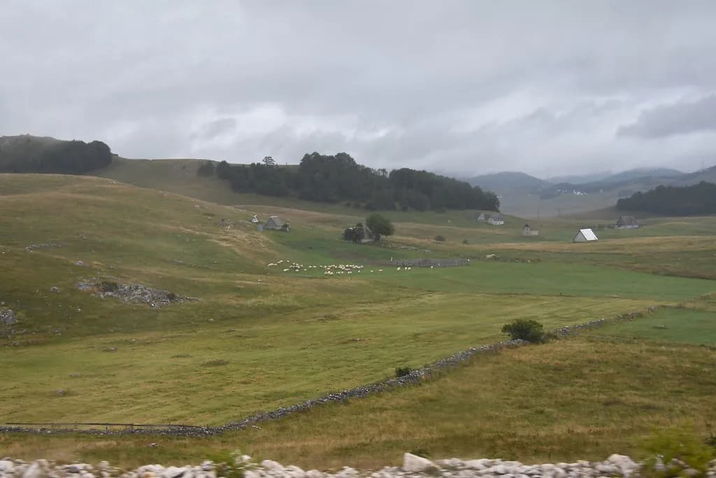
Šavnik lies in the north of Montenegro, within the municipality of Šavnik, on the road corridor between Žabljak and Nikšić. The tourist organisation places the town below the Durmitor massif and describes it as sitting on the slopes of five mountains, with three rivers meeting at the town. That setting explains the layout: a compact centre with water running through it, and mountain slopes rising on all sides.
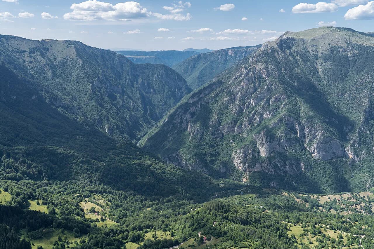
The surrounding country is what most people come for. The tourist organisation lists mountains, lakes, waterfalls and the Nevidio canyon among the area's natural features, and points to routes that lead from Šavnik towards the best-known parts of Durmitor, including Bobotov Kuk. If your plan centres on the national park rather than the town, read the wider Durmitor National Park guide first and use Šavnik as one point on that map.
Administratively the town is straightforward: Opština Šavnik runs local services, and its site carries contact details and public notices. That is useful if you need to confirm something official while planning, though it is not a visitor information service in the tourist sense.
Getting to Šavnik by road
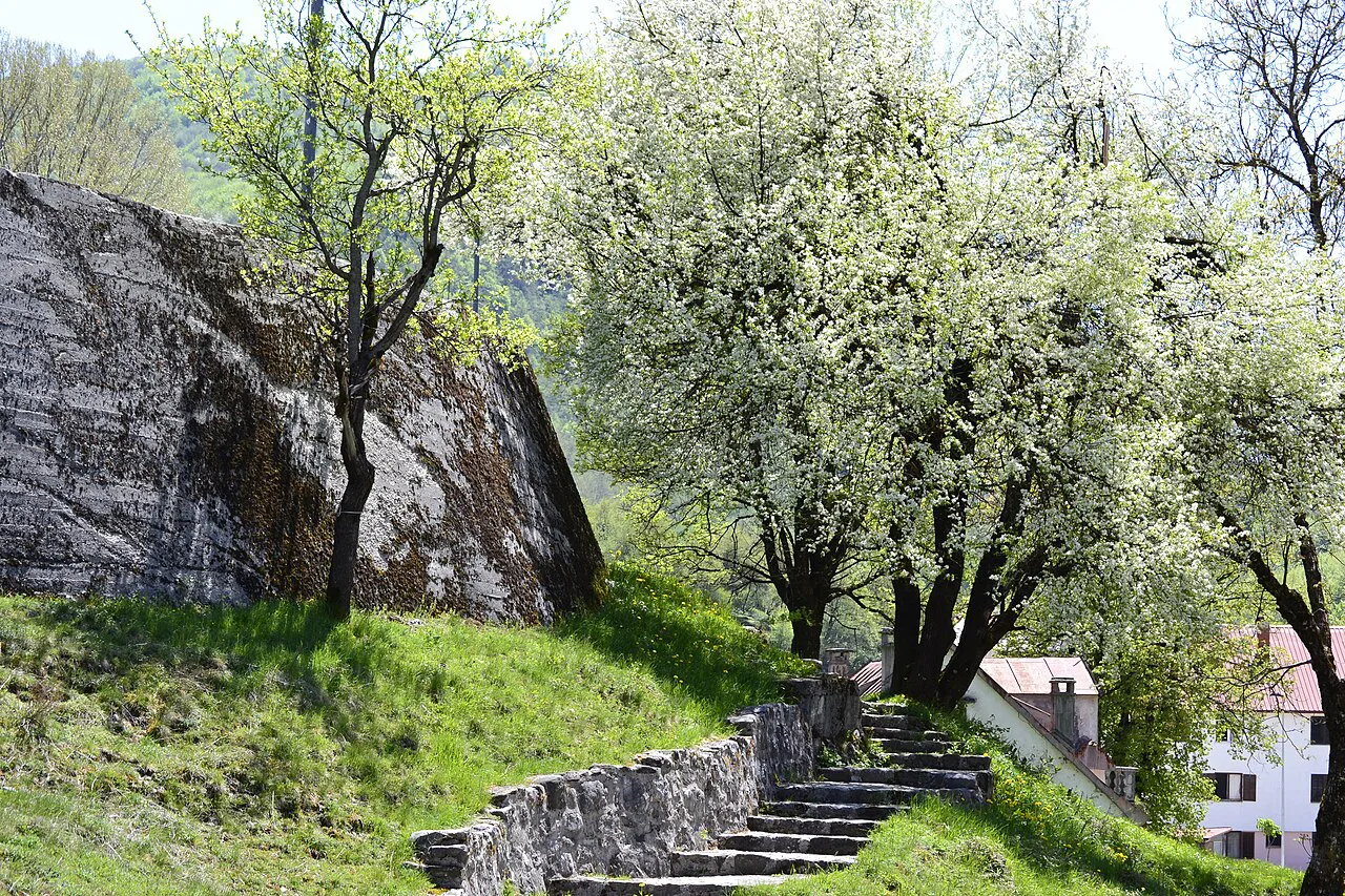
Šavnik is a road destination, reached by car from two directions: from Žabljak to the north-west and from Nikšić to the south-east. The tourist organisation runs a practical section on how to reach the area, which is the place to check the signposted approach roads before you set out. Neither town is far by distance on the map, but these are mountain roads, so allow more time than the kilometres suggest.
From Žabljak, Šavnik makes a natural half-day loop: drive down, spend time in the town, and take in one excursion before returning over the same road or continuing towards Nikšić. If you are based in Žabljak, read Žabljak: A Practical Guide to Montenegro's Mountain Town for the layout of the centre and the practicalities of the surrounding area.
The road junctions around Šavnik are also where routes into Durmitor and towards the Nevidio canyon branch off. The tourist organisation publishes a tourist map and a town map, and those are the documents to have loaded or printed before you leave, because mobile coverage in the folds of the mountains is not something to rely on.
The town itself: rivers, bridges and the centre
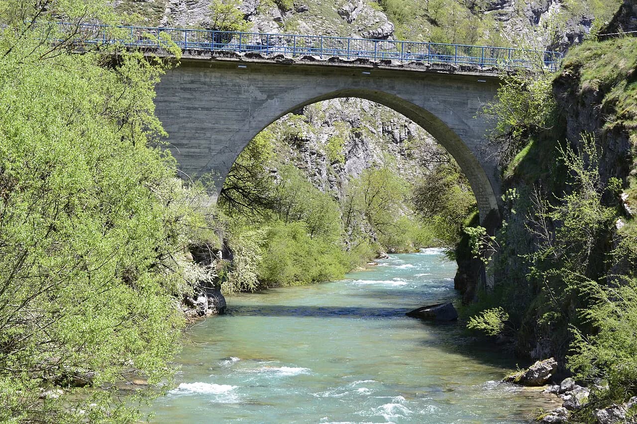
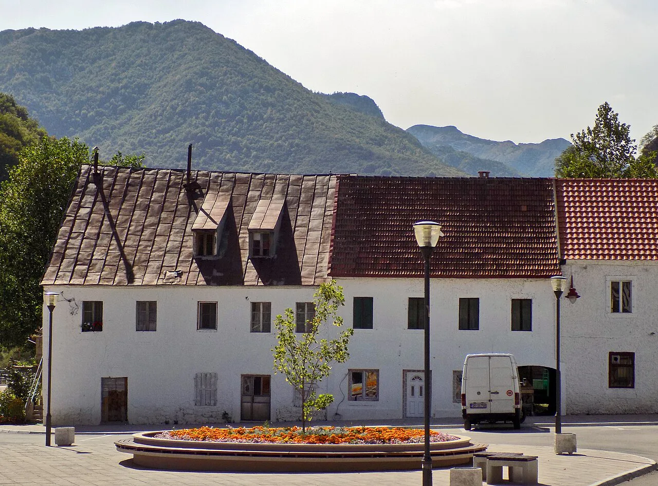
The centre of Šavnik is small and quick to walk. The rivers that meet here, the bridges over them and the compact streets around the municipal buildings make up most of what there is to see on foot, and the tourist organisation's town map is the simplest way to orient yourself. Set aside an hour or so rather than a morning.
The tourist organisation also lists cultural and historical monuments, religious buildings and legends among the things to look at in and around the town. These are modest, local sights rather than set-piece attractions, and they work best as part of a slow wander rather than as a checklist. If you want a fuller day of organised sights, Žabljak has more of them, which is why many travellers treat Šavnik as a stop on the way.
Nevidio canyon
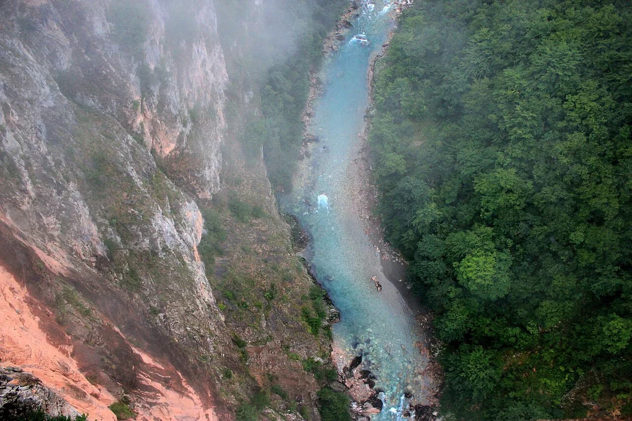
The Nevidio canyon is the excursion most associated with Šavnik, and the tourist organisation presents it as one of Montenegro's striking natural features, reached from this side of the mountains. It is a canyon rather than a viewpoint or a stroll, so plan it as an activity rather than a roadside photo stop.
Because it is an activity, the practical questions are about who takes you in and when it runs. The tourist organisation lists activities in the Šavnik area, and that is the place to check what is operating before you commit a day to the canyon. Equipment, guiding arrangements and conditions change with the season, so confirm them directly with the operator you book through rather than assuming a walk-up entry.
If your group would rather book a guided day from a larger base, the Žabljak tours page is the better starting point, since operators there cover Durmitor and its surroundings. Read it alongside the Šavnik activity listings and compare what each actually includes.
Villages and rural stays around Šavnik
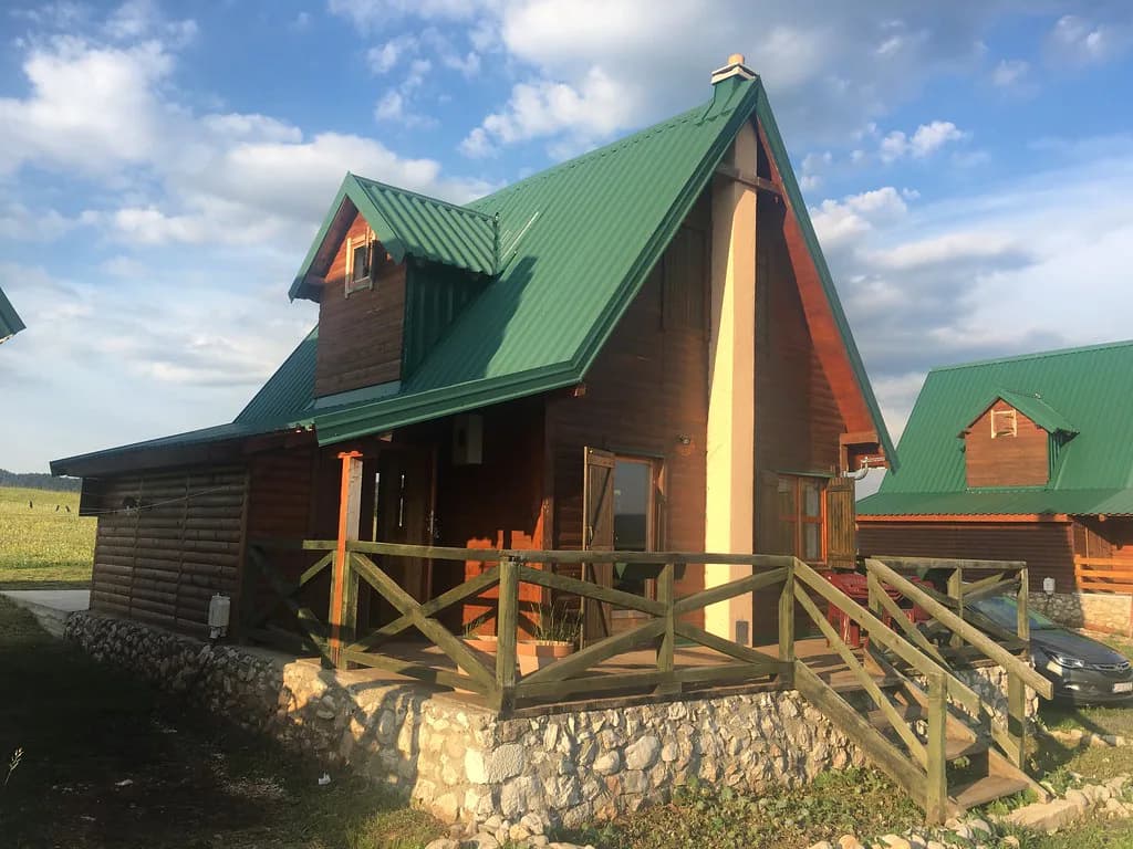
The municipality is rural, and the tourist organisation gives village households, known locally as seoska domaćinstva, their own place on its site. These are rural homes that take guests and serve local food, and they are the alternative to a town base if you want the mountains on the doorstep. The listings are grouped by village, so you can match a household to the part of the municipality you want to explore.
A stay or a meal in one of these households is a different proposition from a town visit: expect to arrange it in advance, to need your own transport to get there, and to eat what the household cooks rather than ordering from a menu. The tourist organisation's restaurant and village sections are the place to start, and a phone call or email before you travel is the sensible way to confirm availability.
Mountains, lakes and waterfalls nearby
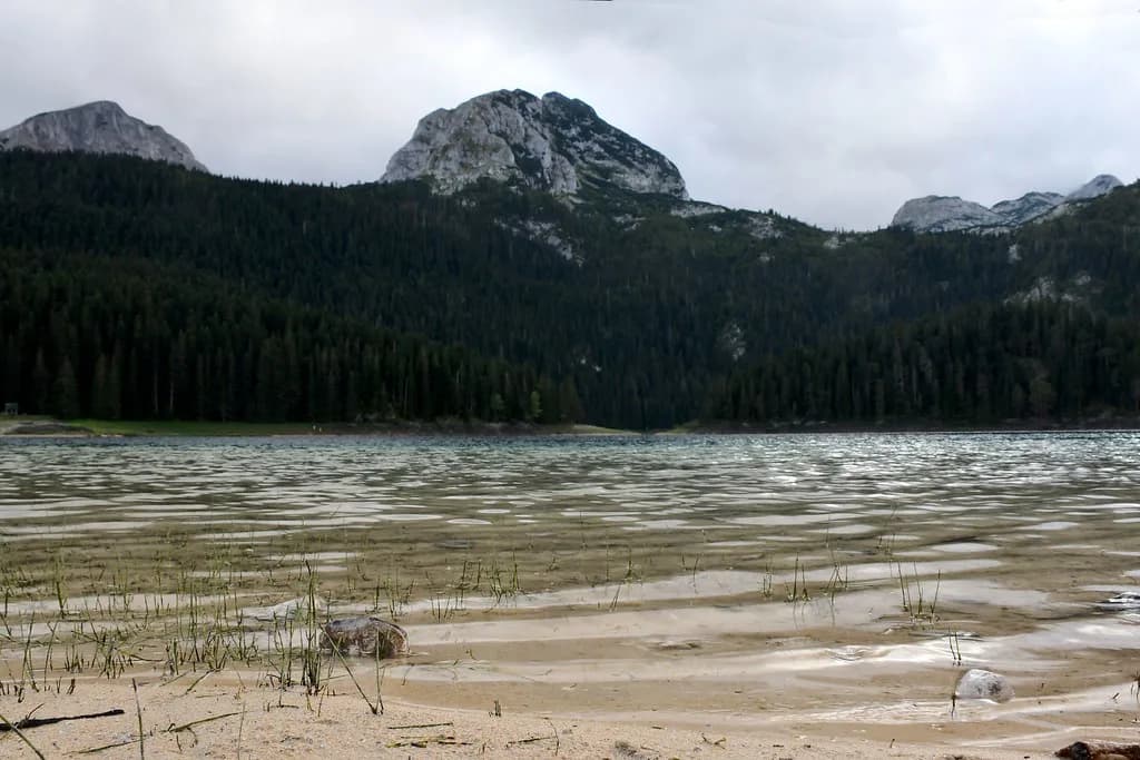
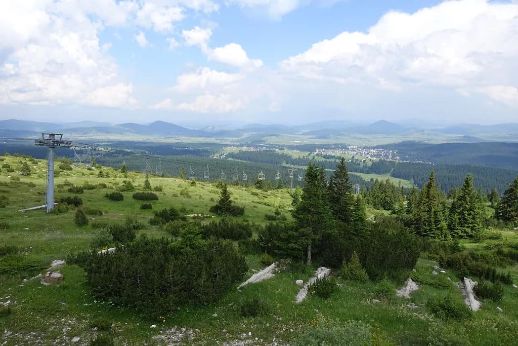
Around Šavnik the tourist organisation lists mountains, lakes and waterfalls, plus more than twenty mountain and walking trails, including routes towards Bobotov Kuk in the Durmitor massif. That gives you options in several directions from the town, and the trails are the reason some travellers use Šavnik as a base rather than a stop. Treat the published trail list as an index of what exists and check conditions locally before setting off.
On the Durmitor side, the national park holds the better-known set pieces. The Black Lake (Crno jezero) near Žabljak is the easiest of them to reach and works well as a half-day from a Žabljak base rather than from Šavnik. If you are planning a week in the mountains, read the Black Lake guide and the Durmitor map together so you can see which days suit which side of the massif.
Šavnik's tourist maps
The tourist organisation publishes a tourist map of the area and a map of the town, both linked from its homepage. The town map is the useful one for the centre: it shows you where the rivers, bridges and municipal buildings sit relative to each other. The wider tourist map is what you want for the villages, the canyon and the routes towards Durmitor.
Open both before you leave your base and save them offline. The municipality's own site is the place for official contacts and public notices, while the tourist organisation's site carries the town and tourist maps.
Šavnik or Žabljak as a base
The trade-off is straightforward. Šavnik has a quieter centre and fewer travellers, and the tourist organisation markets it on exactly that basis: an alternative to the commercial mountain routes. Žabljak has the larger concentration of services and sits closer to the national park's main sights. Choose Šavnik if you want a low-key base with the villages around it; choose Žabljak if you want the Black Lake and the park's better-known points within easy reach.
Whichever you pick, the two towns are close enough by road that you can stay in one and visit the other. Many travellers base themselves in Žabljak and drive through Šavnik on the way to or from Nikšić, which keeps the mountain roads to daylight hours and leaves the evening free.
Should Šavnik be a stop or a base?
Make Šavnik a stop unless you specifically want a quiet mountain base with village households and the Nevidio canyon on your side of the mountains. For a stop, drive in from Žabljak, walk the small centre, check the tourist organisation's activity listings for the canyon and continue.
For a base, plan around the car, book a village household ahead, and keep the town maps saved. Give the rest of your mountain time to the national park and its better-known sights, and use the town as the calm end of the day.
Explore more Žabljak guides
Frequently Asked Questions
How far is Šavnik from Žabljak?
The two towns are linked by a mountain road, and Šavnik lies on the route between Žabljak and Nikšić. Distances on the map understate the drive because of the terrain, so plan the trip around daylight rather than a fixed number of minutes. Check the approach roads on the Šavnik tourist organisation's website before setting out.
Do you need a car to visit Šavnik?
A car is the practical way to reach and explore Šavnik. The town sits on a through road between Žabljak and Nikšić, and the villages, canyon and mountain routes around it are spread across the surrounding slopes. If you plan to go beyond the centre, arrange your own vehicle.
Can you visit the Nevidio canyon independently?
Treat the canyon as an organised activity rather than a walk-up sight. The Šavnik tourist organisation lists activities in the area, and that is where to check what is operating and how to arrange it. Confirm equipment, guiding and conditions directly with the operator before you commit a day.
Sources
Notes for your Montenegro trip
Optional updates to our Montenegro town guides.
You might also like
Continue reading
More guides you'll find useful