Durmitor Map: Žabljak, the Black Lake and the Durmitor Ring
A Durmitor map guide: where Žabljak sits, how the Black Lake and the Durmitor Ring fit together, the park entry fee and how long the circuit takes.
On this page
Every useful Durmitor map is built around three things: Žabljak as the base, the Black Lake within walking distance of it, and the 76 km Durmitor Ring that loops the mountain massif. Get those straight and the rest of the park, from the Sušica canyon to Piva Lake, slots into place around them. This guide covers where each element sits, how the ring is signed, what the two halves of the circuit feel like to drive and what the rangers collect at the entrance points.
What a Durmitor map actually covers
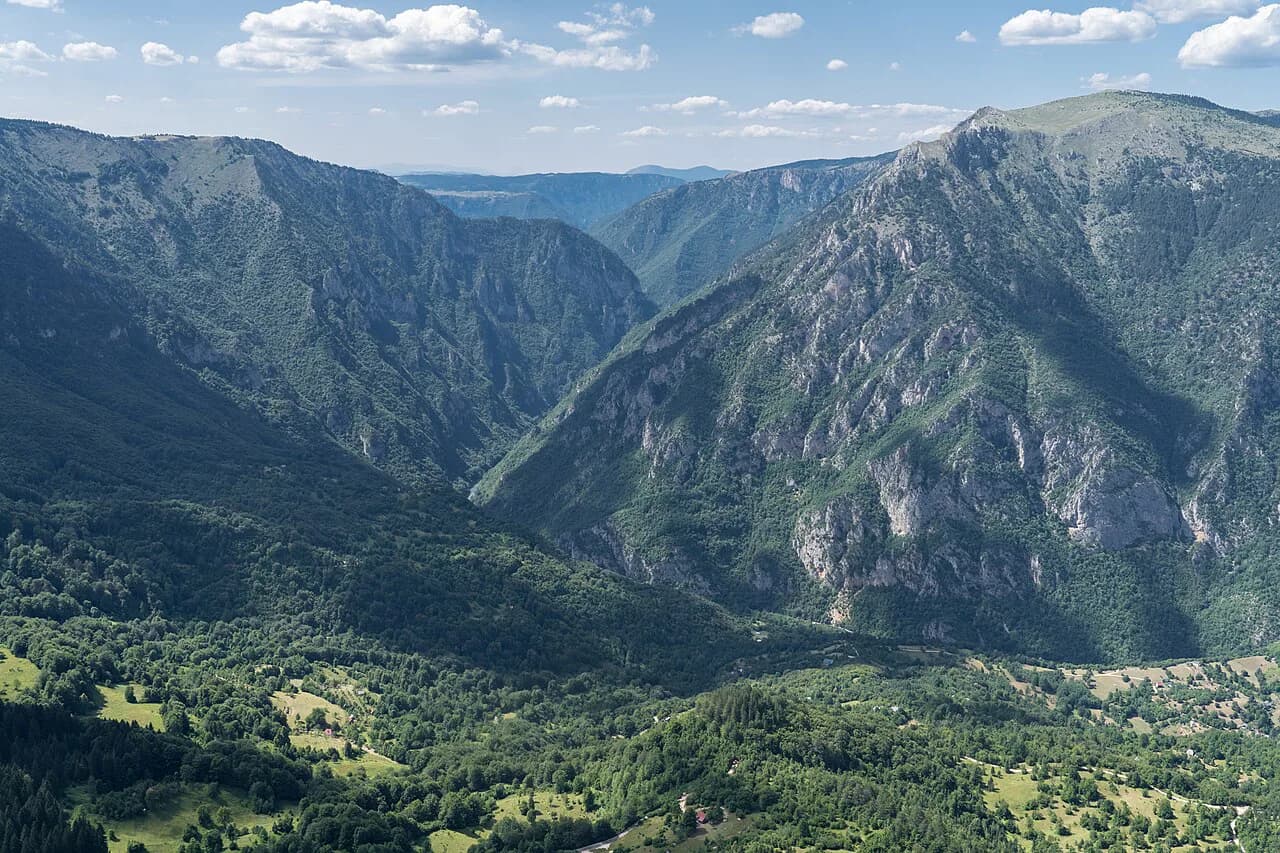
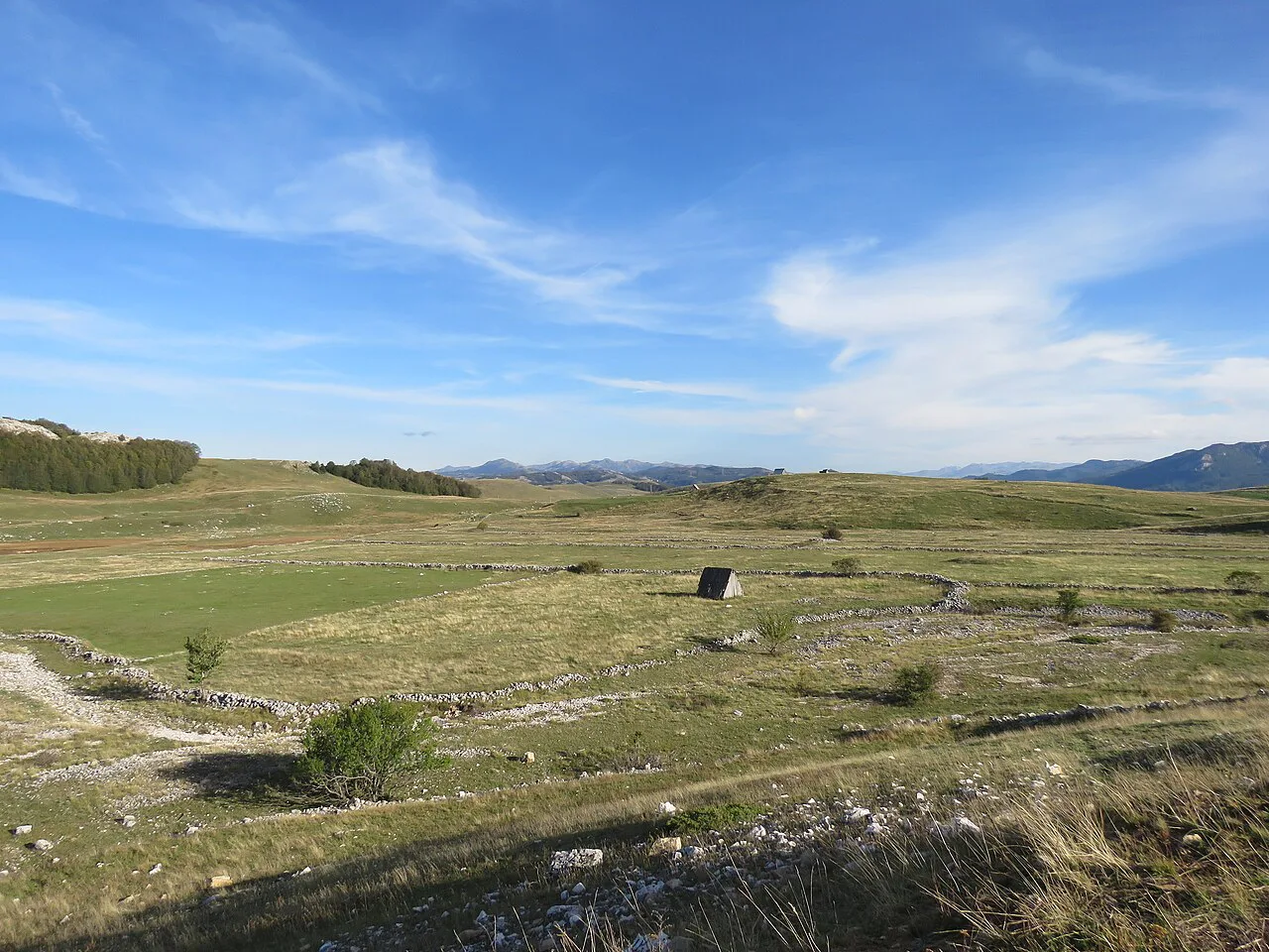
The park takes in the Durmitor mountain massif itself plus the canyons of the Tara, Draga and Sušica rivers and the highest stretch of the Komarnica canyon valley, so a map that stops at the mountain outline misses half the terrain. Expect a protected area that is long north to south, with the canyons cutting into it from several sides and the resort town of Žabljak sitting in the east. That shape matters when you plan: a straight-line distance on the map can mean an hour of winding road.
Where Žabljak sits and why it anchors the map
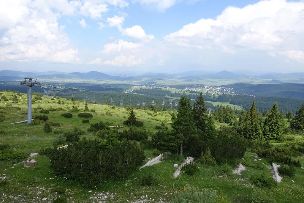
Žabljak is the park's main tourist resort and the town where the hotels and restaurants cluster, which is why almost every route on a Durmitor map begins or ends there. Arriving by car from Podgorica, the two practical approaches are through Nikšić, taking a little over two hours, or the more scenic line through Kolašin towards the Tara canyon. The fast road to Kolašin cuts that second leg down, and buses run on the same corridors if you are travelling without a car.
Treat the town as the pin you push into the map before anything else. Once you know how far you are from the Black Lake car park or the start of the ring, the rest of the distances make sense.
The Black Lake: the walk-in route from Žabljak
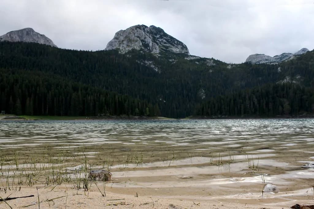
The Black Lake (Crno Jezero) is the one major sight you can reach on foot from town, along a paved path through forest, which makes it the natural first entry on any map. There is an entrance charge at the lake, and a writer who walked in from Žabljak records 2 euros without parking; treat that as a reported figure and check the posted price at the gate. Around the water, marked walking trails run in several directions and there is a restaurant and small stalls selling honey, berries and herbs.
Boats can be hired on the lake if you want to see it from the water rather than the shore path.
For a fuller picture of the shoreline paths, the swimming and what the entrance covers, the dedicated guide to Black Lake (Crno jezero) near Žabljak, Durmitor National Park is the place to start.
The other lakes on the map
Two more lakes sit beyond the Black Lake and are usually reached on foot from it rather than by road. Zmijinje Jezero, the Snake Lake, is about 3 km each way from the Black Lake on an easy trail through pine forest, with benches and tables along the shore. Jablan Jezero lies further out and draws fewer people, with a track climbing to a viewpoint above it that takes in the Black Lake, the Snake Lake and Jablan itself.
On a map these read as a cluster, and that is the right way to plan them: one half-day on foot from the Black Lake rather than three separate drives.
The Durmitor Ring: a 76 km circuit signed two ways
The Durmitor Ring, or Durmitorski Prsten, is a 76 km panoramic circuit through the park, split into a northern and a southern half so you can drive it as a loop. The signage is the part that trips people up: the ring runs on Panoramic Route 2, marked with a brown sign reading Panoramics Road 2 (Durmitor Ring), but the busier southern section is also signed as Panoramic Route 1, the Crown of Montenegro. Seeing the route name change at a junction is normal, not a wrong turn.
If you have no time for walking, the full circuit can be driven in less than a day, but two days gives room for stops and a night along the route. That is the honest trade-off: one day is a long drive with quick photo stops, two days is a drive with places to get out.
Driving the northern half versus the southern half
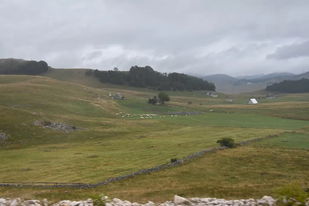
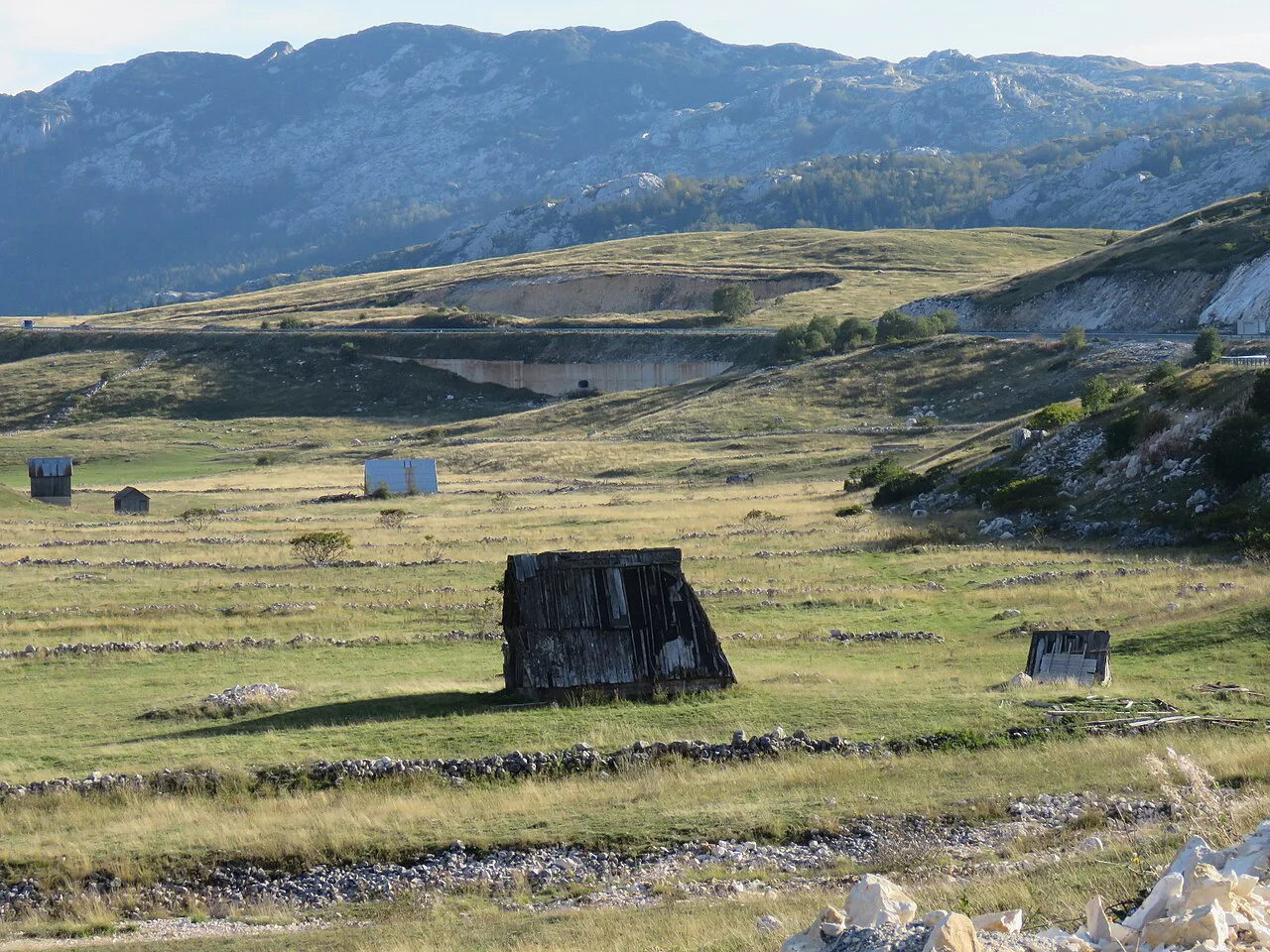
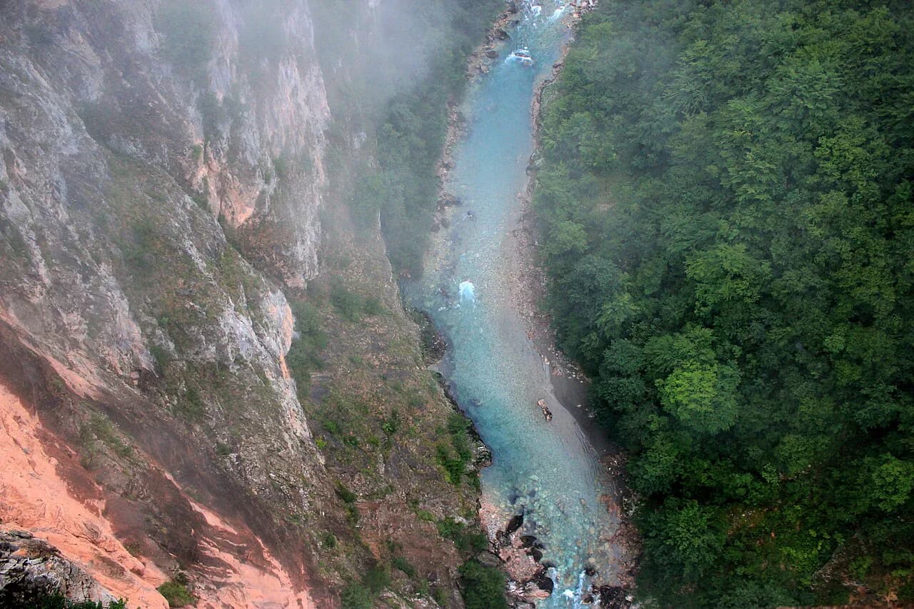
The northern half is quieter, running through dense forest on narrow, winding roads that are in worse condition in places, with the Tara canyon and Sušica canyon viewpoints as the rewards. The southern half is busier, popular with motorcyclists avoiding the rough northern surface, and the landscape opens into wide plains rather than forest. Its landmarks are Prutaš, a 2,400-metre mountain that also makes a good walk, and the Sedlo Pass, the highest mountain pass in Montenegro.
Choose on the basis of what you want from the car. Rough and empty on the north, smoother and busier on the south, and the two connect at either end so you can mix them in one loop.
Bolting Piva Lake and Plužine onto the circuit
Piva Lake sits east of the park, a reservoir 33 km long and up to 188 m deep, with the small town of Plužine at its edge. You can drive it as a detour between the two halves of the ring: take the northern route from Žabljak to Plužine, stop by the water, then return on the southern route. The descent from the panoramic road involves winding stretches and several dark tunnels with few places to pull over, so allow time for it.
Plužine itself is quiet and untouristy compared with Žabljak, with a few hotels, two supermarkets and a petrol station, plus a small bathing area on the lake. It works as a refuelling and overnight point rather than a destination in its own right.
The Đurđevića Tara Bridge and Sedlo Pass as mapping landmarks
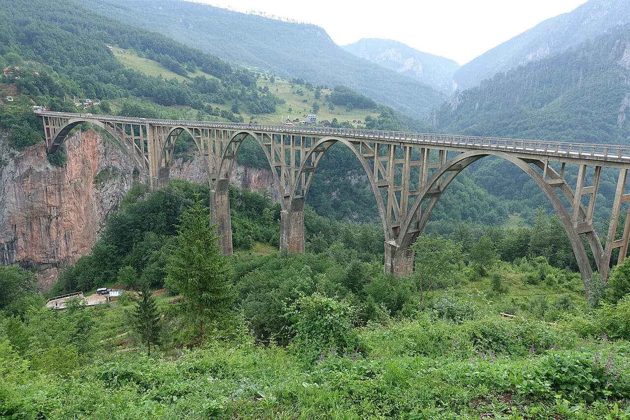
Two structures do most of the orientation work on a Durmitor map. The Đurđevića Tara Bridge crosses the Tara canyon on the eastern approach from Kolašin, and zip-lines run from beside it over the gorge, with one writer quoting around 20 euros per person for the longest line; that is a reported figure, so confirm the price on the day. Sedlo Pass, south of Žabljak, is the high point of the southern ring and the usual trailhead for walks towards the summit.
If your map reading is mainly about where to stop the car, these are the two names to fix in your head before you set off.
Park entry: what the rangers collect
Entry to the park is charged per person per day, collected by rangers at various points around the park rather than at a single gate, so budget for it wherever you enter. One source gives the figure as 5 euros per person per day; confirm the current rate with the park or at the ranger checkpoint, since entry charges are revised. Tickets can also be bought online in advance through the park's own site.
Keep the receipt or ticket with you: with several collection points, being able to show you have already paid saves an argument on a second stretch of road.
How long the circuit and the lakes need
Plan the Black Lake as a half-day on foot from Žabljak, extending to the Snake Lake and Jablan if you want a longer walk. Give the ring a full day if you are driving it without stops and two if you want to get out at the canyon viewpoints, walk part of Prutaš or spend a night along the route. Adding the Piva Lake detour and Plužine pushes it towards two full days.
That leaves a sensible split for a short visit: lakes one day, ring the next, with the Tara bridge slotted in on the way in or out.
Planning the map around marked trails without turning it into a hike
The park has 25 marked mountain-hiking trails, so any map you pick up will be dense with paths, and the more experienced hands suggest walking with someone who knows the terrain if you plan anything ambitious. The practical approach for a map-led visit is to use the trailheads as reference points, near the lakes, at Sedlo Pass and along the ring, rather than trying to trace full routes. Ski Centre Savin Kuk lists opening times of 10:00 to 16:00 daily, weather permitting, which is useful if your day on the mountain is out of season.
If you want the walking arranged rather than improvised, the guided options run out of Žabljak and cover the main viewpoints.
Which map to carry into Durmitor
Carry a map that shows Žabljak, the three lakes, the Đurđevića Tara Bridge and both halves of the ring, because those are the points that decide your day. Expect the route names to shift between Panoramic Route 1 and 2 at junctions, and plan the northern and southern halves as different drives rather than one uniform loop. Pair the driving with a walk to the Black Lake and you have covered the park's core without spending the whole visit behind the wheel.
Explore more Žabljak guides
Frequently Asked Questions
Is there a printed map of Durmitor National Park?
Maps, including hiking and biking versions, are distributed through the park's own website and at the park. The ring itself is signposted on the ground as Panoramic Route 2, with the southern section also carrying Panoramic Route 1 signage, so a paper map is a useful backup where signs change at junctions.
Can you drive the Durmitor Ring in a day?
Yes. The 76 km circuit can be driven in less than a day without stops, but two days allows time for the canyon viewpoints, a walk and an overnight stay along the route. Adding the detour to Piva Lake and Plužine pushes the trip towards two full days.
Where do you pay the Durmitor National Park entrance fee?
Rangers collect the per-person daily fee at various points around the park rather than at one entrance gate, so you may be asked to pay on more than one road. Tickets can also be bought online through the park's website before you arrive.
Is the road through Durmitor paved?
Both halves of the ring are paved roads, but the northern section is narrower, more winding and in worse condition in places than the busier southern section. Drivers who want a smoother surface tend to stay south; the northern half is quieter and rougher.
Sources
Notes for your Montenegro trip
Optional updates to our Montenegro town guides.
You might also like
Continue reading
More guides you'll find useful