Kotor Map: Old Town Landmarks, Gates and the Bay Layout
A visitor's map guide to Kotor: the Sea Gate, Square of Weapons, St Tryphon's Cathedral and the city walls, plus how the old town sits on the Bay of Kotor.
On this page
A Kotor map has two jobs: to get you from the Sea Gate to St Tryphon's Cathedral through a small grid of lanes, and to show how the walled town sits on the Bay of Kotor with mountains straight behind it. The old town is compact enough to cross on foot in minutes, so the map is for orientation rather than navigation by car. This guide lays out the main sights in walking order.
What a Kotor map needs to show you
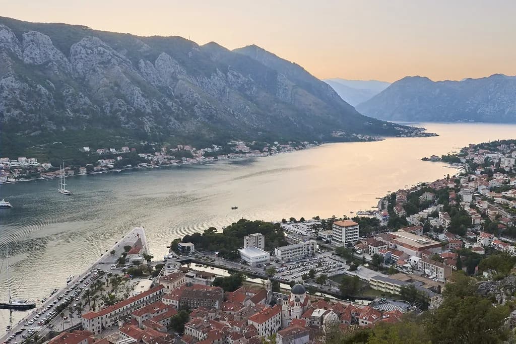
Start with three layers. The first is the walled old town itself, a tight pedestrian grid of squares, churches and palaces inside the city walls. The second is the shoreline of the Bay of Kotor, with the water in front and the mountains rising behind the town. The third is the wider bay, where Perast, Herceg Novi and the other coastal towns sit along the water and are reached by road or boat rather than on foot.
A map of the Bay of Kotor region showing its municipalities makes clear that Kotor is one of several coastal authorities around the same water, alongside Herceg Novi and others. That distinction matters when you plan: the old town is a single compact area, while the bay is a regional geography measured in road time.
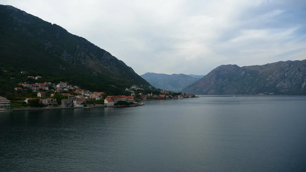
Where Kotor sits on the Bay of Kotor
Kotor sits at the head of the bay, at the point where the water narrows and the mountains close in. The town's layout follows that geography: the old town is pressed between the shoreline and the slopes, with the city walls climbing the hillside above the rooftops. The wider bay bends away to the north-west, which is why Perast and Herceg Novi sit along the water rather than in a straight line from Kotor.
For route planning, treat the old town as one stop and the bay as a separate map. Kotor connects by bus to other Montenegrin destinations including Podgorica and Budva, and international bus routes run from the town as well. That makes the bus station a useful pin on any map you carry, even if you plan to spend the day inside the walls.
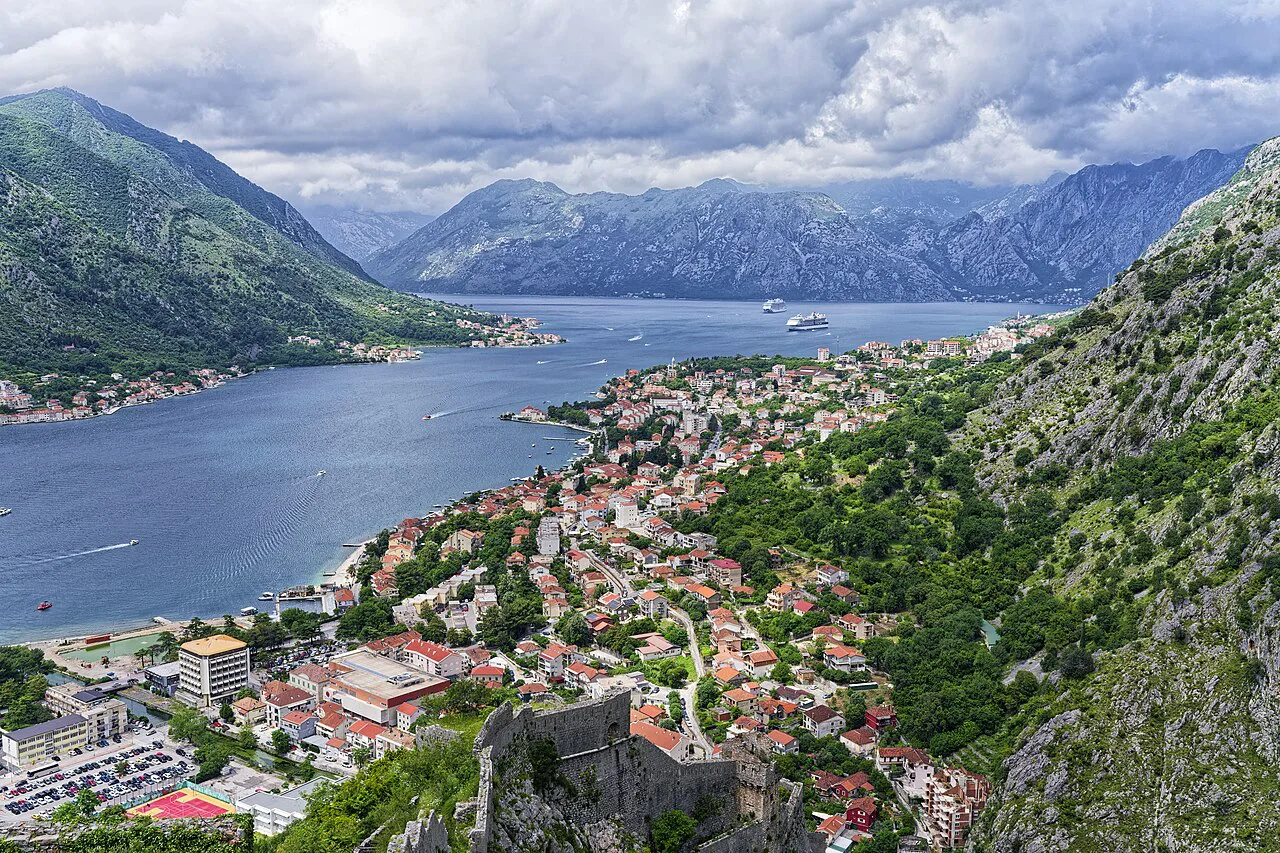
Inside the walls: the Sea Gate, the Square of Weapons and St Tryphon's Cathedral
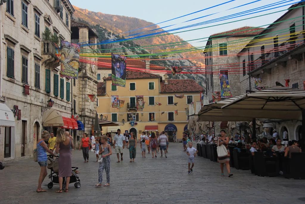
The classic first walk runs from the Sea Gate into the old town and on to the Square of Weapons, where the Clock Tower stands, before reaching St Tryphon's Cathedral. Those three names anchor most visitor maps, and they sit close enough together that you can cover them in one pass.
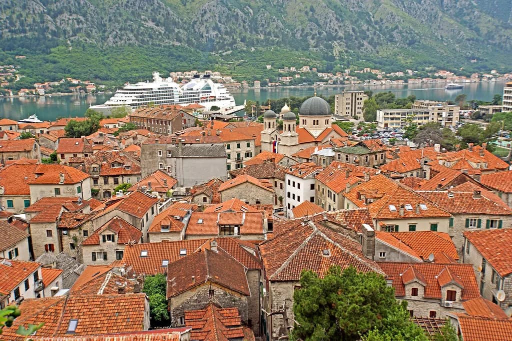
The cathedral is dedicated to St Tryphon, Kotor's patron saint, and its form is one of the landmarks that defines the town's skyline. The old town as a whole layers Illyrian, Byzantine, Venetian and Austrian architecture within its walls, which is why a single walk passes buildings from very different periods. A guide to Kotor History helps you read those layers rather than simply photographing them.
Palata Bizanti and the lanes between the sights
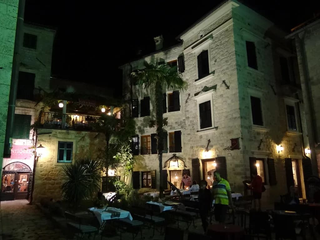
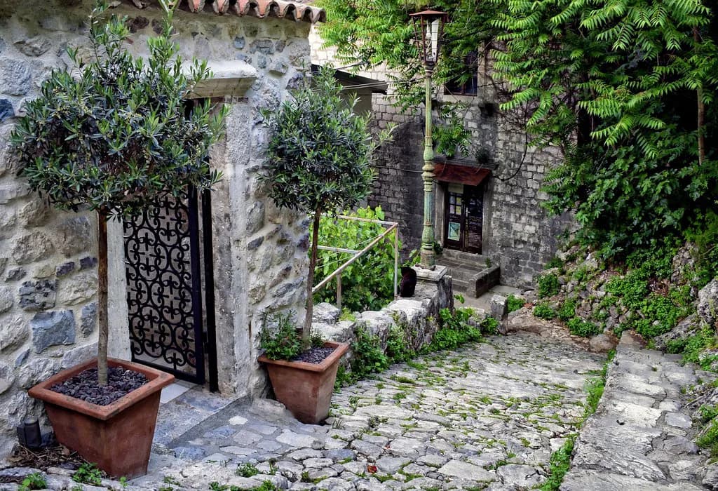
Beyond the headline sights, the old town rewards wandering. Palata Bizanti is one of the hidden gems that sits off the main squares and appears on walking routes through the town alongside the better-known landmarks. The lanes between them are where Kotor's cats tend to gather, and the squares open up without warning as you move through the grid.
The Maritime Museum is the main museum in town and a sensible stop when you want context for the waterfront you have been walking along. If you want the detail behind the buildings, a Kotor walking tour covers the same ground with commentary.
The city walls and San Giovanni fortress: the marked path from the Square of Wood
The city walls rise directly behind the old town, and San Giovanni fortress sits at the top of the fortifications. The marked path up to the fortress begins at the Square of Wood, which is the pin to look for on your map before you set out.
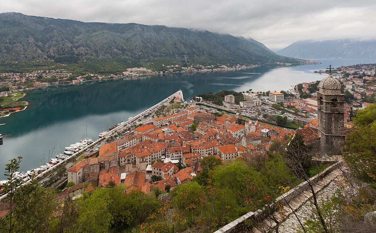
Walking part of the city wall gives you views back over the rooftops and out across the bay, which is the best way to understand how the town is shaped. The old town has no traffic, so you orient yourself by squares, gates and churches, not by street signs for cars.
Boat landings and the bay: Our Lady of the Rocks, Mamula and the Blue Cave
The bay-scale sights sit on the water rather than in the town. Boat routes from Kotor run to Our Lady of the Rocks, the church island close to Perast, and pass Mamula island on the way. The Blue Cave is also on these routes, and boats stop there for a swim. None of this is walkable from the old town.
Perast is the closest town on the bay and works as a day trip from Kotor, with the church island offshore. Boat operators set their own departure points, timings and prices, and these change with the season, so confirm the details with the operator when you book rather than relying on a printed map. Mark the waterfront in Kotor as your departure point and Perast as the destination, and the rest is scheduling.
Arriving and orienting: the bus station, the old town on foot and parking
Kotor is walkable, and inside the old town you have no other option, so plan to leave the car or bus behind at the edge of the walls. The bus station is the arrival point for coaches from Podgorica, Budva and international routes, and from there the old town is a short walk.
Parking is shown on town maps rather than signposted at every corner, so download a map with marked parking areas before you drive in. The Municipality of Herceg Novi publishes city maps with parking lots marked as well as a nautical chart of the Bay of Kotor, useful if your trip combines Kotor with the towns around the water.
Which map to carry
A paper city map is the most reliable option in the lanes, where phone signal and battery both suffer between tall stone walls. The Municipality of Herceg Novi publishes downloadable city and bay maps, including a topographic map and a nautical chart, which are useful across the wider Bay of Kotor.
For self-guided routes, a walking app with mapped city walks can replace a paper plan on your phone, though you still need to be able to read the gate-and-square layout yourself. Whichever you choose, mark the Sea Gate, the Square of Weapons, the cathedral and the Square of Wood before you arrive.
Map your day in Kotor
Sketch the walk before you arrive: enter at the Sea Gate, cross the Square of Weapons under the Clock Tower, find St Tryphon's Cathedral, then look for the Square of Wood if you want the marked path to San Giovanni fortress. Keep the bay on a second page of your mental map, with boat routes out to Our Lady of the Rocks, Mamula and the Blue Cave.
Explore more Kotor guides
Frequently Asked Questions
How do you get around Kotor Old Town?
On foot. Kotor is very walkable and inside the old town walls there is no other option, so park or arrive by bus at the edge of the town and walk in through the Sea Gate. Buses connect Kotor with Podgorica, Budva and international routes, and the bus station is a short walk from the walls. Plan your arrival time around the bus schedule you find online.
Where does the marked path to San Giovanni fortress start?
The marked path up to San Giovanni fortress begins at the Square of Wood. Mark that square on your map before you set out, because the entrance is easy to walk past in the lanes. The fortress sits at the top of the city walls above the old town, and the walls themselves give views back over the rooftops and out across the bay.
Which boat trips leave Kotor for the bay?
Boat routes from Kotor head out to Our Lady of the Rocks near Perast, pass Mamula island and stop at the Blue Cave for a swim. Departure points, timings and prices vary by operator and season, so confirm them with the operator when you book rather than relying on a printed map. None of these stops can be reached on foot from the old town.
Sources
Notes for your Montenegro trip
Optional updates to our Montenegro town guides.
You might also like
Continue reading
More guides you'll find useful