Bay of Kotor History: What You Can Still See Today
Bay of Kotor history told through places you can visit: Venetian towns, seafaring palaces, two island churches, fortresses and the Verige Gorge.
On this page
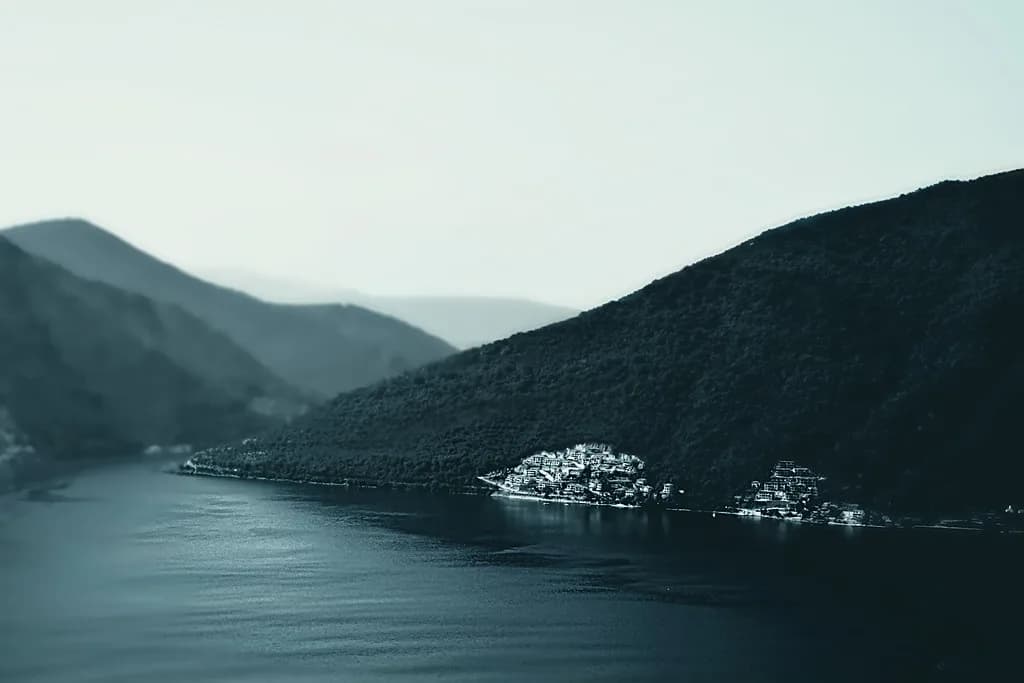
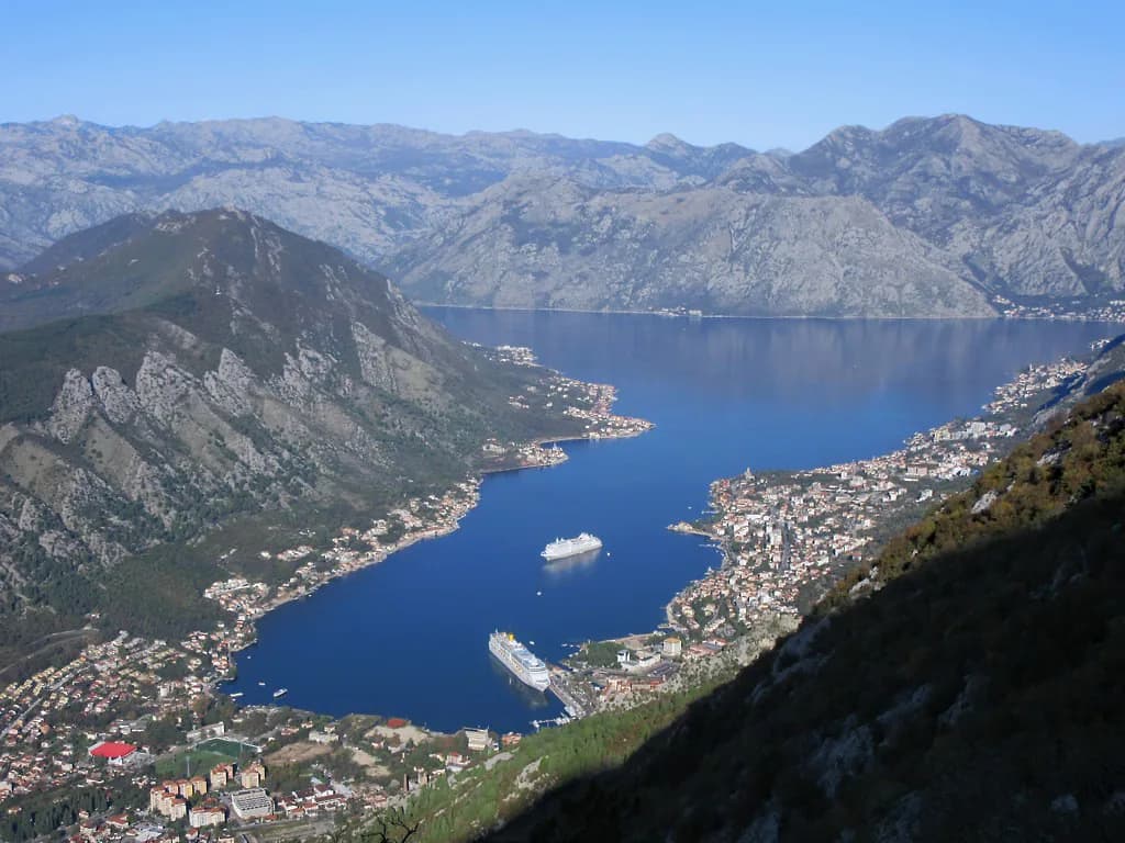
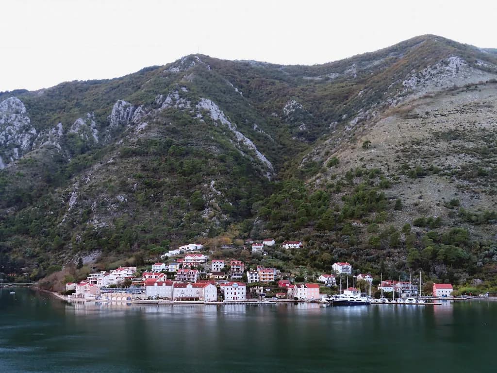
Bay of Kotor history is written into a sheltered bay 28 km long with around 105 km of coastline, where steep mountains drop straight to the water. That geography is the story: the bay gave fleets shelter from Adriatic storms, which is why empires held it and why its towns filled with the palaces their seafarers paid for. The bay is a UNESCO World Heritage Site, listed in 1979, and this guide ties each period to a named place you can stand in today.
Plan the day around two centres. Kotor holds the cathedral and the maritime collections, while Perast is where the captains' wealth shows along one short waterfront and out on two islets. Everything else — the Austro-Hungarian fortress at the entrance, the submarine tunnels, the modern marinas — sits between them or beyond.
A sheltered bay on the Adriatic
The bay's shape did the work. The Bay of Kotor is 28 km long with a coastline of around 105 km, and it averages 30 m in depth. At its narrowest point, the Verige Gorge, the water reaches 75 m.
That combination of shelter, depth and a strategic position on the Adriatic made the bay valuable to empires with fleets, who used it as a refuge from storms and as a place to hide from enemies. The powers that stayed longest and left the clearest mark on its culture and heritage were the Venetian Republic and the Austro-Hungarian Empire. The bay's present name took shape in the Venetian period, when Kotor was its most significant economic and trading centre.
Three municipalities share the water today: Kotor, Tivat and Herceg Novi. For a history-focused visit, that matters because the sites are split across them, so a single base still means crossing municipal lines to see the fortress at the entrance and the towns along the inner shore. Our Boka Kotorska map lays out where each stop sits before you commit to a route.
Venetian Boka: the layer you see first
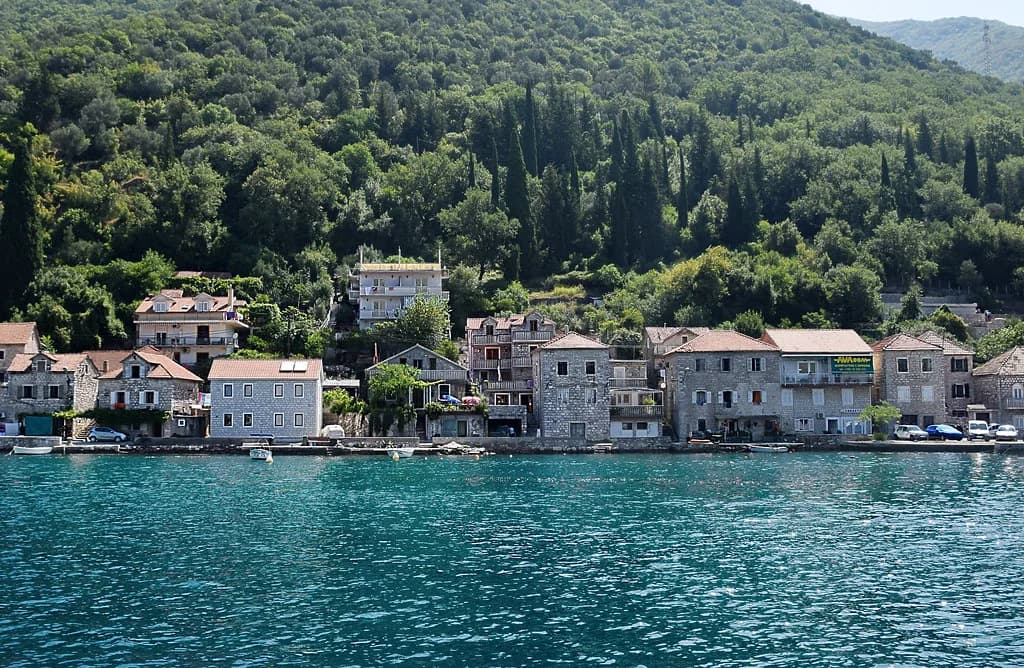
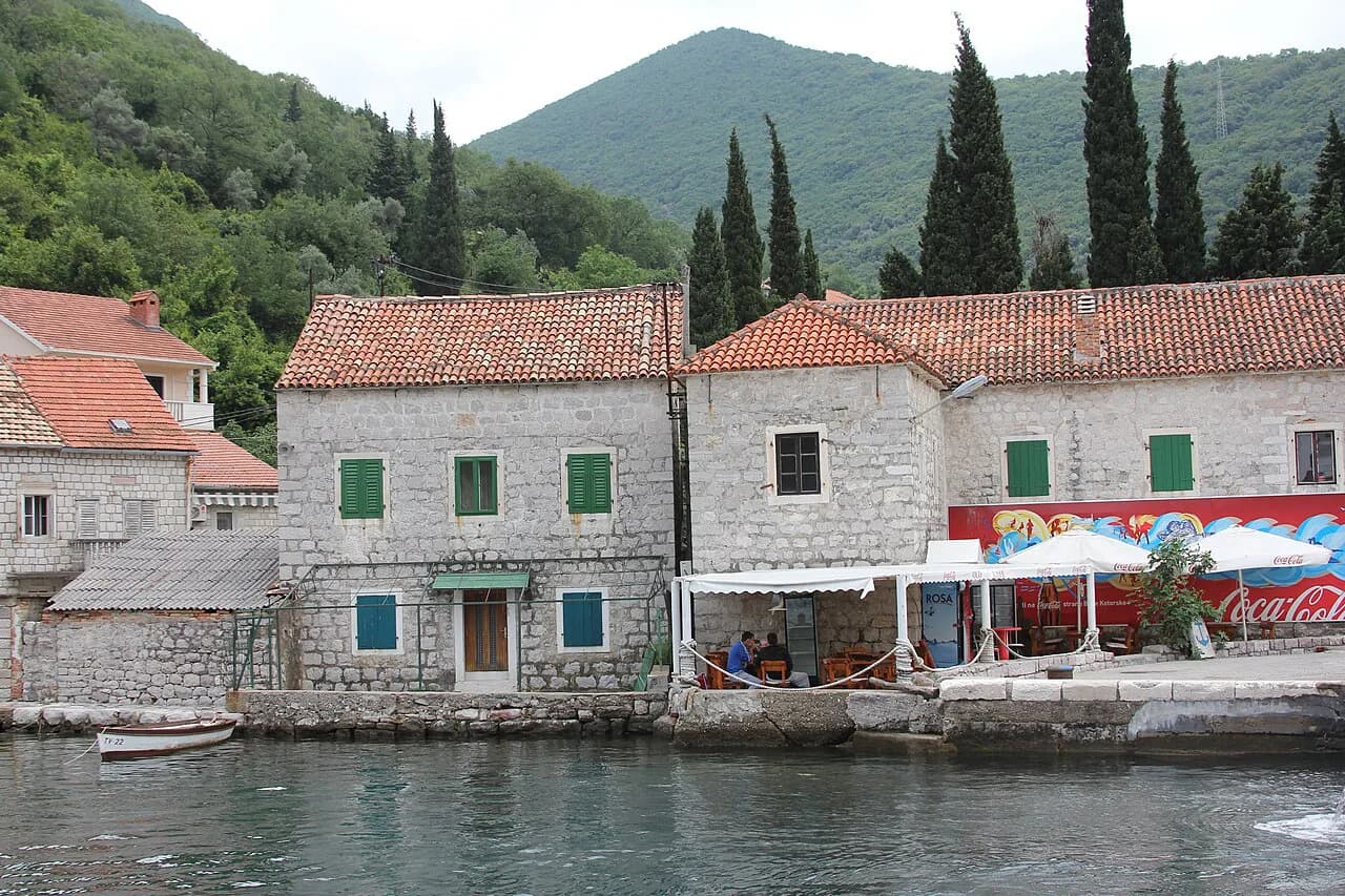
Venetian rule left the towns with a slightly Italian atmosphere, and you can still hear that influence in the culture, language and traditions of the bay. The visible legacy is architectural: palaces along the coast, defensive towers on the waterfront, and churches built and rebuilt over centuries of maritime income.
Read the buildings in two passes. Start with the town walls and waterfront defences, which show where the money went for protection, then look at the houses behind them, which show where it went for display. Once you know to look for both, the difference between a fortified edge and a merchant's frontage becomes obvious along the shore.
Kotor's Old Town: the cathedral and the maritime collections
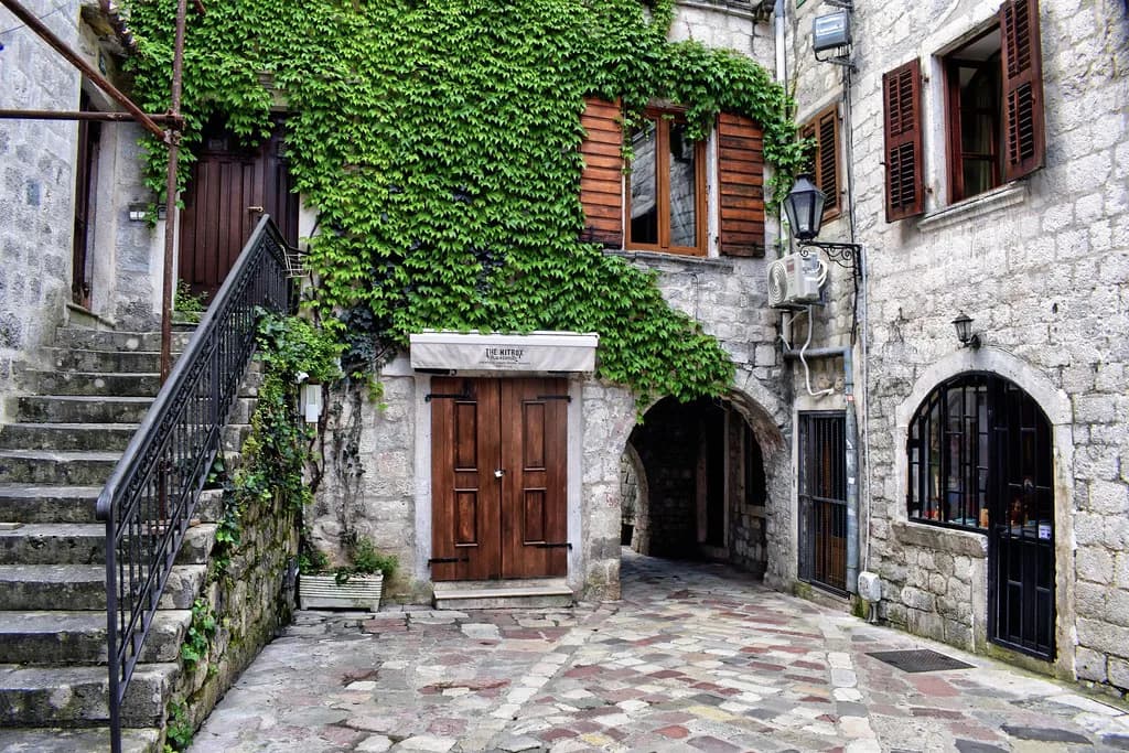
Kotor's Old Town is a medieval city enclosed by stone walls, a tangle of narrow alleys, squares and well-preserved architecture that rewards slow walking rather than a checklist. Two stops carry most of the historical weight: the Cathedral of Saint Tryphon, built in the Romanesque style, and the Maritime Museum, which sets out the bay's naval history and traditions.
The town rewards a simple order. Walk the streets first to get the shape of the place, then take the cathedral and the museum as your two long stops. The fortress above the town rewards climbers with panoramic views over the bay, but treat it as a separate effort rather than something to slot between the two.
Perast: palaces and the Tower of the Holy Cross
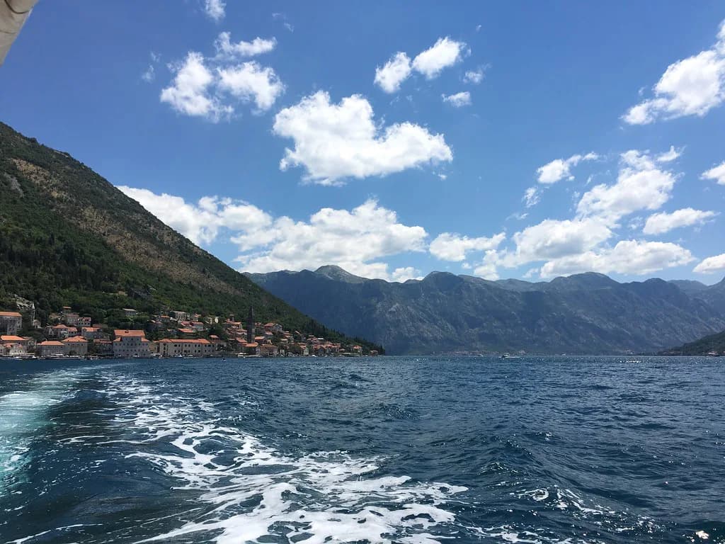
Perast shows what the maritime years paid for. The town holds 16 palaces and 17 Catholic churches, alongside two Orthodox churches, and its waterfront is lined with defensive towers. The most prominent is the Tower of the Holy Cross, built during Venetian rule in the 15th and 16th centuries. Perast was a wealthy maritime hub under the Venetian Republic, and the baroque architecture along its quiet streets is the receipt.
Within the town, the Church of St Nicholas and its bell tower give the baroque elegance a focal point, while the Maritime Museum chronicles Perast's prosperous era. The town is small enough to cover on foot, so give the museum your time and let the waterfront walks fill the rest.
Two islets sit offshore, and they are not the same proposition. Our Lady of the Rocks takes visitors; Sveti Đorđe is a natural island with a Benedictine monastery and an ancient cemetery, and its cypress trees give it a solemn atmosphere rather than a sightseeing one. Plan the boat time around the first and view the second from the water.
Gospa od Škrpjela: the man-made island
Our Lady of the Rocks, or Gospa od Škrpjela, is the one island you visit rather than admire from a distance. Local sailors are said to have created it over centuries by placing rocks in the bay after each successful voyage. The church at its centre was completed in 1630 and expanded in the 18th century.
Inside, the church holds a marble altar, baroque artwork and a tapestry made with precious materials, and the art collection includes a painting by the Venetian artist Tripo Kokolja. The island is also honoured locally each July 22, when residents drop stones to reinforce it in the Fašinada ritual.
A boat trip to the island can be paired with Perast on a scenic speedboat crossing, which combines the church visit with the waterfront in one movement. Book through an operator whose published route includes both, since the pairing is the practical reason the trip works.
Austro-Hungarian Boka and the later Yugoslav layer
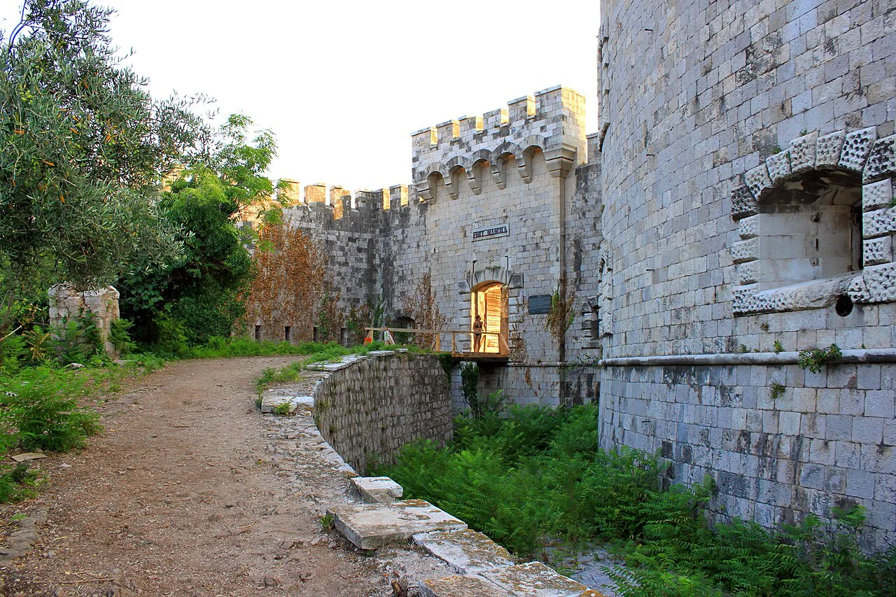
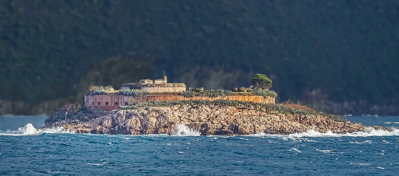
At the entrance to the bay, Mamula Island is a small islet whose defining feature is a 19th-century fortress built by the Austro-Hungarian Empire to guard the strategic Adriatic waters. The fort has a distinctive circular shape and was used as a military prison during the Second World War. The island is private and now carries a luxury hotel, so it reads as a landmark from the water rather than a ruin you wander.
The later Yugoslav period left its own marks: three Cold War-era submarine tunnels built by the Yugoslav military in the 1970s to shelter submarines, carved into cliffs along the Adriatic coast, including one near Tivat. They are no longer in use, but boat routes past the tunnels remain a way to see the military layer of the bay's history.
From the water or by road?
Boats cover the historic sites that roads cannot reach, and the two islands near Perast are the clearest case. The Blue Cave sits about 6 nautical miles from Herceg Novi and is reached by boat, with the passage passing the submarine tunnels and coastal rock formations. That makes a waterborne half-day the efficient way to see the outer sights.
Roads still make sense for the towns. Kotor and Perast are connected along the inner shore, and Tivat sits on the same side of the water. Travelling by road lets you decide how long to stay in each place; a boat fixes your time at every stop. Mix the two: one day on the water for the islands and tunnels, one day on foot for the towns.
How long the historic core needs
Give Kotor's Old Town and Perast separate slots rather than squeezing them into one. Kotor needs the longest, because the cathedral and Maritime Museum are both indoor stops and the alley walking takes time of its own. Perast needs less, but the waterfront and the museum together justify a few hours.
With one spare day, choose between the Old Town and the islands. The Old Town gives you the cathedral, the museum and the walls in a single compact area. The island trip gives you the church completed in 1630, the artwork and the crossing past Perast. If your interest is architecture and seafaring wealth, pick the islands; if you want one place to walk at your own pace, pick the Old Town. Our guide to Dobrota, on the shore north of Kotor, adds a quieter waterfront if you want something calmer nearby.
Ticket details to confirm before you go
Entry charges for the cathedral, the Maritime Museum and the church on Our Lady of the Rocks change, and operators publish their own tour rates. Check each site's current ticket information and each operator's booking page for the day you plan to travel, rather than budgeting from a guidebook figure.
For boat services, routes are the variable. Operators list which tours include Perast, Our Lady of the Rocks, the Blue Cave and the submarine tunnels, and some run private charters with flexible itineraries. Compare the route list rather than the trip name.
Which historical layer to chase first
Start with Perast and Our Lady of the Rocks if you want the maritime story in one view: the palaces and the Tower of the Holy Cross on shore, the man-made island and its church a short crossing away. If you would rather walk a walled medieval town, begin in Kotor with the Cathedral of Saint Tryphon and the Maritime Museum, then read the waterfront defences as the Venetian layer and the seafaring houses behind them as the wealth that followed.
Leave the outer bay for a second day, when Mamula's circular fortress and the submarine tunnels make sense as a boat route rather than a detour. Whichever order you choose, the bay's geography made it strategically valuable: 28 km of sheltered water with 75 m at the Verige Gorge is why the fleets came, and why the towns had money to spend on stone.
Explore more Bay of Kotor guides
Frequently Asked Questions
What is the Verige Gorge?
The Verige is the narrowest part of the Bay of Kotor, where the water reaches a depth of 75 m against an average of 30 m across the bay. It is the point where the bay's inner basins pinch together, so it reads clearly on a map of the Bay of Kotor.
Was the Bay of Kotor a fjord?
It is a sheltered bay with mountains dropping to the water, 28 km long with around 105 km of coastline. Describe it as a bay, not a fjord; the resemblance is to scenery, not geology.
Which towns share the bay today?
Three municipalities: Kotor, Tivat and Herceg Novi. The historic sites are split across them, which is why a single day usually covers one side of the water rather than the whole shore.
Did the Venetians or the Austro-Hungarians shape the bay more?
Both stayed long and left a mark. The Venetian Republic gave the bay its present name and the palace-and-tower architecture of the towns, while the Austro-Hungarian Empire built defences such as the circular fortress on Mamula at the entrance. Kotor's cathedral and Maritime Museum sit within the Venetian layer.
Sources
Notes for your Montenegro trip
Optional updates to our Montenegro town guides.
You might also like
Continue reading
More guides you'll find useful