Lepetane, Montenegro: The Verige Strait Ferry Village
Lepetane is the Bay of Kotor village where the Kamenari car ferry crosses the Verige strait. Here is what is there, how the crossing works and where to swim.
On this page
Lepetane is the village on the Vrmac peninsula where the Kamenari car ferry crosses the Verige strait, the narrowest point of the Bay of Kotor, so most travellers meet it as a shortcut rather than a destination. The strait runs 2.4 km long and about 350 m wide, which is why the crossing is short and the drive around the bay is not. This guide covers the ferry, the roads in from Tivat and Kotor, the centre, the beaches and the walled church at Cape Gospa od Anđela.
Treat Lepetane as one half of a bay day rather than a stop in its own right: pair a crossing with Perast on the far shore or with Tivat on this side. The village spreads up the hillside from a plateau where the ferries dock, and the small beaches sit either side of that centre. What follows is the practical order of decisions: whether to cross, how to reach the landing, and what to do with the hour you save.
Where Lepetane is and how the strait works
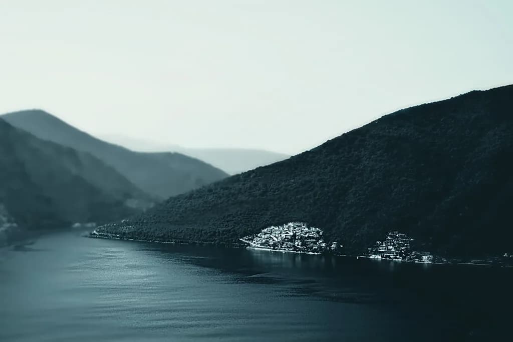
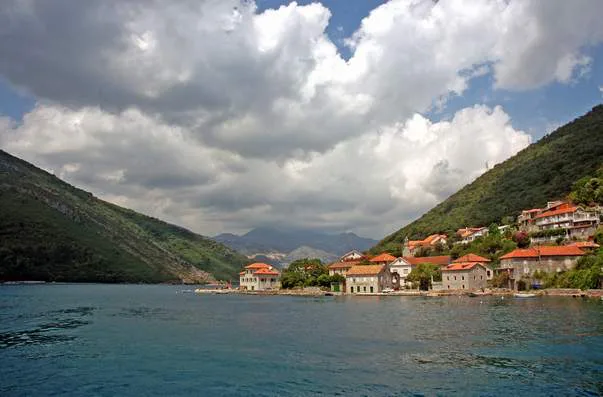
Lepetane sits on the coast of the Vrmac peninsula between Kotor and Tivat, facing Kamenari across the Verige strait. The channel is the tightest part of the bay, measuring 2.4 km from end to end and roughly 350 m across, which explains why a ferry can shuttle vehicles over in a few minutes while the road route curls the whole way round.
The name is usually explained in one of two ways: either from nicknames of Perast families who owned land here, or from a romantic story about the wives of Kotor captains. Neither is settled, so the useful fact for a visitor is simply the spelling — Lepetane, not Lepetani. The village centre sits on the plateau right at the water, with houses climbing the hillside behind it among old terraced plots and olive roots.
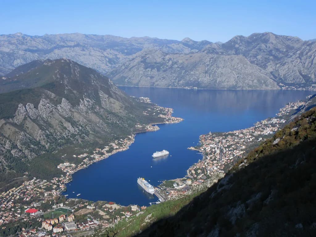
Use the Bay of Kotor map to see how the two shores relate before you commit to a route: the strait separates the Kotor-side road from the Tivat-side road, and the ferry joins them at the narrowest gap.
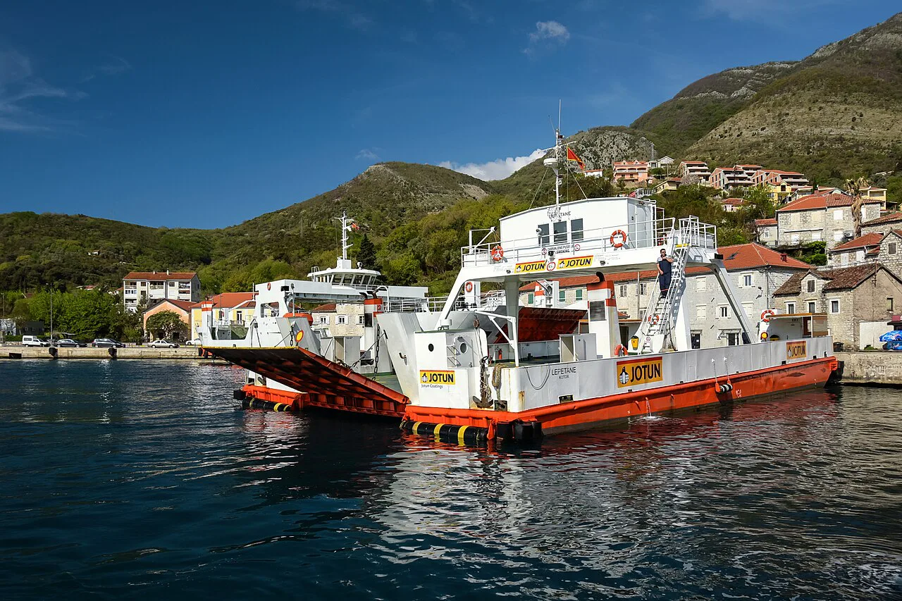
The Kamenari–Lepetane ferry crossing
The ferry links Lepetane with Kamenari on the opposite shore and has run for more than a century. In the nominal summer timetable boats are listed roughly every 15 to 20 minutes, but queuing, loading and unloading all add to that interval. Build the waiting time into your plan rather than treating the ferry as an instant shortcut.
The crossing itself is short — the strait is only about 350 m wide — but the wait and loading time are what determine your journey. Check the fare and the day's running times before you set out, since these change with the season.
For a detailed plan of the sailing itself, see the guide to the Kamenari–Lepetane ferry.
Getting to Lepetane by road or on foot
By road, Lepetane is reached from Tivat along the Vrmac shore, or from Kotor by rounding the peninsula; both approaches are coastal and slow in summer traffic. On foot, the ferry landing itself is the arrival point, so walkers step off straight into the plateau at the centre of the village. From there the beaches are a short walk either side rather than a separate trip.
The bay's villages on the Kotor side, such as Dobrota, are strung along the same shoreline and make a natural pairing with a Lepetane crossing if you are working your way round by car.
Parking at the landing is limited, so arriving by ferry as a foot passenger or being dropped off removes the main practical headache. Plan to park elsewhere and walk in during peak season.
The centre of Lepetane
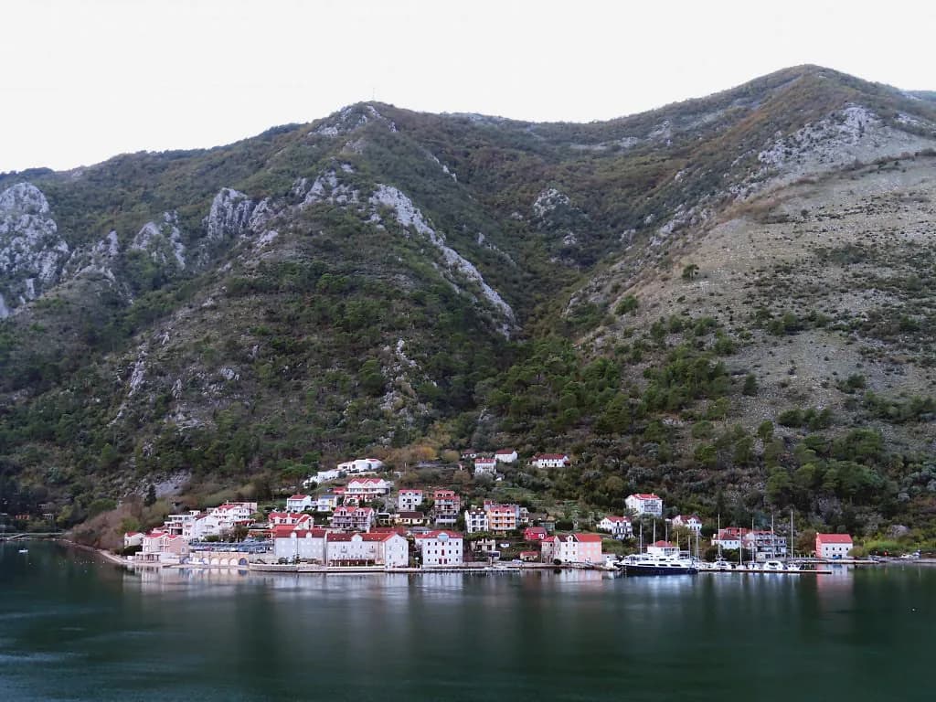
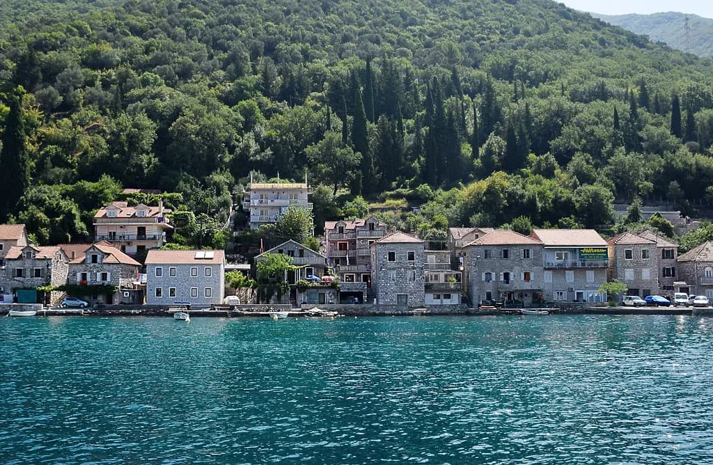
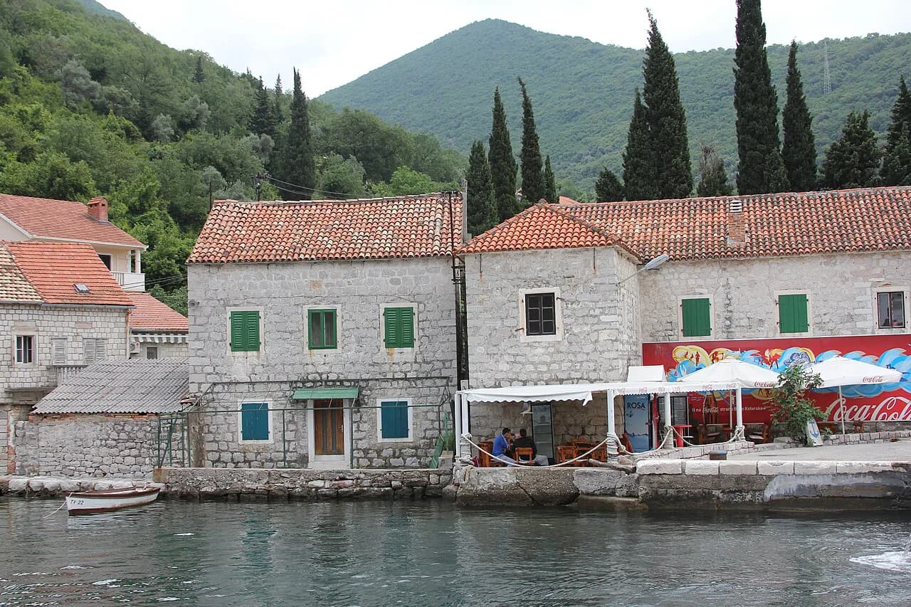
The heart of the village is the plateau where the boats dock, with the settlement spreading left and right into the hill. It is a small, lived-in place rather than a resort, and the centre is best used as a landing point, a place for a short wander and a base for the beaches. The view back across the strait towards Kamenari is the reason most people stop at all.
Neighbouring waterfront villages on the same shore, including Prčanj, reward a slow drive if you have time after the crossing.
Beaches around the village
The best-known beach is at Cape Opatovo, about 200 m long and mostly shingle with some sand, lying right opposite the strait. Smaller bathing spots line the shore on both sides of the centre, and the more secluded sandy patches are on the right-hand side as you look out from Lepetane.
At the narrowest point, by Cape Gospa od Anđela, there is a wild bathing place with no facilities and a clear view towards Perast. Check shipping traffic, wind, current and the entry before you swim there, and stay out of the fairway — this is a working channel, not a sheltered cove.
The quiet villages further along the bay, such as Stoliv, are worth knowing if you want a calmer swim away from the ferry traffic.
Cape Gospa od Anđela and its church
The small church at Cape Gospa od Anđela is documented in 1469 and again in 1526, and a defensive wall with firing slits was built around it in 1585 against pirates and Ottoman raids. It stands today in a dilapidated state, so treat it as something to look at from outside rather than a monument you can tour inside. The setting, at the throat of the strait, is what makes the detour worthwhile.
For the wider story of the bay's fortified churches and coastal defences, the Bay of Kotor history pages put places like this in context.
The lighthouses and the shipping
Two lighthouses mark the strait: the light at Cape Opatovo flashes green, and the one at Cape Sveta Nedelja on the far side flashes red. They matter because a great deal of traffic passes through the Verige channel in season, including large passenger ships that come close enough to the shore to feel within touching distance.
That traffic is also why the swimming advice matters here: keep clear of the channel when ships are moving through, and pick your moment rather than treating the strait as a swimming pool.
Parking and practical limits
Parking around the ferry landing is limited, so the realistic options are to arrive as a foot passenger, to be dropped off, or to accept a walk from wherever you find space. The village has no large car park at the water, and the plateau is given over to the boat traffic.
Other shore villages on this side of the bay, including Risan and Morinj, are easier to combine with a Lepetane crossing than to reach on foot, so a car helps if you want to see more than the landing.
Where Lepetane fits into a Bay of Kotor day
Use Lepetane as a link rather than a destination: cross from Kamenari in the morning, spend an hour at Cape Opatovo and the church, then drive on towards Tivat or back round towards Perast. A crossing paired with Perast gives you the two shores of the bay in one day without retracing the road.
The broader Bay of Kotor guide sets out how the towns, villages and ferry crossings fit together if you are building a multi-day route.
Kostanjica and Muo are other small waterfront stops that work well as add-ons on the same shoreline drive.
Ferry or drive around the bay?
Take the ferry when the queue is shorter than the road, and drive when it is not: the Verige crossing is a tool for saving time, not a sight in itself. Arrive as a foot passenger if you can, because parking at the landing is limited and the plateau is busy with boat traffic.
Whichever you choose, allow an hour on the Lepetane side for Cape Opatovo and the church at Gospa od Anđela, and check the day's sailings and fares with the operator before you travel.
Explore more Bay of Kotor guides
Frequently Asked Questions
How long is the Kamenari to Lepetane ferry crossing?
The strait is about 350 m wide, so the crossing itself is short; the time that matters is the wait, since the summer timetable lists boats roughly every 15 to 20 minutes and loading adds to that.
Can you walk onto the Lepetane ferry as a foot passenger?
Foot passengers can cross between Lepetane and Kamenari, which suits anyone walking between the two shores. Fares and running times change with the season, so confirm them with the operator before you travel.
Is Lepetane worth stopping at, or just a ferry queue?
Worth an hour rather than a day. The beach at Cape Opatovo, the view across the strait and the walled church at Cape Gospa od Anđela justify a stop, but the village is best used as a crossing point on the way to Perast or Tivat.
Sources
Notes for your Montenegro trip
Optional updates to our Montenegro town guides.
You might also like
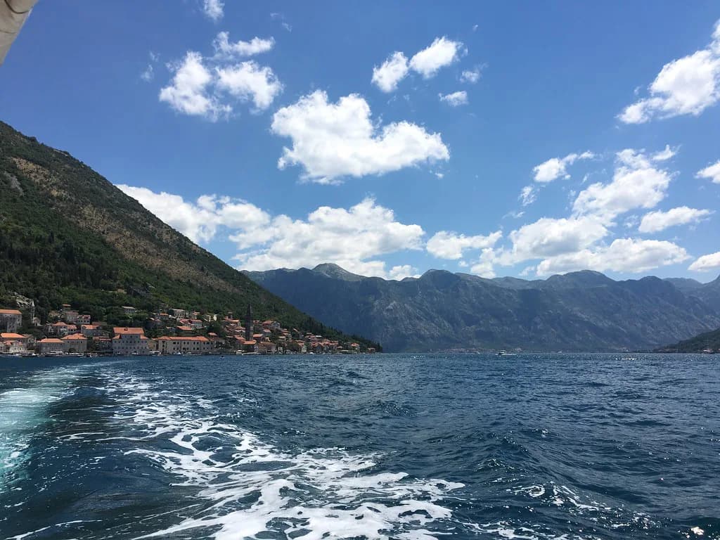
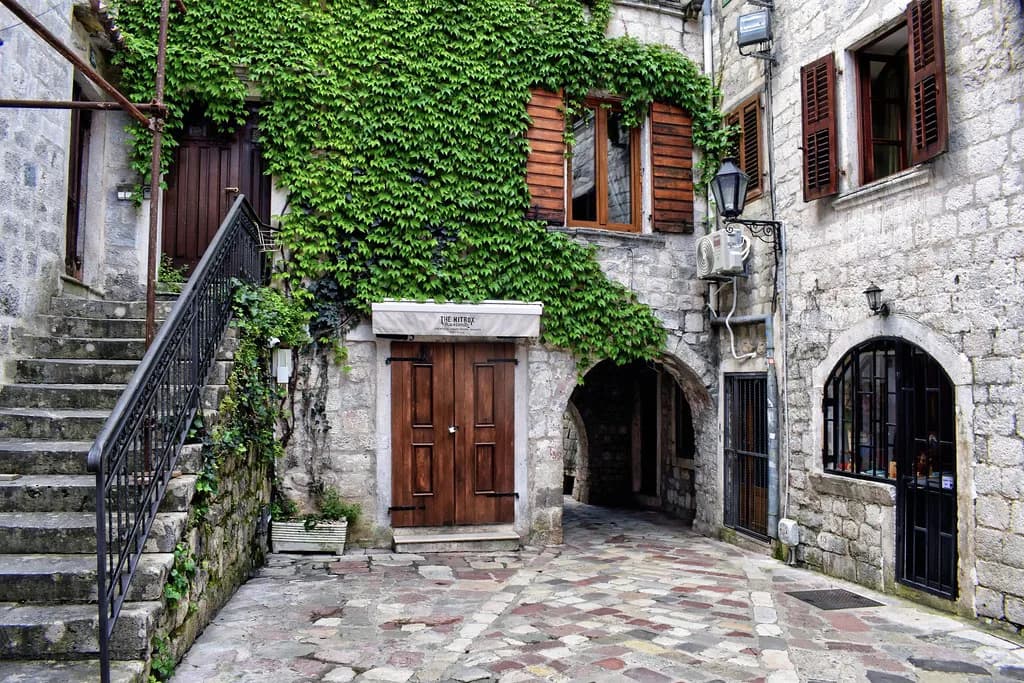
Continue reading
More guides you'll find useful