Bay of Kotor Map: The Four Bays, Towns and How They Connect
A Bay of Kotor map explained: the four linked bays, where Kotor, Herceg Novi, Tivat, Perast and Risan sit, and how the shoreline and roads fit together.
On this page
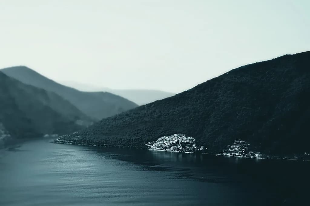
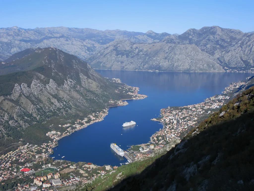
The Bay of Kotor, or Boka Kotorska, is not one bay but four linked ones: Herceg Novi Bay, Tivat Bay, Risan Bay and Kotor Bay. Read a map of the area with that in mind and the shape stops looking random — each arm of water has its own towns, its own road and its own place in a loop around the shore. This guide sets out what a tourist map of the bay shows, how to place the main towns on the right arm, and how to plan a route between them.
What a Bay of Kotor map actually shows
The key to the map is that the water twists back on itself. What looks like a single inlet is a chain of four bays joined end to end, so a town on the far shore can be a long drive away by road even when it appears close across the water. A downloadable tourist map of the area marks towns, resorts, main roads, secondary roads and points of interest, which is exactly the layer you need when deciding which shore to stay on.
The water is a submerged river canyon, not a fjord, despite the steep walls that make it look like one. That matters for reading the map: the shoreline is a drowned valley, which is why the bays nest inside each other rather than sitting in a straight line along the coast. Keep the false-fjord point in mind, because it explains the tight bends between Kotor Bay and Risan Bay that catch people out when they estimate distances.
Where the Bay of Kotor sits on the Adriatic coast
The bay indents the Adriatic coast of Montenegro, with the open sea to the west and the bulk of the country behind the mountains to the east. On a national map, look for the coast running roughly north-west to south-east and the deep notch cut into it near the middle — that notch is the bay, and the flat coastal strip around Budva lies further south beyond its mouth. Placing the bay on the national map first makes the local one far easier to follow.
Within the bay, orientation is straightforward once you know the order of the arms. Herceg Novi Bay sits at the seaward entrance, Tivat Bay follows as the water turns, then Risan Bay, and finally Kotor Bay at the innermost end. Any map of the area that labels all four is more useful than one that treats the whole inlet as a single name. For background on how the towns on these shores developed, see Bay of Kotor History.
The shoreline in numbers
The bay covers an area of 87.33 km², reaches a depth of up to 60 m and has a coastline of 105.7 km. Another commonly quoted figure for the shoreline is 107 km, which reflects slightly different measuring conventions rather than a different bay. For planning, the figure that matters is the coastline length: it tells you that tracing the whole shore is a substantial day rather than an hour's detour.
The surrounding region receives around 2,152 mm of rain a year, with surface water running from roughly 12°C in winter to 25°C in summer. Treat those as typical figures rather than a forecast for your dates. The rainfall number is worth noting when you sketch a route, because the mountains that ring the bay shape both the weather and the road layout you will see on the map.
Tracing the shore town by town
Start at the entrance. Herceg Novi guards the seaward end of the bay. Its main map landmarks are the Forte Mare fortress and Kanli Kula, and our guide to the Herceg Novi map shows where they sit. From there the shore runs to Tivat, where Porto Montenegro marina occupies the waterfront, before the water turns into Risan Bay.
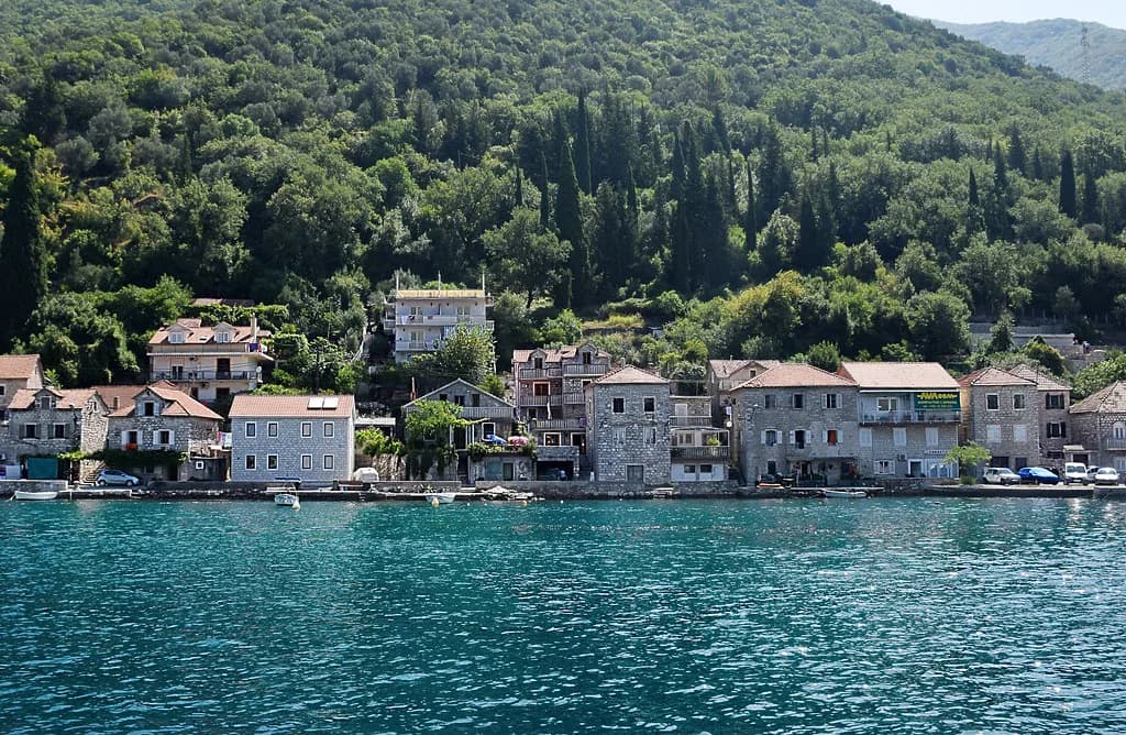
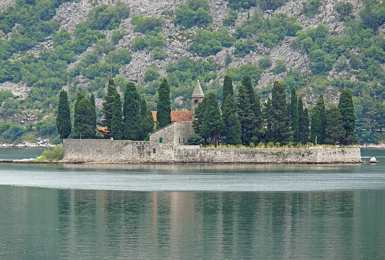
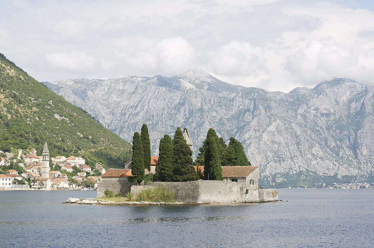
On Risan Bay sits Risan, known on the map for its Roman mosaics. Perast follows on the same stretch of shore, a small baroque town whose two island churches — Our Lady of the Rocks and Saint George Island — sit offshore and appear as two dots on the water on any decent map. Reading them in this order matches the way the bays nest.
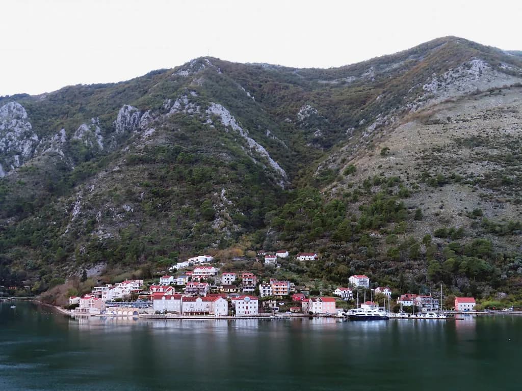
Kotor closes the sequence at the inner end of its own bay, with the walled town and its city walls drawn tight against the mountain. On a detailed map you can follow the shore north from Kotor through Dobrota, then Prčanj and Muo, small waterfront settlements strung along the same arm of water. None of these needs its own line on a national map, but each appears on a local tourist one, and knowing the sequence keeps you oriented when the road hugs the water.
Which towns sit on which bay
Herceg Novi Bay holds Herceg Novi at the entrance. Tivat Bay holds Tivat and its marina, and is the arm closest to the airport side of the region. Risan Bay holds Risan, while Perast and the two island churches sit further along the same arm towards Kotor Bay. Kotor Bay holds Kotor itself at the head of the water.
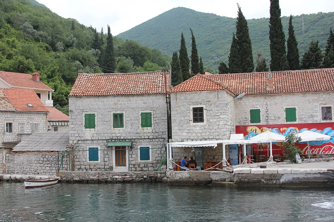
The villages between the main towns matter when you read a map at street level. Lepetane sits near the narrow point where the two shores come closest, and it is the landing point on the Kotor side of the short crossing. Kostanjica and Morinj sit further along the Risan Bay shore, small enough to be a single name on a printed map but distinct places on the ground.
On the northern arm between Kotor and Risan, Stoliv is a small waterfront village on the same stretch of shore. That dense shoreline is typical of the bay: a printed map shows a single label, while the lower settlements are what the road actually passes through.
The mountains that frame the map
Mount Orjen rises to the west of the bay at 1,894 m, and Mount Lovćen to the east at 1,749 m. Those two ranges are the reason the bay reads as an enclosed bowl on a map, and they explain why the roads between the shore towns must either follow the water or climb. When you judge a route on the tourist map, the contour lines and the mass of the two peaks tell you more about journey time than the straight-line distance does.
The geography also explains the map's most confusing feature, the sense that you can almost reach across the water. In places the two shores come close, and near Lepetane a short crossing runs between them rather than a long detour. Elsewhere, the water forces the road to follow the shore for kilometres.
Getting between the towns on the map
The tourist map distinguishes main roads from secondary roads, and that distinction is the practical one for planning. The main road links the larger towns and takes the long way round the bays; secondary roads drop to the smaller waterfront villages and are slower. Use the main road for moving between arms of the bay and the secondary roads for the villages themselves.
Because the bay is a chain rather than a loop, getting from one shore to the other means either driving around the head of each arm or taking the short crossing near Lepetane. That crossing is a practical link between the two shores rather than a long drive around the bays. See the Lepetane–Kamenari ferry guide for how the crossing fits a route, and check sailing times and fares locally before relying on it, as these change with the season.
The same geometry shapes any boat trip. Islands and villages across the water are close on paper but not connected by road, so a boat trip is a crossing rather than a detour. The two island churches off Perast are the clearest example: they sit on the map minutes from the shore, but you reach them by water only.
Using a printed or PDF map alongside a phone map
Download and print the tourist map before you travel. It shows the whole bay at once, which a phone screen cannot do without constant pinching, and it gives you the four-bay structure in a single view. That overview is what you need to decide which shore to base yourself on and which villages are worth the drive.
Keep the phone for the last mile. A printed tourist map is not detailed enough for the lanes of Kotor or the turnings down to villages such as Kostanjica, so use it for the shape of the bay and switch to a phone for street level. That division of labour avoids the classic mistake of following a small-scale map into a dead end.
Finally, annotate the printed map with the names in the order you will meet them. Writing the four bays along the water in sequence, plus the towns on each, turns a confusing outline into a route you can follow without re-reading the legend at every junction.
Which arm of the bay should your route follow?
Decide which arm of the bay your trip is built around before you book anything. Herceg Novi Bay and Tivat Bay suit an approach from the coast and the airport side, while Kotor Bay and Risan Bay put the walled town and the island churches within easy reach of each other. A route that hops between the two sides of the water needs the Lepetane crossing or a long drive around the head of each arm, so pick a side and work outwards.
Confirm the current sailing times for the crossing and any boat service to the islands locally on arrival, since these vary by season and cannot be fixed from a map alone.
Explore more Bay of Kotor guides
Sources
Notes for your Montenegro trip
Optional updates to our Montenegro town guides.
You might also like
Continue reading
More guides you'll find useful