Montenegro Mountains: Durmitor, Lovćen, Bjelasica and Prokletije
Montenegro's mountains run from Durmitor and Lovćen to Bjelasica, Komovi and Prokletije. Here is where each range sits, when to go and how to reach them.
On this page
Montenegro's mountains fall into two practical groups: the big interior massifs of Durmitor, Bjelasica, Sinjajevina, Komovi and Prokletije, reached from Žabljak, Kolašin and Plav, and the coastal backdrop of Lovćen, Orjen and Rumija, which you can reach from the coast in a morning. The interior ranges keep a shorter season than the coast, and Prokletije can hold snow well into summer. This guide covers where each range sits, the months the country's tourism board gives for each, the starting towns and what to arrange before you set off.
Where Montenegro's main ranges are
The country's official tourism site lists Durmitor, Bjelasica, Komovi, Sinjajevina, Prokletije, Visitor, Pivska planina, Maglić and Lovćen as its prominent mountains, with marked and arranged trails running to roughly 1,480 km and about 800 km of trail inside the national parks. The two highest summits it cites are Zla Kolata at 2,536 m and Bobotov Kuk at 2,523 m. Treat those names as your map: everything else in this guide hangs off one of them.
Peak-bagging databases count several thousand Montenegrin peaks, and while the total depends on how a peak is defined, the practical point for a visitor is that the ranges are close together on the map but slow to cross on the ground. Mountain roads twist and climb, and the writer of one long-distance cycle blog describes a small country where progress between ranges can take far longer than the distances suggest. Plan for fewer stops than you would at home, not more.
Durmitor and the country around Žabljak
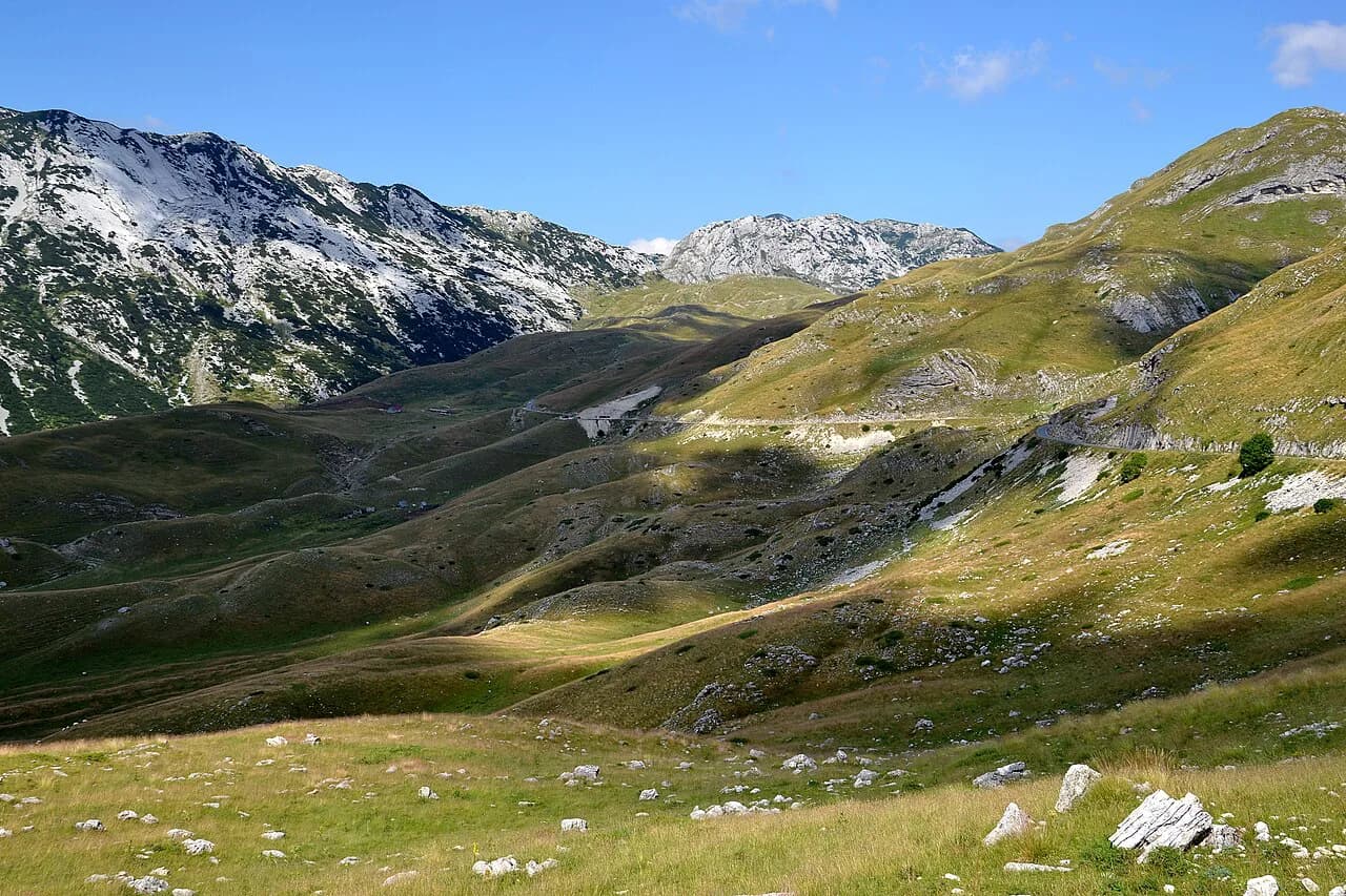
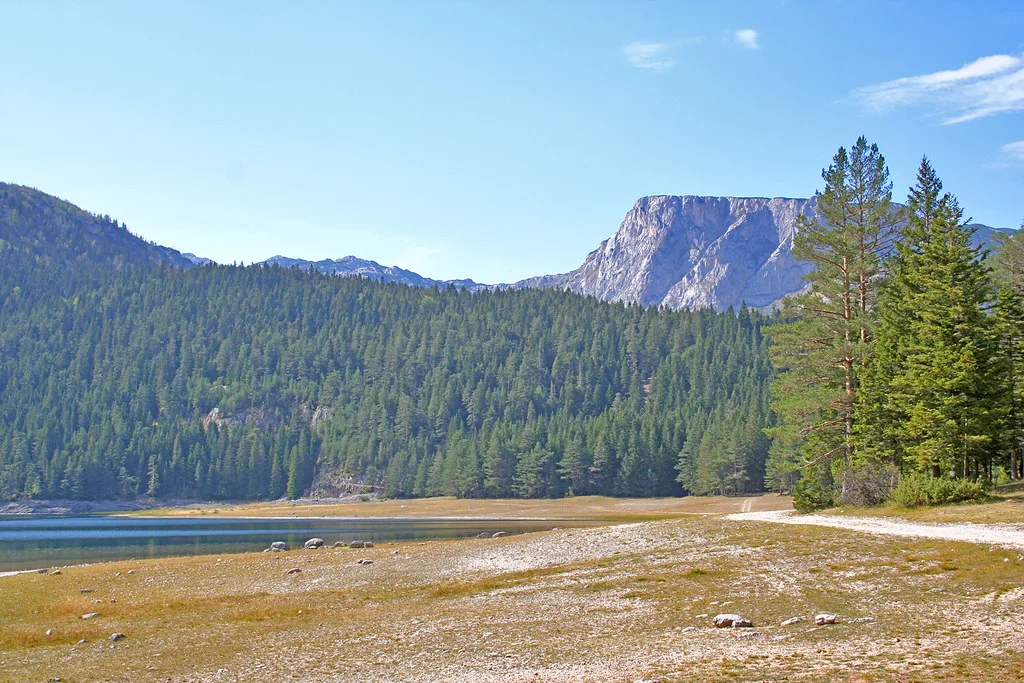
Durmitor National Park is the range most visitors mean when they picture Montenegro's high ground, and the tourism board names July, August and September as the best months to visit. Trekking here centres on the area around Žabljak and the national park's lakes, with the Durmitor Ring and the Ćurevac viewpoint singled out for panoramic touring. Build your base in Žabljak rather than trying to reach the park from the coast and back in a day.
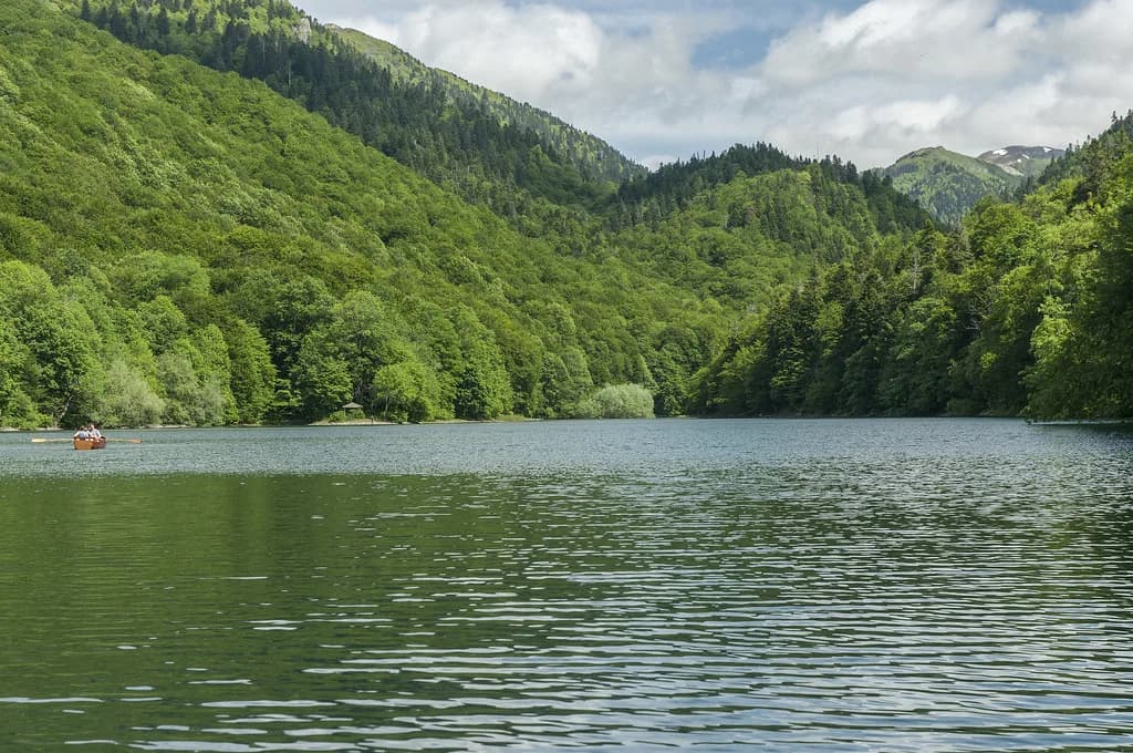
The tourism board is blunt that Durmitor's routes demand real fitness and stamina and are better done in organised groups than solo, and group tour operators working Durmitor and Prokletije arrange overnight stays, licensed guides and transport within the arrangement. If you are travelling independently, budget an extra night at altitude so a slow day does not wreck the rest of the trip. Savin Saz and Crno Jezero (Black Lake) appear among the country's well-known walking spots; the lakes themselves are covered in our guide to Montenegro lakes.
Lovćen above the Bay of Kotor
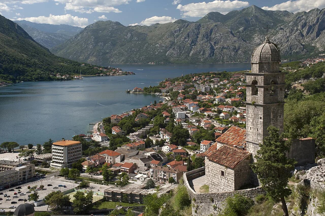
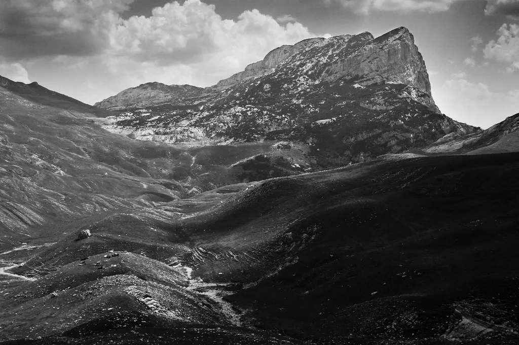
Lovćen is the range you can combine with a Bay of Kotor day: the tourism board lists Njegoš's mausoleum on Lovćen and the Sveti Ivan fortress above the Kotor walls among Montenegro's best-known walking spots, both with views over the bay. The road up from Kotor climbs steadily, so give the drive its own slot in the day rather than squeezing it between two old-town visits.
Because Lovćen sits directly above the coast, it falls inside the coastal walking window of mid-April to the end of October, which makes it the most flexible mountain day on a short trip. Opening times, entry charges and whether the road is passable after bad weather change from season to season, so confirm them with the national park before you set out. If you are building a wider parks itinerary, keep the national parks overview open alongside this page.
Bjelasica and Sinjajevina: the gentler ranges
Bjelasica and Sinjajevina are the ranges the tourism board points to for traditional trekking, describing them as suitable for all ages and best visited between May and the end of October. In winter the same ground works for snowshoeing and ski touring, so they suit a mixed-ability group better than Durmitor's long days. Kolašin is the obvious base for Bjelasica, with the mountain roads fanning out from the town.
The tourism board also notes night walking with flashlights near the ski centres on Bjelasica, and that equipment can be rented from a local tourist organisation or at the ski resorts, which saves carrying gear if the mountains are one part of a longer trip. Ask at the Kolašin tourist office what is currently available rather than assuming stock.
Prokletije and the Plav basin
Prokletije, the Montenegrin Alps, is reached from the quiet town of Plav, where the tourism board says most tours begin. Summer is the recommended trekking season, but the same source warns that snow can still be met even then, so pack for cold and wet ground whatever the month. The range holds dozens of peaks above 2,000 m, which is why it pays to decide your objective before you arrive.
For easier ground, the tourism board names Grebaja near Gusinje, Plavsko Lake and the stretch from Babino Polje to Hridsko Lake, so a first day on the gentler ground around Plav lets you check conditions higher up before committing to the peaks.
Orjen, Rumija and the coastal mountains
Orjen and Rumija form the wall behind the coast, and the tourism board includes them in the national network of long transversals alongside Lovćen. It also mentions Orjen as a full-moon night walk, which tells you the range is close enough to the coast for an evening outing rather than an expedition.
The long-distance routes
Two named routes cross the country: the Via Dinarica, whose White Trail links natural and cultural sites through the Dinaric Alps, and the Peaks of the Balkans, which the tourism board places in the Prokletije massif and describes as challenging. Both are logistics problems as much as walking ones, because you need to plan where you sleep, how you move between stages and what happens if weather turns.
The tourism board's own advice for anything remote is to go with a certified and licensed mountain guide, and it points to the Mountaineering Association of Montenegro for a list of guides. For a multi-day route, book the guide and the accommodation before you book transport.
When to go: coastal versus mountain seasons
The tourism board gives two windows rather than one: hiking along the coast runs from mid-April to the end of October, while the interior massifs of Maglić, Durmitor, Komovi, Visitor, Hajla and Prokletije run from June to the end of October. Bjelasica and Sinjajevina sit inside the earlier May-to-October window. Check which window applies to the range you have chosen before you fix dates.
Outside those windows the mountains do not close, but the tourism board's guidance shifts to snowshoes and touring skis from December to March, which is a different kind of trip with different gear. The interior massifs carry snow into the early part of the year, so check conditions with a local guide or tourist organisation before setting dates outside the listed windows.
Getting to the mountains
The coast and the interior are close on a map but not in time: one cycling account of Montenegro describes how the mountains make the country slow to cross, with steep, winding roads eating the day. Use Žabljak for Durmitor, Kolašin for Bjelasica and Sinjajevina, and Plav for Prokletije, and accept that each base wants at least two nights.
A car gives you the flexibility to move between ranges, but the driving is slow and the passes can be affected by weather. It is worth confirming transport arrangements with the operator or a local tourist organisation before you rely on them.
Equipment, guides and safety
The tourism board is clear that hiking and trekking require adequate equipment, and that going into the mountains in organised groups with a certified and licensed mountain guide is the safest option. On Durmitor and Prokletije in particular, it recommends groups over solo walking. If you are hiring gear, ask at the ski resorts on Bjelasica or at a tourist organisation.
Weather in the high ranges turns quickly and snow can fall outside the expected months, so build a spare day into any itinerary that depends on a summit. Carry water, layers and the equipment the tourism board says the terrain requires, and tell someone at your accommodation where you are going.
Which mountain should you build your trip around?
If you have one mountain day, take Lovćen: it sits above the Bay of Kotor, falls inside the longer coastal season and combines with the Kotor walls. If you have three or four days, base yourself in Žabljak for Durmitor in July to September, or Kolašin for the gentler Bjelasica and Sinjajevina from May. Choose Plav and Prokletije only if you are fit, prepared for lingering snow and happy to go with a guide.
Explore more Montenegro guides
Frequently Asked Questions
Which countries share a border with Montenegro?
That question is about the country rather than its mountains, so it sits outside this guide. For mountain planning, what matters more is which range you can reach from which base: Žabljak for Durmitor, Kolašin for Bjelasica and Sinjajevina, Plav for Prokletije, and the coast for Lovćen.
What is the most scenic part of Montenegro?
Scenery is a matter of taste, but the tourism board singles out the Kotor walls and Sveti Ivan fortress for their view over the Bay of Kotor, Njegoš's mausoleum on Lovćen, and Savin Saz and Crno Jezero on Durmitor. All four are reachable from a coast or mountain base.
Sources
Notes for your Montenegro trip
Optional updates to our Montenegro town guides.
You might also like
Continue reading
More guides you'll find useful