Podgorica Map: How to Read the City and Where Things Are
A Podgorica map makes more sense once you know the city sits just north of Lake Skadar, close to the Adriatic coast. Here is how to read the layout.
On this page
A Podgorica map is easiest to read once you fix the city's position: it is the capital and largest city of Montenegro, sitting just north of Lake Skadar and close to coastal destinations on the Adriatic Sea. That single fact does most of the orientation work, because it tells you the coast lies to the south-west and the lake to the south. This guide covers which maps are useful for a visit, where the city sits on a map of Montenegro and of Europe, and the labels a crowdsourced map puts on the city.
What a Podgorica map actually covers
Treat a Podgorica map as two different tools that answer two different questions. A tourist map answers where the sights are, marking museums, tourist information centres, points of interest, tourist attractions and sightseeing across the city. A routing app answers how to get from one to the next, and it is the one that keeps up with one-way streets and closures. Decide which question you are asking before you open either.
The printable tourist map is the better starting point for planning a day on foot, because it shows the spread of the sights in one view rather than one search result at a time. Its weakness is that it does not carry the detail you need on the ground, such as which entrance a museum uses. Carry it for the shape of the city and use a phone for the last hundred metres.
Which maps are actually useful
A printable tourist map of Podgorica is worth printing before you travel, since it shows tourist information centres, museums, points of interest, tourist attractions and sightseeing in a single sheet. Download or print it at home rather than relying on finding one in the city, and mark the handful of places you actually intend to see. The map is a planning aid, not a navigation device.
Standard mapping apps handle the routing side, and they are what you will use to walk between sights or to reach the city from the coast. Keep both: the printed sheet for choosing what to see, the app for getting there. If you want a sense of what is worth putting on the list first, work through the things to do in Podgorica before you open any map at all.
Where Podgorica sits on a map of Montenegro and of Europe
On a map of Montenegro, Podgorica sits inland from the Adriatic coast and just north of Lake Skadar, which puts it between the sea and the lake rather than on either. That position is why the city works as a stop between coastal towns and the lake, rather than as a coastal destination in its own right. Look at the country map first, then zoom into the city.
On a map of Europe, Podgorica appears in the south-east of the continent, with the Adriatic coast to the south-west and Lake Skadar to the south. That is enough for planning a route into Montenegro from the UK, Ireland or the US, but it will not tell you anything about the streets. Switch to a city-scale map once the country-scale one has done its job.
Getting directions to Podgorica from the coast and the lake
Use the map to see the relationship between Podgorica, the coast and Lake Skadar before you book anything, then confirm the route and timing with your transport provider or a current routing app on the day. The map shows where things are, not how long the journey takes or when it runs. For the city itself, a Podgorica walking tour covers the centre on foot without needing a vehicle at all.
If your map shows the city centre in detail, look for the old quarter before anything else, since the Podgorica old town is the part where a street-level map earns its keep. The wider city is spread out and easier to misjudge on paper than the compact historic core.
The labels a crowdsourced map puts on Podgorica
A crowdsourced neighbourhood map of Podgorica labels City Kvart and Lepa Kata, alongside voted labels such as hipster cafes and night life. Treat those labels as what they are: contributions from members of the public, not an editorial ranking and not a statement about safety, quality or atmosphere. They are useful as a prompt to look at an area, not as a verdict on it.
Read the tags with a healthy scepticism, because a single upvote can carry as much weight on screen as a considered local view. Cross-check any area that interests you against a conventional map and your own priorities before you build a day around it. If you want the history behind the districts you are looking at, Podgorica history gives the background the map never will.
The same caution applies to the museum and sight labels on any map, since a pin tells you a place exists and little else. Check the specific venue you plan to visit against a dedicated guide before travelling across the city for it, and pick from the museums in Podgorica on the strength of what they hold rather than their position on a sheet.
Map formats: printable, on-screen and on foot
Print the tourist sheet if you like planning on paper, and keep the same map open on a phone as a backup for when the paper gets wet or left behind. On-screen maps are easier to search and harder to see whole, which is why the two formats complement each other rather than compete. Neither needs a data connection once the sheet is printed.
For a city like Podgorica, where the sights are spread between the centre and outlying monasteries, the printable map is most useful for deciding what to leave out. A shortlist of three or four places beats a sheet covered in pins. The Podgorica Attractions hub sets out the individual sights so the map can do the geography and the guide can do the substance.
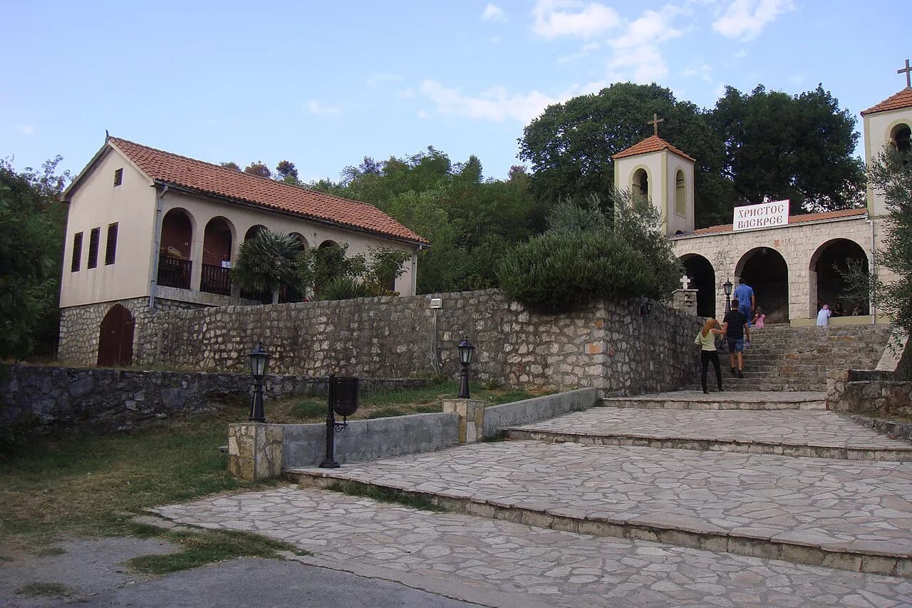
If an outlying site such as Dajbabe monastery is on your list, check its position on the map before committing a half-day to it. The Dajbabe Monastery page covers the visit itself.
What a map will not tell you
No map tells you when a museum opens, what a ticket costs or when the next bus leaves. Those details change, and the reliable source is the venue or operator itself, so confirm them directly before you set out rather than trusting a pin. The map's job ends at where; everything else belongs to the venue.
The same applies to the tourist information centres marked on a tourist map: locating one is not the same as knowing it is staffed when you arrive. Treat the marker as a place to find, then check the details you need before you go. Build your day around two or three fixed points and let the map handle the gaps between them.
Which map to open first
Open the printable tourist map first to decide what you want to see, then switch to a routing app to get between those places. Use the country map to understand where Podgorica sits between the coast and Lake Skadar, and leave the crowdsourced labels for inspiration rather than instruction.
Confirm opening hours, ticket prices and transport timings with the venue or operator before you travel, because no map carries them. With the geography settled, the rest of the planning is a shortlist and a pair of comfortable shoes.
Explore more Podgorica guides
- Dajbabe Monastery
- Doclea: The Roman City Ruins North of Podgorica
- Niagara Waterfall, Podgorica
- Restaurants in Podgorica
- Cafés in Podgorica
- Churches in Podgorica
- Free Things to Do in Podgorica
- One Day in Podgorica
- Podgorica Itinerary
- Podgorica Market
- Podgorica Tours
- Podgorica Viewpoints
- Shopping in Podgorica
- Podgorica Attractions
Sources
Notes for your Montenegro trip
Optional updates to our Montenegro town guides.
You might also like
Continue reading
More guides you'll find useful